MyTopo
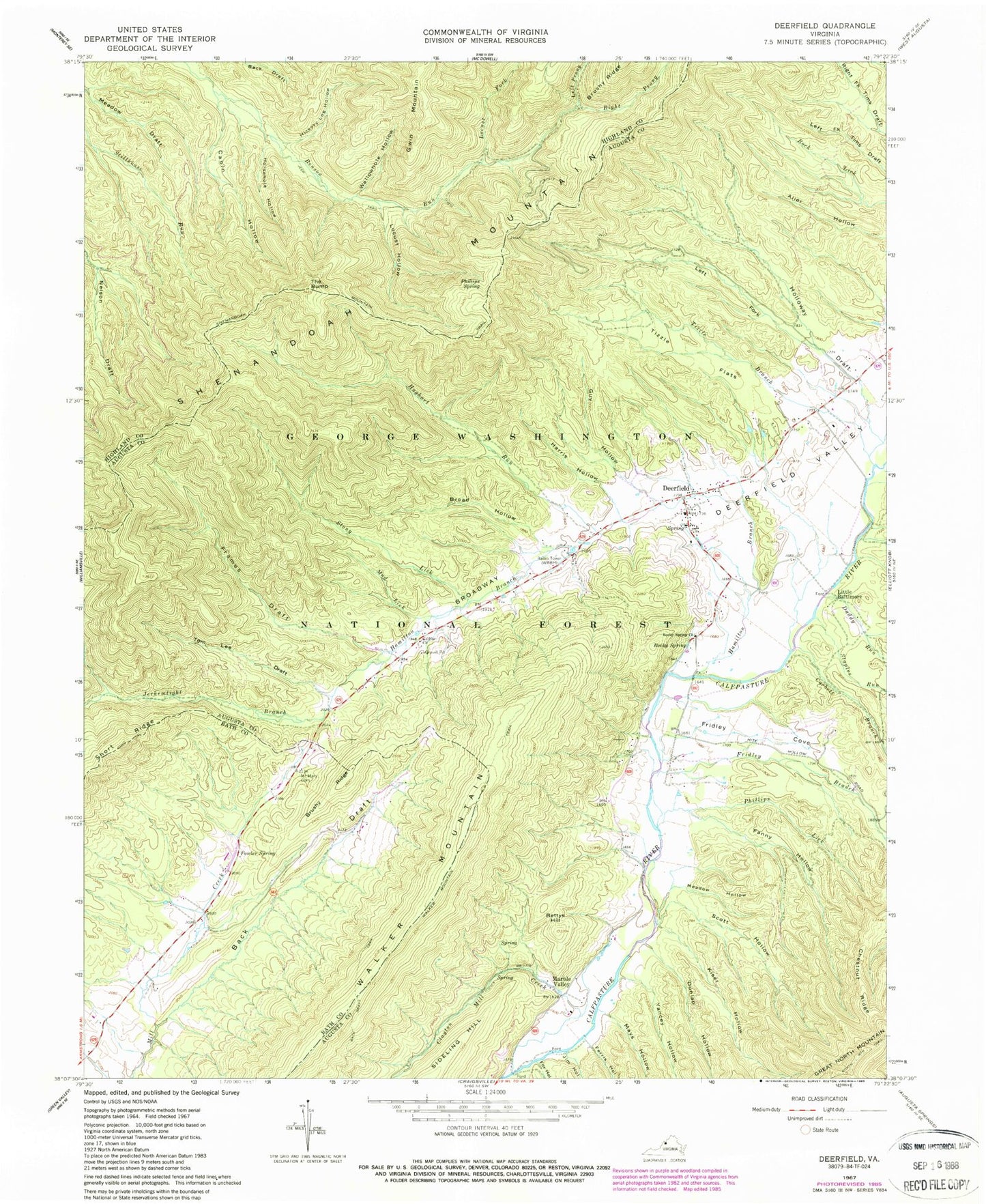
Classic USGS Deerfield Virginia 7.5'x7.5' Topo Map
Couldn't load pickup availability
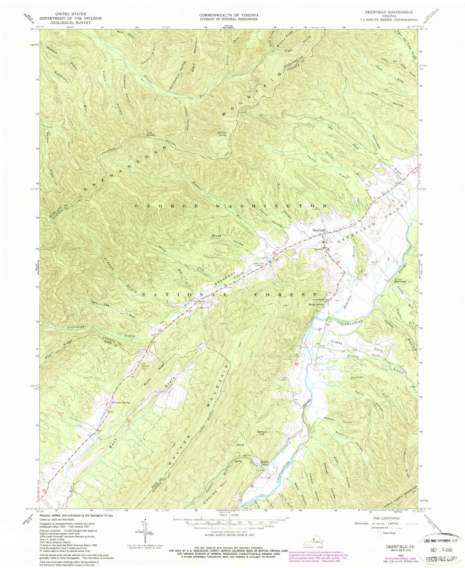
Historical USGS topographic quad map of Deerfield in the state of Virginia. Typical map scale is 1:24,000, but may vary for certain years, if available. Print size: 24" x 27"
This quadrangle is in the following counties: Augusta, Bath, Highland.
The map contains contour lines, roads, rivers, towns, and lakes. Printed on high-quality waterproof paper with UV fade-resistant inks, and shipped rolled.
Contains the following named places: Locust Hollow, Rocky Spring, Back Draft, Benson Run Trail, Broad Hollow, Broadway, Brushy Ridge, Cabin Hollow, Chestnut Ridge, Clayton Mill Creek, Corbett Branch, Daddy Run, Deerfield Valley, Dunlap Hollow, Fanny Hollow, Ferris Hollow, Fowler Spring, Fox Hollow, Frames Draft, Fridley Branch, Fridley Cove, Griffin Church, Guy Hollow, Hamilton Branch, Harris Hollow, Hickory Log Hollow, Holloway Draft, Horsehole Hollow, Hughart Run, Jerkemtight Branch, Jim Hollow, Kiser Hollow, Left Prong Benson Run, Locust Fork, Mays Hollow, Meadow Hollow, Mount Mary Cemetery, Mud Lick, North Mountain Trail, Phillips Spring, Right Prong Benson Run, Rocky Spring Church, Scott Hollow, Left Fork Holloway Draft, Walker Mountain, Yancey Hollow, Shenandoah Mountain Trail, Staples Run, Still Run, Stony Lick, The Bump, Tims Draft, Tizzle Branch, Tizzle Flats, Tom Lee Draft, Wallowhole Hollow, Deerfield Guard Station, Left Fork, Deerfield Information Center, Bettys Hill, Deerfield, Little Baltimore, Marble Valley, Phillips Lick, Wilderness School (historical), Deerfield Elementary School, Deerfield Volunteer Fire Rescue Department Company 2 Rescue 2, Deerfield Census Designated Place, Ruleman Turkey Farm, Deerfield Post Office


