MyTopo
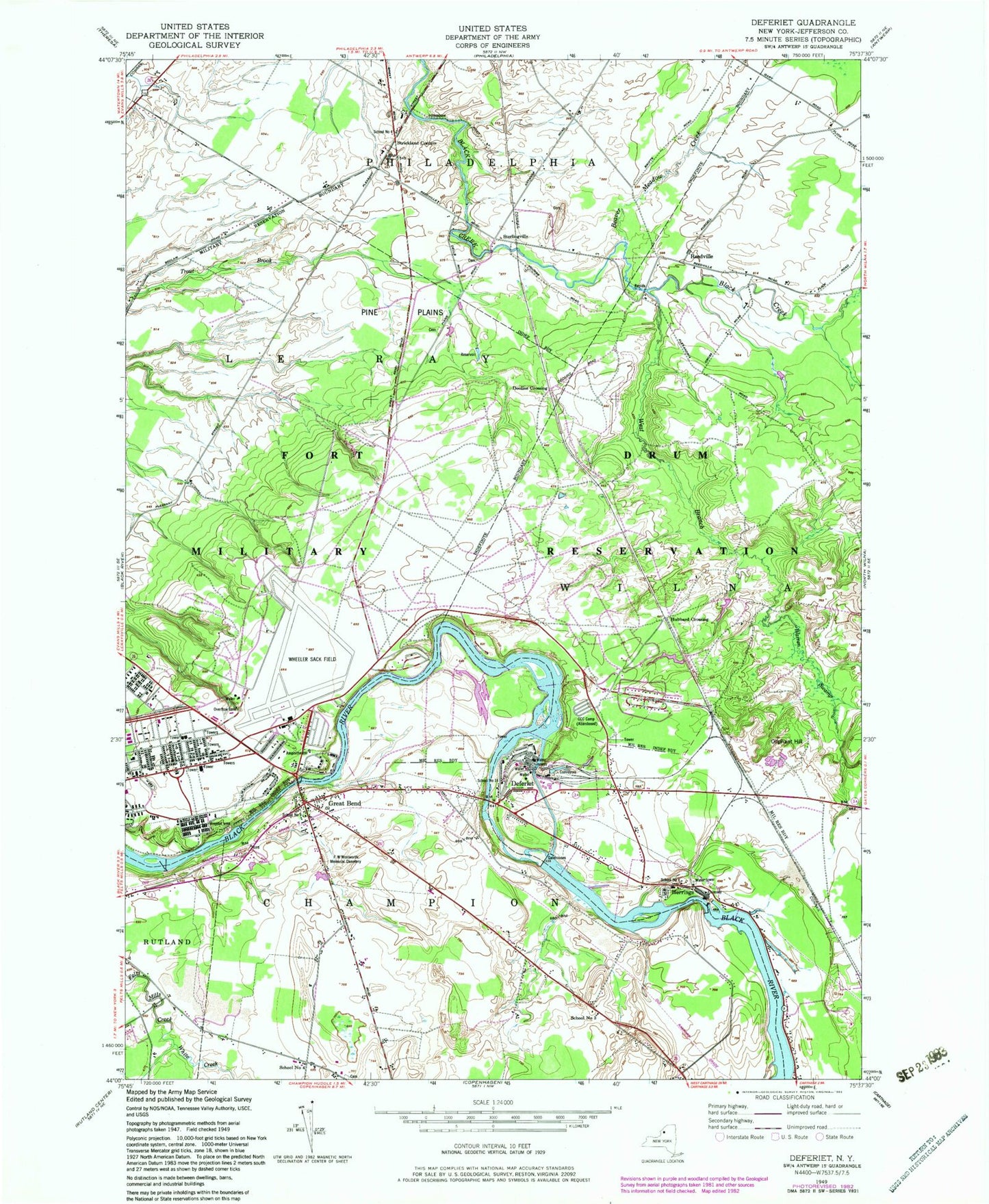
Classic USGS Deferiet New York 7.5'x7.5' Topo Map
Couldn't load pickup availability
Historical USGS topographic quad map of Deferiet in the state of New York. Map scale may vary for some years, but is generally around 1:24,000. Print size is approximately 24" x 27"
This quadrangle is in the following counties: Jefferson.
The map contains contour lines, roads, rivers, towns, and lakes. Printed on high-quality waterproof paper with UV fade-resistant inks, and shipped rolled.
Contains the following named places: Beaver Meadows Creek, CCC Camp, Christian Heritage School, City of Refuge Christian Church, Deferiet, Deferiet Union Church, Deferiet Volunteer Fire Company, Doolins Crossing, Fort Drum Fire Department Wheeler Sack Army Airfield, Great Bend, Great Bend Census Designated Place, Great Bend Post Office, Great Bend Volunteer Fire Department, Herrings, Herrings Census Designated Place, Herrings Village Wastewater Treatment Facility, Hubbard Crossing, Oliphant Hill, Pine Plains, Reedville, School Number 14, School Number 3, School Number 4, School Number 8, School Number 9, Sterlingville, Strickland Corners, Sunnyside Cemetery, Village of Deferiet, Village of Herrings, Warren Swamp, Watertown Korean United Methodist Church, West Branch Black Creek, Wheeler-Sack Army Airfield, White Creek, Woolworth Memorial United Methodist Church, ZIP Codes: 13628, 13638, 13643


