MyTopo
Classic USGS Defiance West Ohio 7.5'x7.5' Topo Map
Couldn't load pickup availability
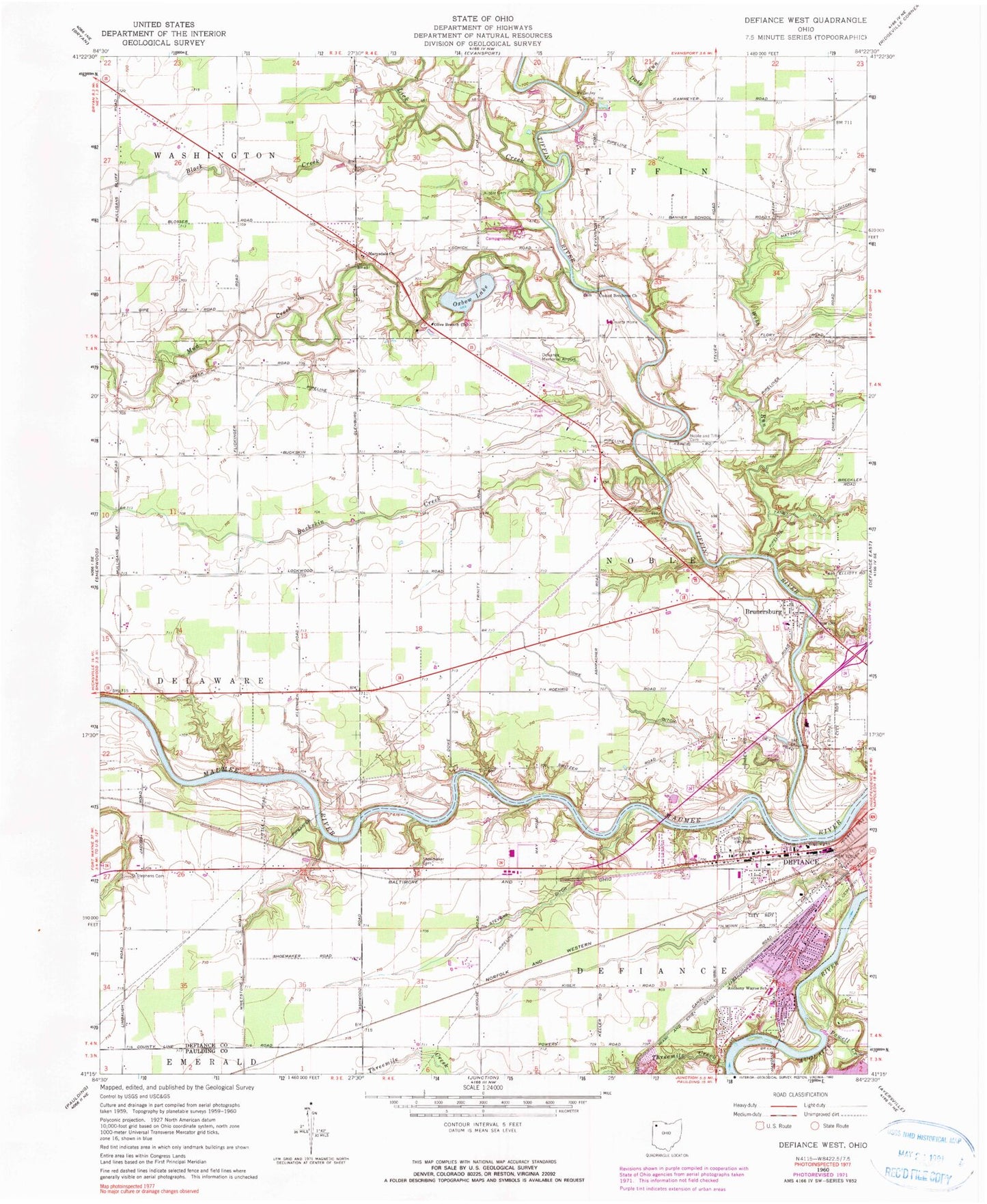
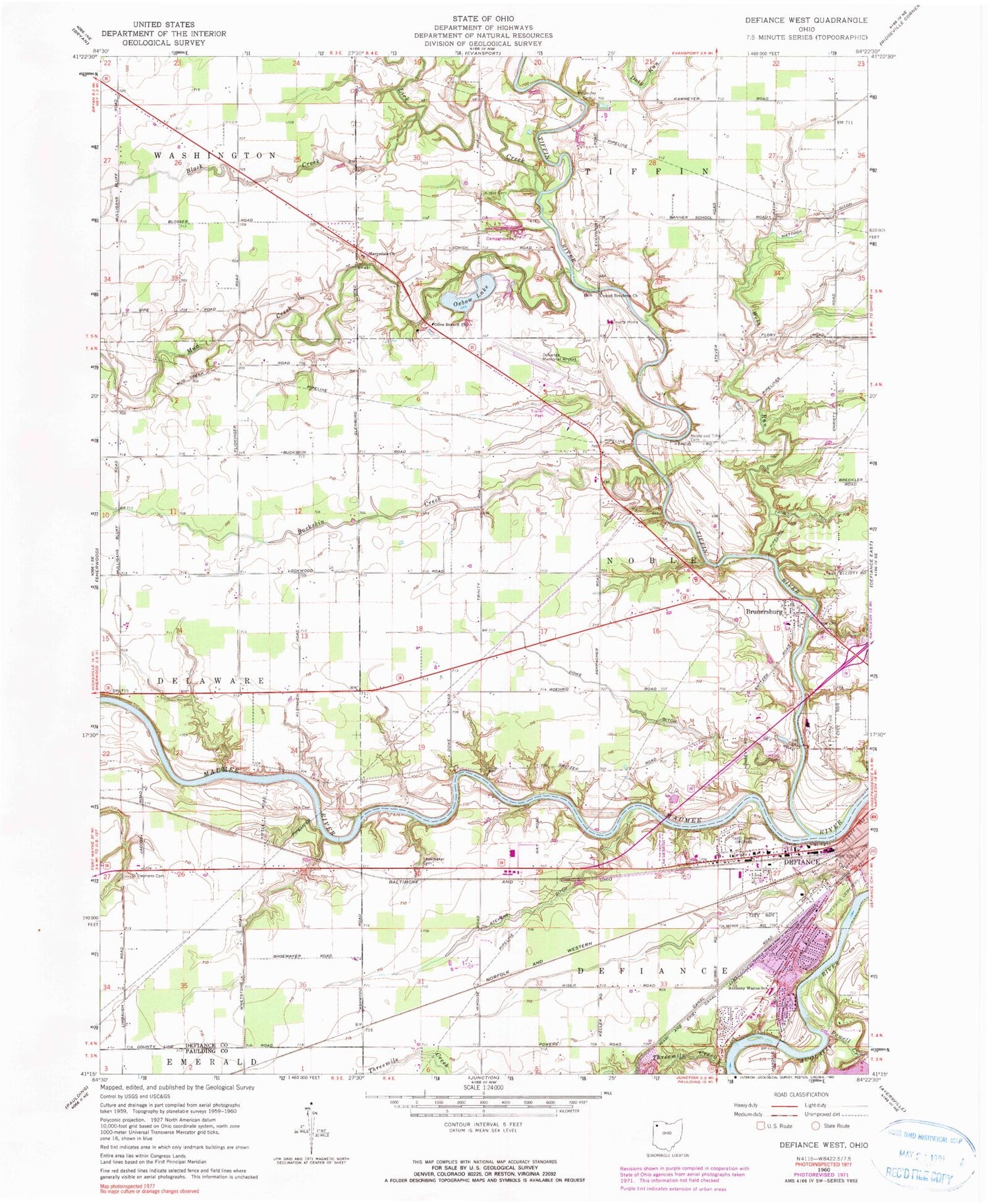
Historical USGS topographic quad map of Defiance West in the state of Ohio. Map scale may vary for some years, but is generally around 1:24,000. Print size is approximately 24" x 27"
This quadrangle is in the following counties: Defiance, Paulding.
The map contains contour lines, roads, rivers, towns, and lakes. Printed on high-quality waterproof paper with UV fade-resistant inks, and shipped rolled.
Contains the following named places: Anthony Wayne Elementary School, Ashwood, Ashwood Post Office, Black Creek, Bohlmanns Trailer Park, Bronson Park, Brunersburg, Brunersburg Cemetery, Brunersburg Census Designated Place, Brunersburg Post Office, Buckskin Creek, Camp Lacota, Camp Lakota Boy Scout Lake Dam, Catholic Cemetery, Church of Christ, Cooks Rolling Hills, Defiance County, Defiance County Children Home Cemetery, Defiance County Home, Defiance County Home Cemetery, Defiance Memorial Airport, Defiance Water Treatment Plant, Dowe Ditch, Frazee Cemetery, Glenwood School, Hill Cemetery, Kibble Cemetery, Kingdom Hall of Jehovahs Witnesses, Legion Field, Lick Creek, M and M Medivan Ambulance, Marysdale Catholic Cemetery, Marysdale Church, McCauley Cemetery, Medcorp Emergency Medical Services, Millers Rolling Hills Estates, Mud Creek, Noble and Tiffin Cemetery, Noble Township Elementary School, Noble Township Fire Department, Ohio State Highway Patrol - Defiance Patrol Post, Olive Branch Church, Oxbow Lake, Oxbow Lake Dam, Oxbow Lake State Wildlife Area, Powell Creek, ProMedica Defiance Regional Hospital, Riverside Cemetery, Saint Stephens Cemetery, Shoemaker Cemetery, Short Trailer Park, Stevens Ditch, Tecumseh Park, Threemile Creek, Tiffin River, Township of Noble, Webb Run, WONW-AM (Defiance)


