MyTopo
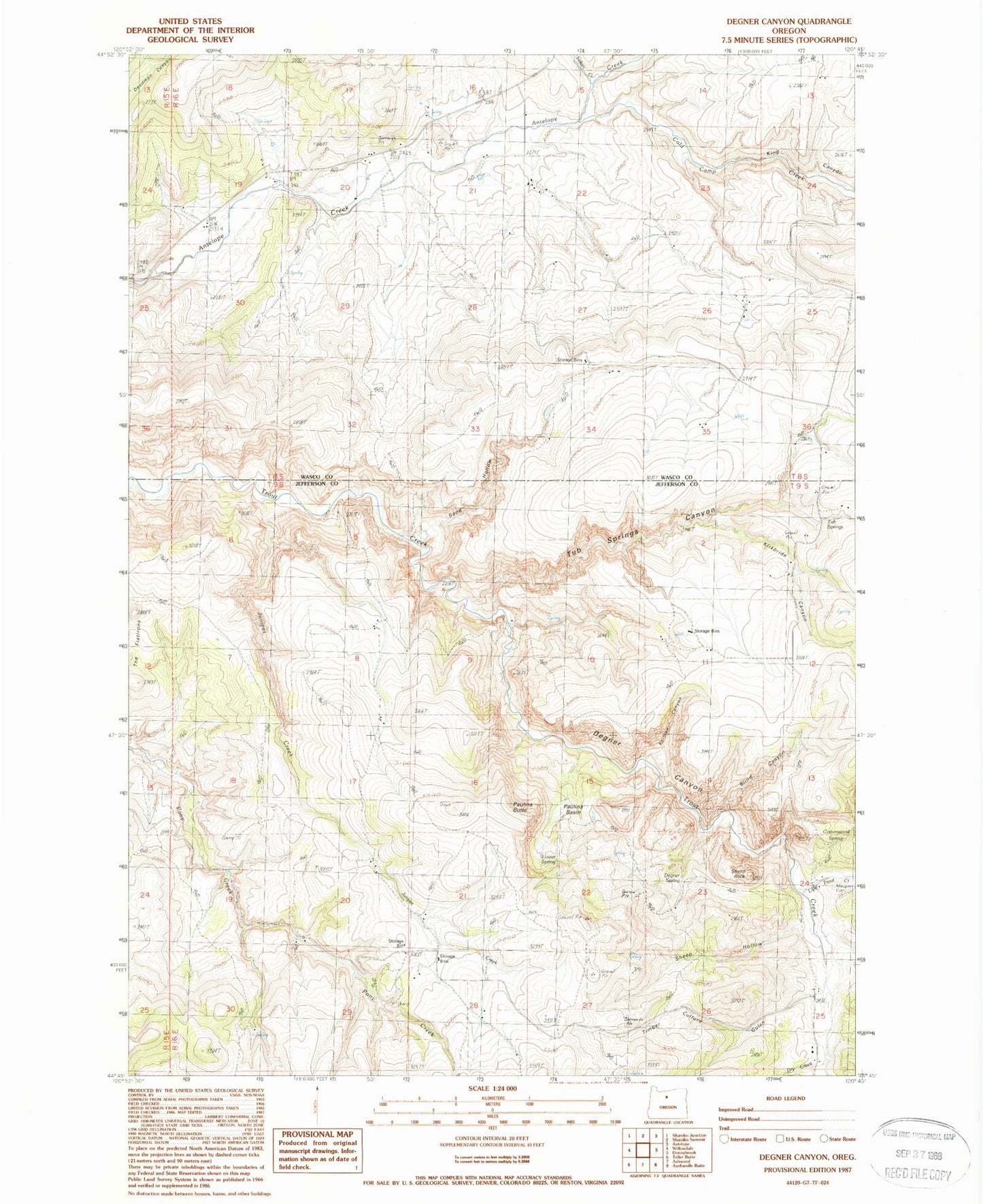
Classic USGS Degner Canyon Oregon 7.5'x7.5' Topo Map
Couldn't load pickup availability
Historical USGS topographic quad map of Degner Canyon in the state of Oregon. Map scale may vary for some years, but is generally around 1:24,000. Print size is approximately 24" x 27"
This quadrangle is in the following counties: Jefferson, Wasco.
The map contains contour lines, roads, rivers, towns, and lakes. Printed on high-quality waterproof paper with UV fade-resistant inks, and shipped rolled.
Contains the following named places: Blind Canyon, Cold Camp Creek, Cottonwood Spring, Degner Canyon, Degner Spring, Dry Creek, Forman Canyon, Indian Creek, Juniper Creek, Kimsey Springs, King Canyon, King Creek, Kirkbride Canyon, Little Trout Creek, Long Hollow, Lower Spring, Maupin Cemetery, Paulina Basin, Paulina Butte, Sand Hollow, Sheep Hollow, Sheep Rock, Timber Culture Gulch, Tub Springs, Tub Springs Canyon