MyTopo
Classic USGS Degrasse New York 7.5'x7.5' Topo Map
Couldn't load pickup availability
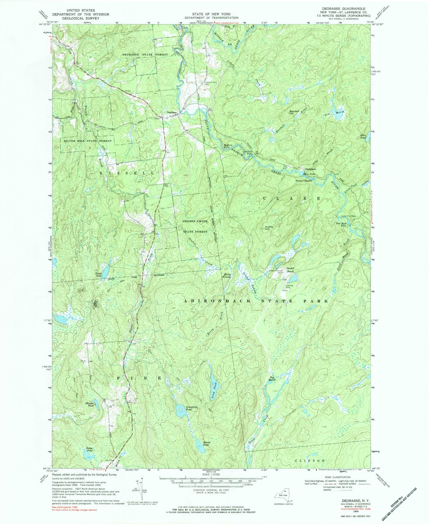
Historical USGS topographic quad map of Degrasse in the state of New York. Map scale may vary for some years, but is generally around 1:24,000. Print size is approximately 24" x 27"
This quadrangle is in the following counties: St. Lawrence.
The map contains contour lines, roads, rivers, towns, and lakes. Printed on high-quality waterproof paper with UV fade-resistant inks, and shipped rolled.
Contains the following named places: Allen Brook, Allen Pond Outlet, Basford Falls, Berry Brook, Berry Swamp, Big Marsh, Camp Flat-Rock, Clarksboro, Clifton Hunt Club Airport, Colton Creek, Degrasse, Degrasse Clare and South Russell Volunteer Fire Department, Degrasse State Forest, Dodge Pond, Flat Rock Falls, Greenfield Pond, Huftle Hill, Long Pond, Orebed Creek, Orebed Creek State Forest, Orebed Ponds, Orebed Swamp, Pine Marsh, Pleasant View Cemetery, Randall Brook, Randall Hill, Round Pond, Shingle Pond, Silver Hill State Forest, Sinclair Falls, Steep Bank Brook, Stewart Rapids, Sweet Pond, Twin Falls, ZIP Code: 13684


