MyTopo
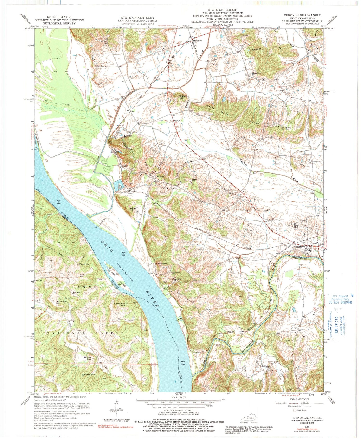
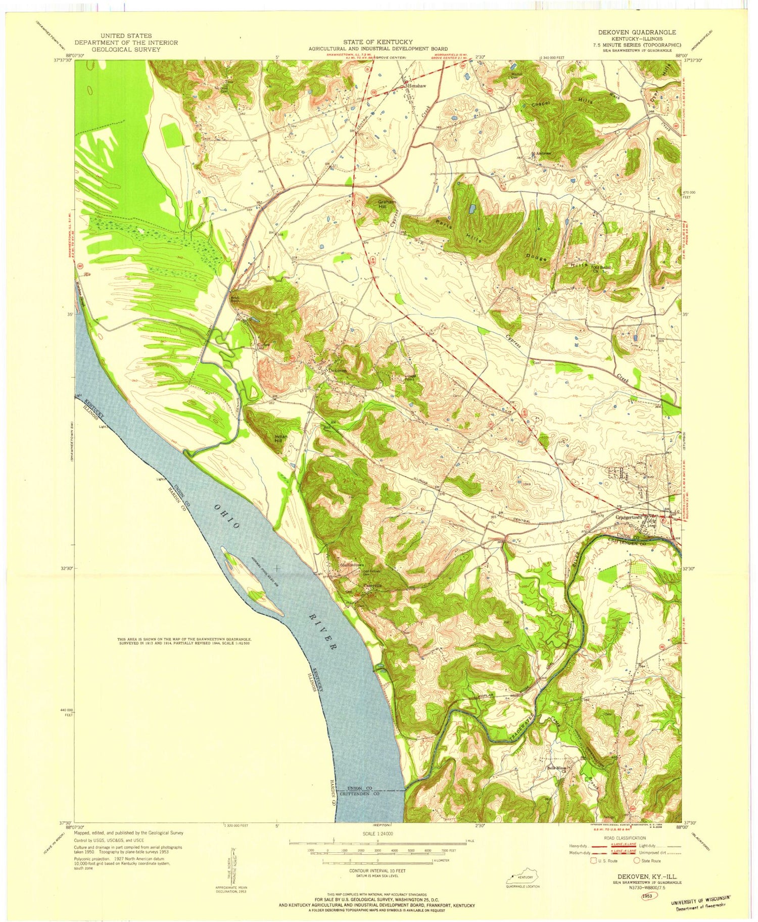
Classic USGS Dekoven Kentucky 7.5'x7.5' Topo Map
Couldn't load pickup availability
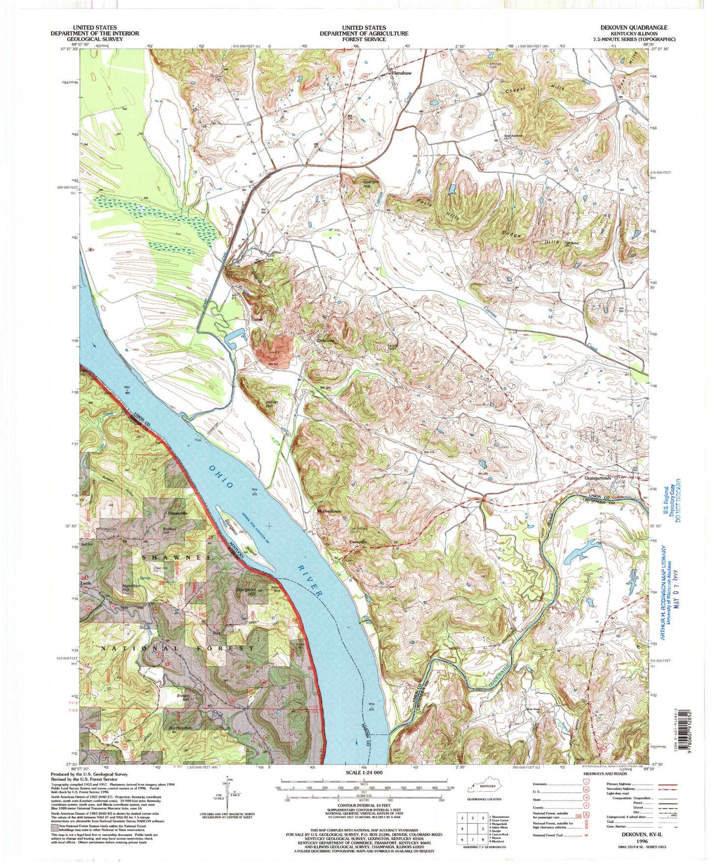
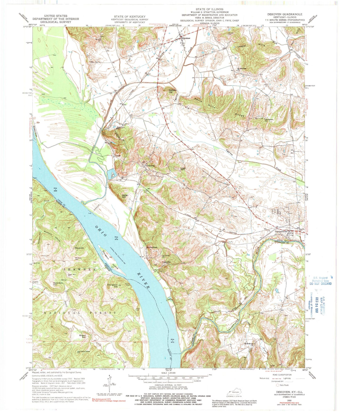
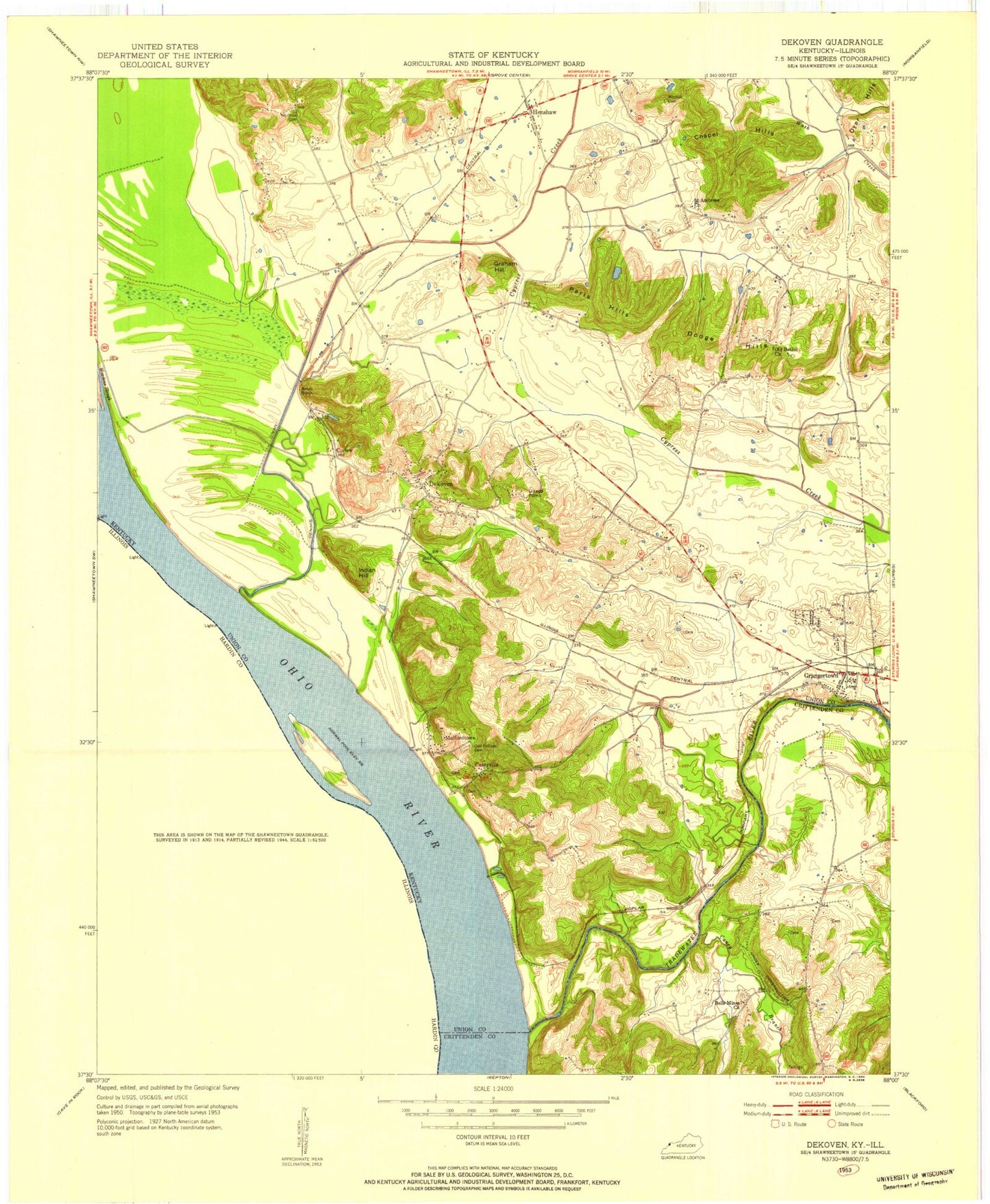
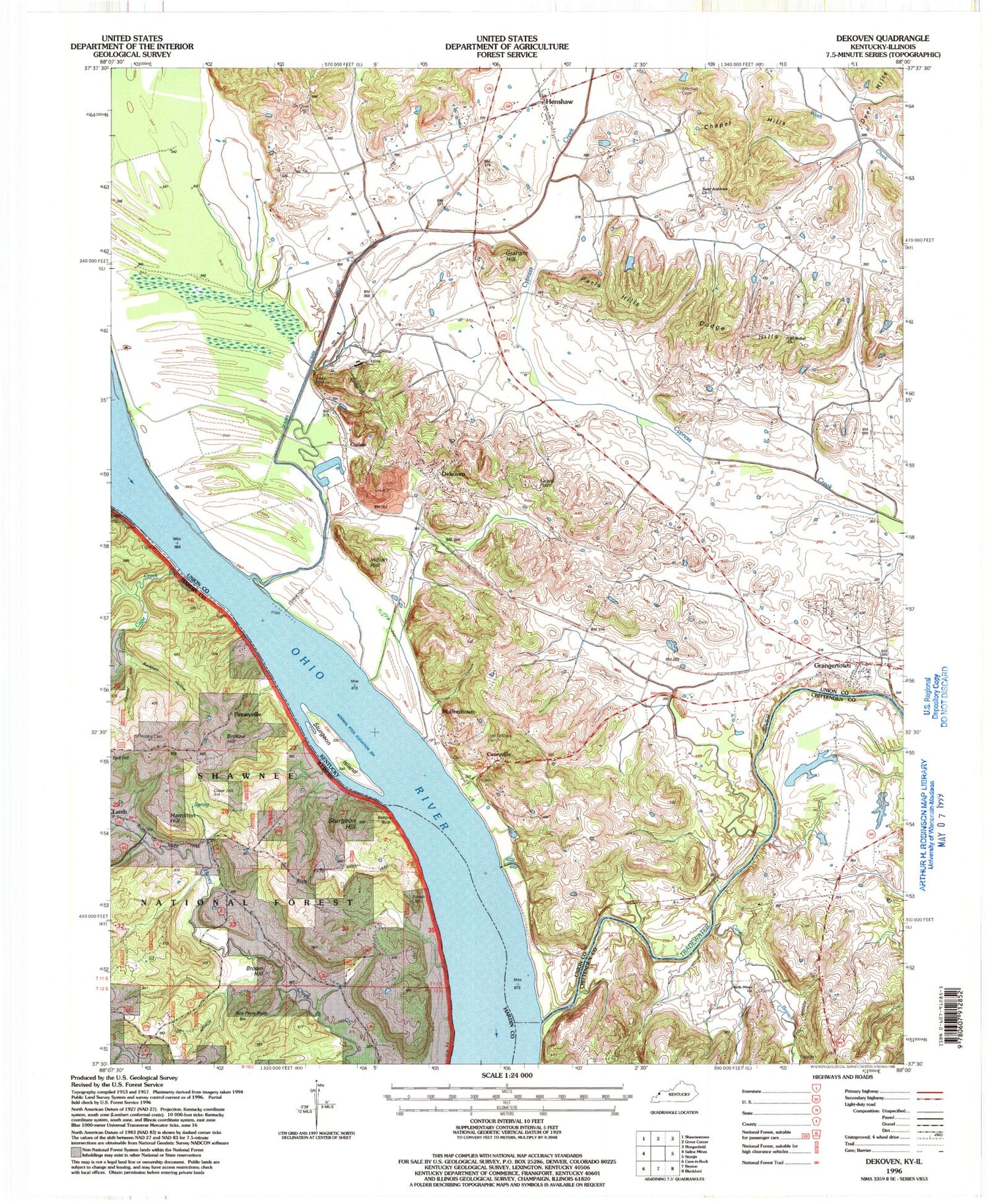
Historical USGS topographic quad map of Dekoven in the states of Kentucky, Illinois. Typical map scale is 1:24,000, but may vary for certain years, if available. Print size: 24" x 27"
This quadrangle is in the following counties: Crittenden, Hardin, Union.
The map contains contour lines, roads, rivers, towns, and lakes. Printed on high-quality waterproof paper with UV fade-resistant inks, and shipped rolled.
Contains the following named places: Anvil Rock, Bells Mines Church, Caseyville, Chapel Hills, Dekoven, Dennis O'Nan Ditch, Dodge Hills, Graham Hill, Grangertown, Henshaw, Indian Hill, Lizard Point, Michael Cemetery, Mount Olive Cemetery, Mulfordtown, Caseyville Cemetery, Old Bethel Church, Paris Hills, Saint Ambrose Church, Sturgeon Island, Tradewater River, Curlew, Caney Branch, Green Chapel Hollow, Wardens Slough, Dekoven Census Designated Place, Henshaw Volunteer Fire Department, Cattail Pond (historical), Curlew Lakes, Locust Lick Creek, Bells Mine (historical), Old Bethel Cemetery, Grangertown Cemetery, Ace Perry Point, Battery Rock, Brokaw Hill, Brown Cemetery, Brown Hill, Buckhart Hollow, Crow Hill, Hamilton Hill, Hobbs Cemetery, Panther Hollow, Sturgeon Hill, Finneyville, Cane Creek, Lamb, Battery Rock School (historical), Gentry Landing, Sellers Landing, Anvil Rock, Bells Mines Church, Caseyville, Chapel Hills, Dekoven, Dennis O'Nan Ditch, Dodge Hills, Graham Hill, Grangertown, Henshaw, Indian Hill, Lizard Point, Michael Cemetery, Mount Olive Cemetery, Mulfordtown, Caseyville Cemetery, Old Bethel Church, Paris Hills, Saint Ambrose Church, Sturgeon Island, Tradewater River, Curlew, Caney Branch, Green Chapel Hollow, Wardens Slough, Dekoven Census Designated Place, Henshaw Volunteer Fire Department, Cattail Pond (historical), Curlew Lakes, Locust Lick Creek, Bells Mine (historical), Old Bethel Cemetery, Grangertown Cemetery, Ace Perry Point, Battery Rock, Brokaw Hill, Brown Cemetery, Brown Hill, Buckhart Hollow, Crow Hill, Hamilton Hill, Hobbs Cemetery, Panther Hollow, Sturgeon Hill, Finneyville, Cane Creek, Lamb, Battery Rock School (historical), Gentry Landing, Sellers Landing
