MyTopo
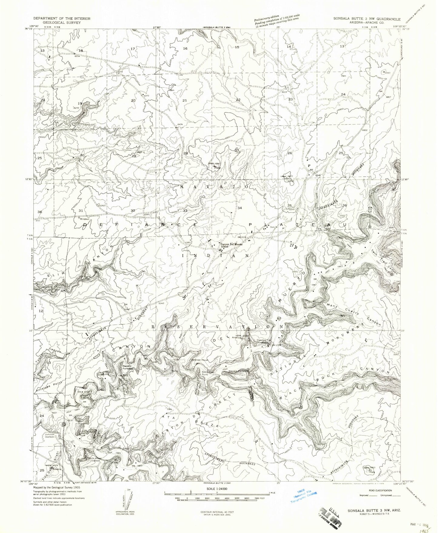
Classic USGS Del Muerto Arizona 7.5'x7.5' Topo Map
Couldn't load pickup availability
Historical USGS topographic quad map of Del Muerto in the state of Arizona. Typical map scale is 1:24,000, but may vary for certain years, if available. Print size: 24" x 27"
This quadrangle is in the following counties: Apache.
The map contains contour lines, roads, rivers, towns, and lakes. Printed on high-quality waterproof paper with UV fade-resistant inks, and shipped rolled.
Contains the following named places: Antelope Trail, Black Rock Canyon, Canyon del Muerto, Canyon de Chelly, Canyon del Muerto School, Far Spiral Canyon, Many Cherry Canyon, Many Ladders Trail, Maos Trail, Navajo Fortress, Tiba Dah Silahi, Twin Trail Canyon, White House Overlook, Womans Trail, Canyon del Muerta School, Cottonwood Spring, Crack in Rock Trail, Dog Rock, Many Skulls Trail, Rabbit Water, Refuge Rock, Rough Rock Spring, Standing Rock, Junction Overlook, Del Muerto, Del Muerto Census Designated Place