MyTopo
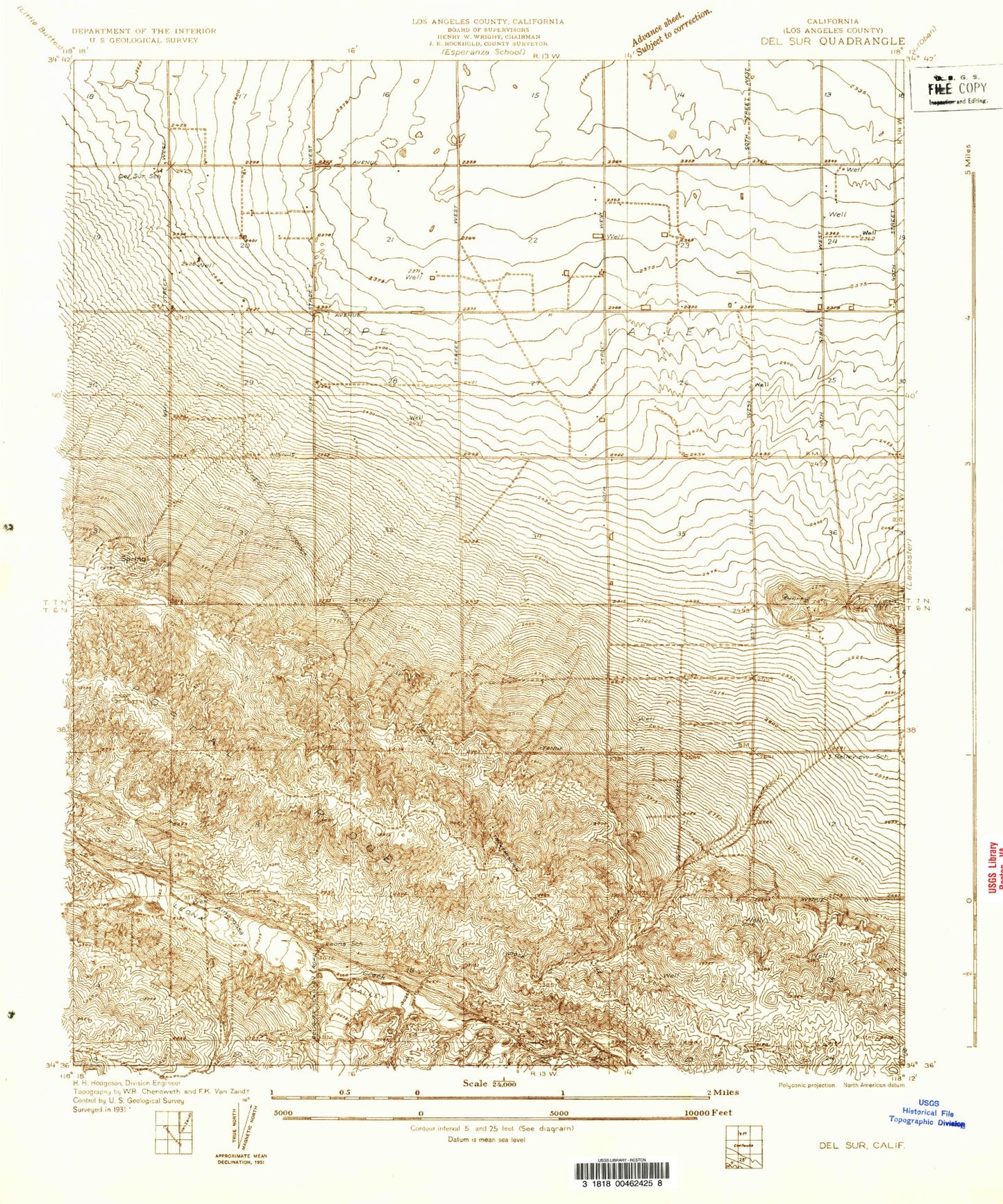
Classic USGS Del Sur California 7.5'x7.5' Topo Map
Couldn't load pickup availability
Historical USGS topographic quad map of Del Sur in the state of California. Map scale may vary for some years, but is generally around 1:24,000. Print size is approximately 24" x 27"
This quadrangle is in the following counties: Los Angeles.
The map contains contour lines, roads, rivers, towns, and lakes. Printed on high-quality waterproof paper with UV fade-resistant inks, and shipped rolled.
Contains the following named places: Antelope Substation, Bohunk's Airpark, Cochems Ranch, Del Sur, Del Sur Senior Elementary School, Eric Munz Ranch, Esperanza School, Foothill Ranch, Governor Edmund G Brown East Branch California Aqueduct, Johnson Siphon, Johnson Summit, Leona Valley Ranch, Myrick Canyon, Pitchfork Ranch, Railroad Canyon, University of California Agricultural Field, Valley View Ranch, Willow Springs Canyon, ZIP Code: 93536