MyTopo
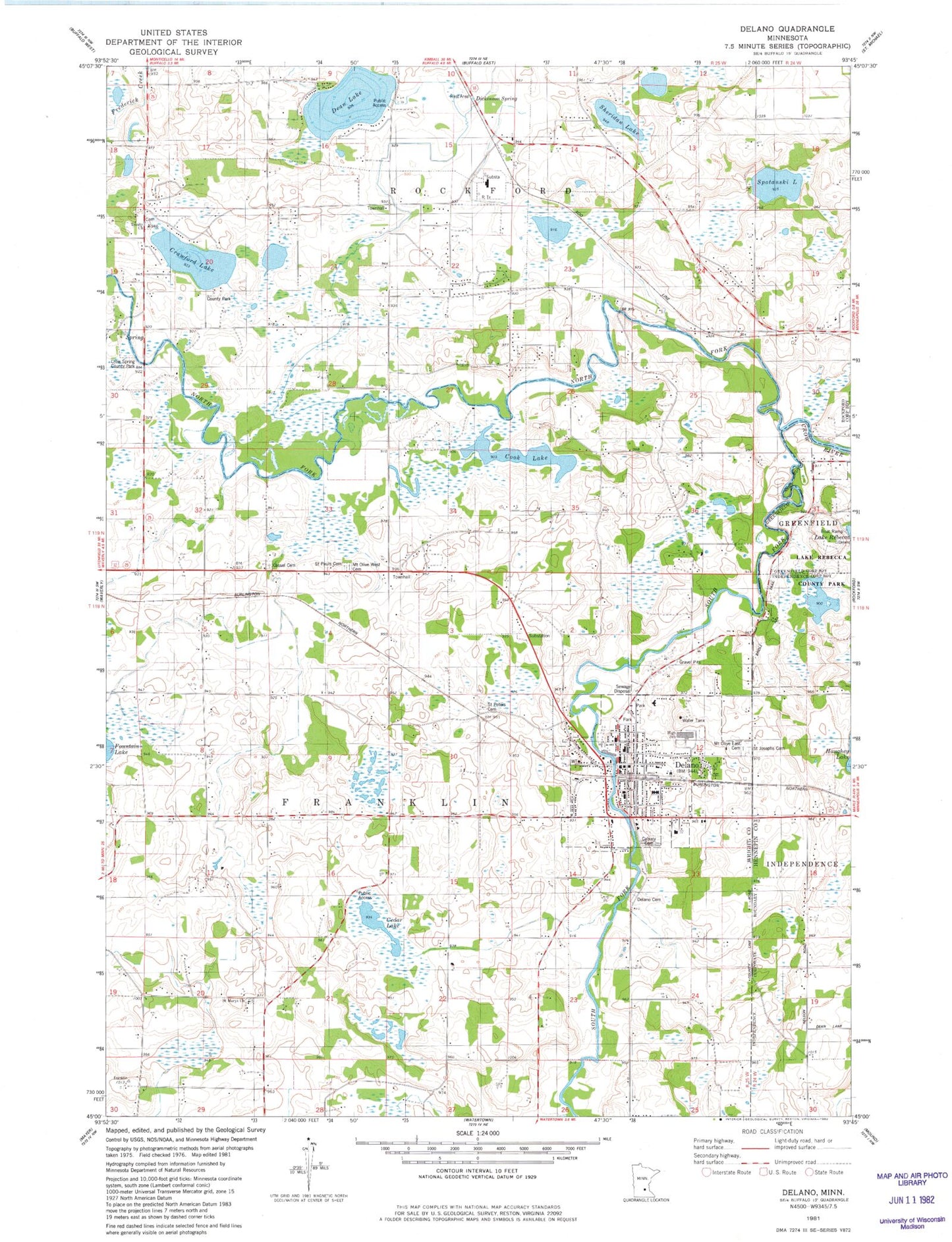
Classic USGS Delano Minnesota 7.5'x7.5' Topo Map
Couldn't load pickup availability
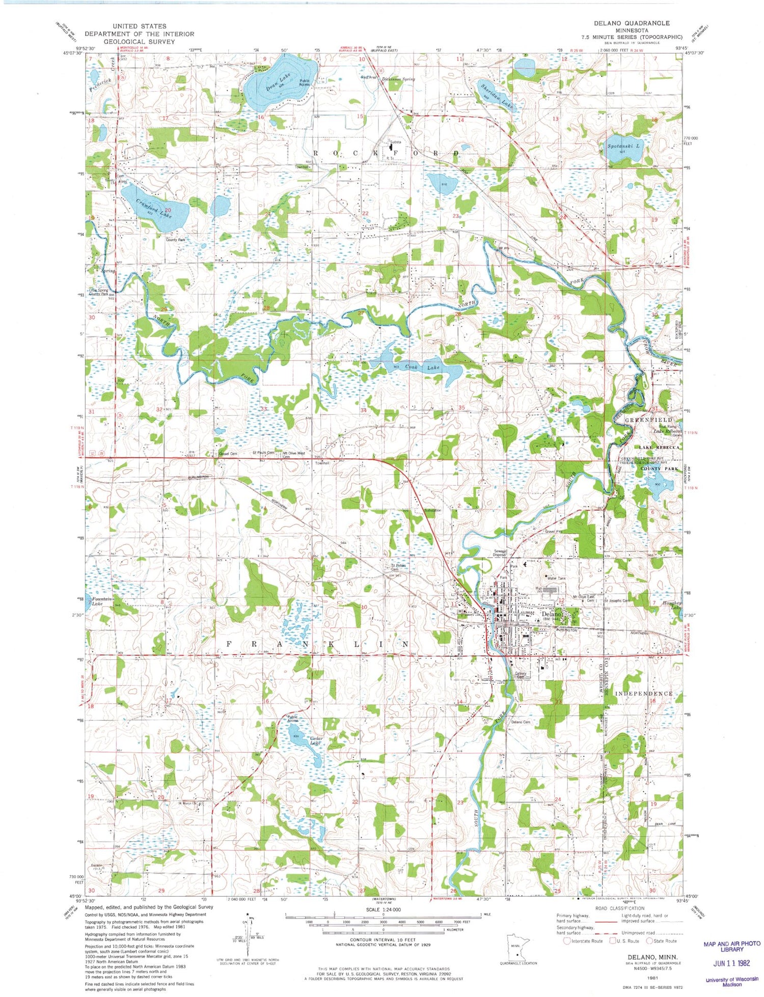
Historical USGS topographic quad map of Delano in the state of Minnesota. Map scale may vary for some years, but is generally around 1:24,000. Print size is approximately 24" x 27"
This quadrangle is in the following counties: Hennepin, Wright.
The map contains contour lines, roads, rivers, towns, and lakes. Printed on high-quality waterproof paper with UV fade-resistant inks, and shipped rolled.
Contains the following named places: Adickes School, Apple Jack Orchards, Brandt Airport, Calvary Cemetery, Cassel Cemetery, Cedar Lake, City of Delano, Cook Lake, Crawford Lake, Crawford Lake School, Crow Spring County Park, Dean Lake, Delano, Delano Assembly of God Church, Delano Cemetery, Delano City Hall, Delano Elementary School, Delano Evangelical Free Church, Delano Fire Department, Delano Healthcare Center, Delano High School, Delano Library, Delano Middle School, Delano Post Office, Dickenson Spring Wayside Park, Dickinson Spring, Dixon School, Hilltop School, Light of Christ Lutheran Church, Mount Olive Lutheran Church, Mount Olive Lutheran East Cemetery, Mount Olive Lutheran School, Mount Olive Lutheran West Cemetery, North Fork Crow River, Old Saint Peters Cemetery, Our Father's Lutheran Church, Ridgeview Delano Clinic, Saint Joseph Catholic Church, Saint Josephs Cemetery, Saint Marys Church, Saint Pauls Cemetery, Saint Paul's United Church of Christ, Saint Peter Catholic Church, Saint Peters - Calvary Cemetery, Saint Peter's School, School Number 48, Sheridan Lake, South Fork Crow River, Southfork Recreational Park, Spotanski Lake, Township of Franklin, Township of Rockford, Trinity Cemetery, United Methodist Church, ZIP Code: 55328


