MyTopo
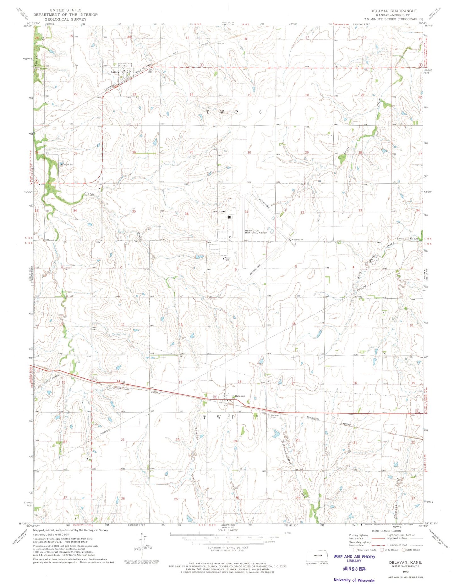
Classic USGS Delavan Kansas 7.5'x7.5' Topo Map
Couldn't load pickup availability
Historical USGS topographic quad map of Delavan in the state of Kansas. Map scale may vary for some years, but is generally around 1:24,000. Print size is approximately 24" x 27"
This quadrangle is in the following counties: Morris.
The map contains contour lines, roads, rivers, towns, and lakes. Printed on high-quality waterproof paper with UV fade-resistant inks, and shipped rolled.
Contains the following named places: City of Herington, City of Latimer, Delavan, Delavan Cemetery, Grandview Fire District 5 Delavan Station, Herington Army Air Field, Herington Regional Airport, Kasten Farms, Kniebel Farms, Latimer, Santa Fe Farms, Township 6, Township 7, Township of Highland, Two R Farms, Wendt Farm, Wittman Farm, Zion Lutheran Church