MyTopo
Classic USGS Delaware Michigan 7.5'x7.5' Topo Map
Couldn't load pickup availability
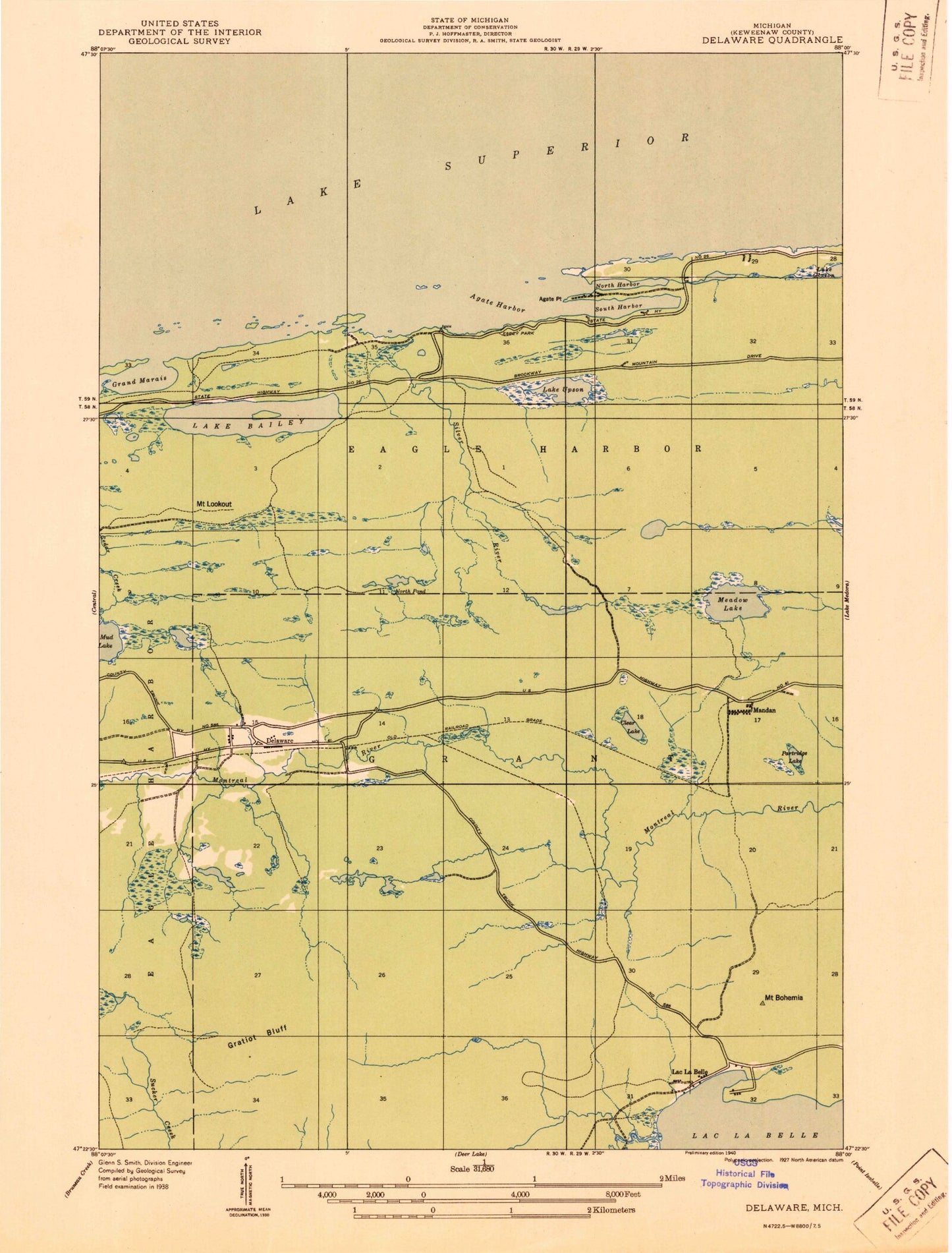
Historical USGS topographic quad map of Delaware in the state of Michigan. Map scale may vary for some years, but is generally around 1:24,000. Print size is approximately 24" x 27"
This quadrangle is in the following counties: Keweenaw.
The map contains contour lines, roads, rivers, towns, and lakes. Printed on high-quality waterproof paper with UV fade-resistant inks, and shipped rolled.
Contains the following named places: Agate Harbor, Agate Point, Bailey Creek, Bailey Pond, Clear Lake, Delaware, Esrey Park, Farlow Creek, Grand Marais Harbor, Gratiot Mountain, Gull Lake, Haven Creek, Haven Falls, Haven Park, Lac La Belle, Lac La Belle Fire Department, Lac La Belle Marina, Lac La Belle Resort, Lake Bailey, Lake Upson, Little Gratiot River, Mandan, Mandan Post Office, Mandan Station, Meadow Lake, Mount Bohemia, Mount Bohemia Ski Area, Mount Lookout, Mud Lake, North Bay, North Pond, Partridge Lake, Silver River, Silver River Falls, South Bay, Upson Creek, Wyoming