MyTopo
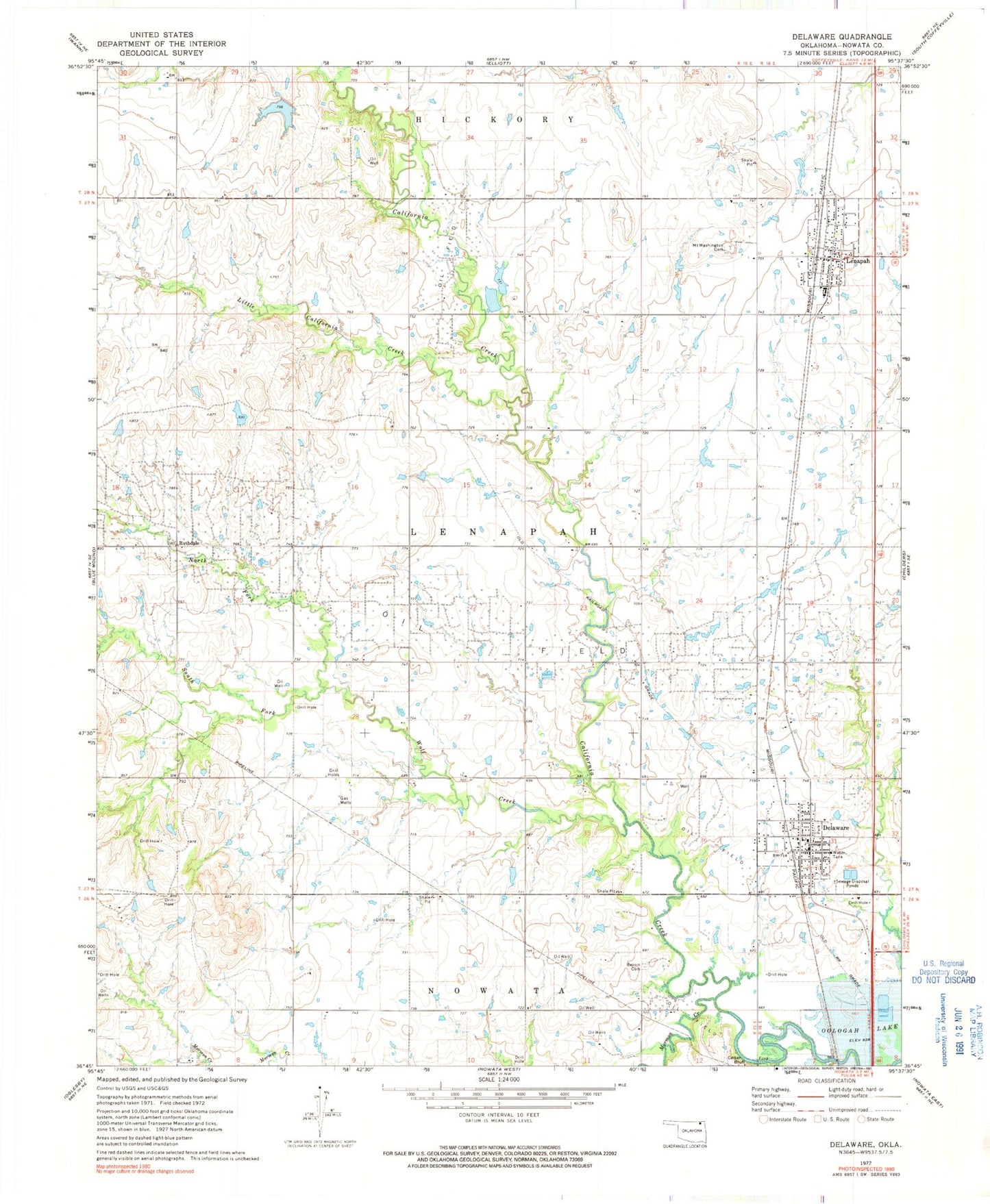
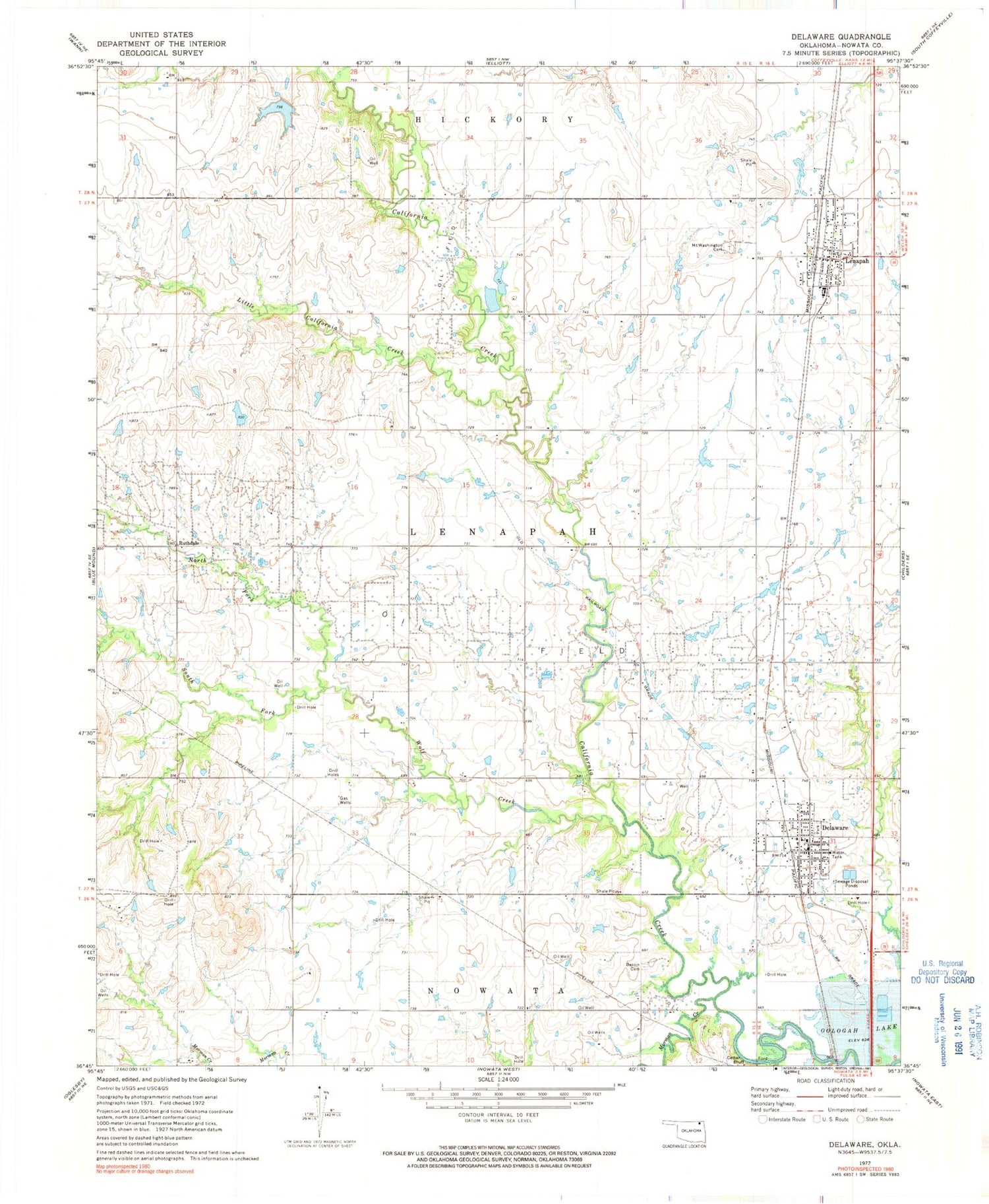
Classic USGS Delaware Oklahoma 7.5'x7.5' Topo Map
Couldn't load pickup availability
Historical USGS topographic quad map of Delaware in the state of Oklahoma. Map scale may vary for some years, but is generally around 1:24,000. Print size is approximately 24" x 27"
This quadrangle is in the following counties: Nowata.
The map contains contour lines, roads, rivers, towns, and lakes. Printed on high-quality waterproof paper with UV fade-resistant inks, and shipped rolled.
Contains the following named places: Bezoin Cemetery, Cedar Bluff, Delaware, Delaware Fire Department, Delaware Post Office, Glenn Webster Dam, Glenn Webster Reservoir, Lenapah, Lenapah Fire Department, Lenapah Post Office, Little California Creek, Mormon Creek, Mount Washington Cemetery, North Fork Wolf Creek, Ruthdale, South Fork Wolf Creek, Town of Delaware, Town of Lenapah, Township of Lenapah, Wolf Creek