MyTopo
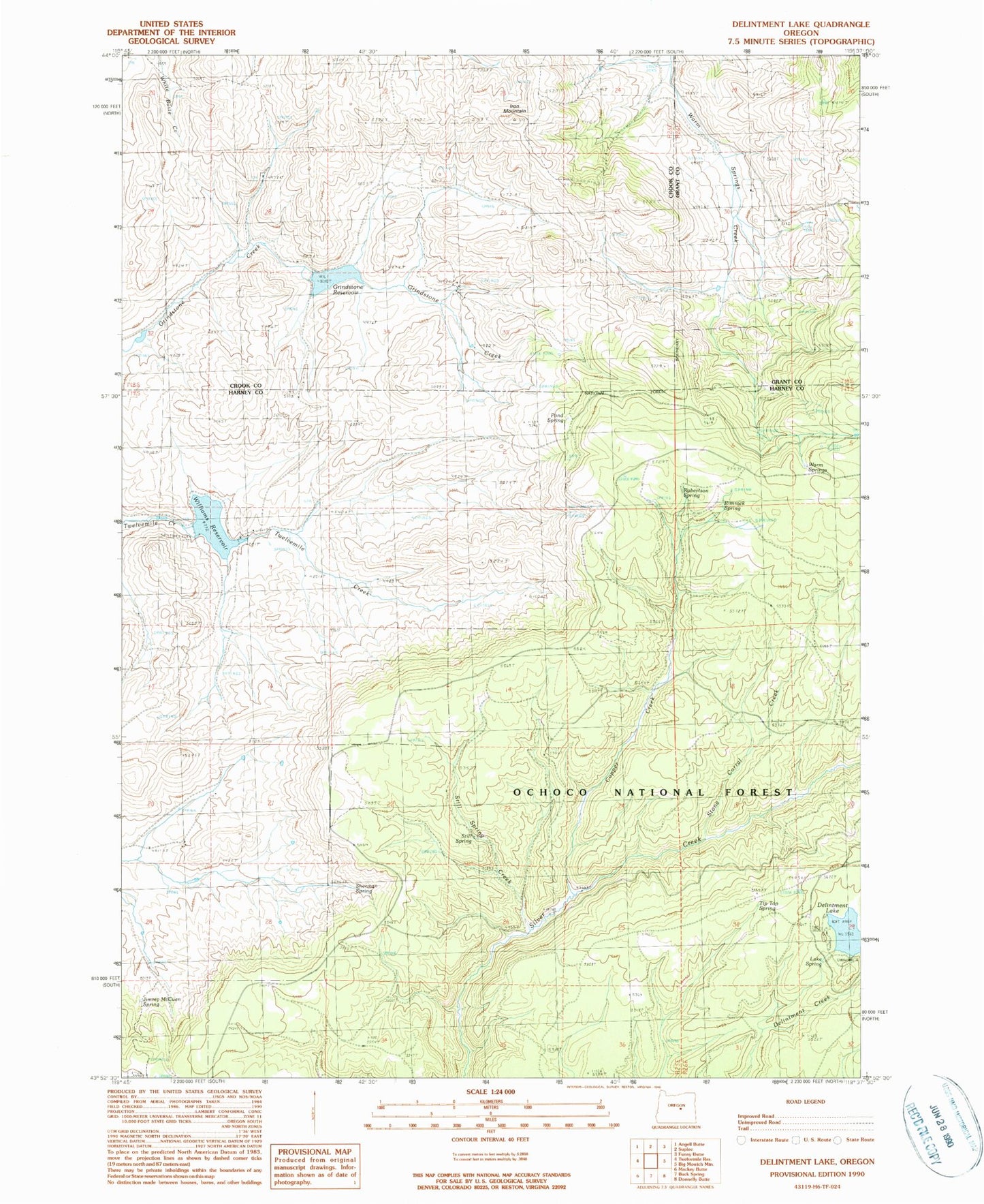
Classic USGS Delintment Lake Oregon 7.5'x7.5' Topo Map
Couldn't load pickup availability
Historical USGS topographic quad map of Delintment Lake in the state of Oregon. Map scale may vary for some years, but is generally around 1:24,000. Print size is approximately 24" x 27"
This quadrangle is in the following counties: Crook, Grant, Harney.
The map contains contour lines, roads, rivers, towns, and lakes. Printed on high-quality waterproof paper with UV fade-resistant inks, and shipped rolled.
Contains the following named places: Colia Post Office, Copper Creek, Delintment Lake, Delintment Lake Boat Ramp, Delintment Lake Dam, Delintment Lake Recreation Site, Grindstone Dam, Grindstone Reservoir, Iron Mountain, Jimmy McCuen Spring, Lake Spring, Mills Upper Ranch, Pond Spring, Rimrock Spring, Robertson Spring, Sherman Ranch, Sherman Spring, Still Spring, Still Spring Creek, Stone Corral Creek, Tip Top Spring, Twelvemile Dam, Upper Sherman Ranch, Warm Springs, Williams Reservoir