MyTopo
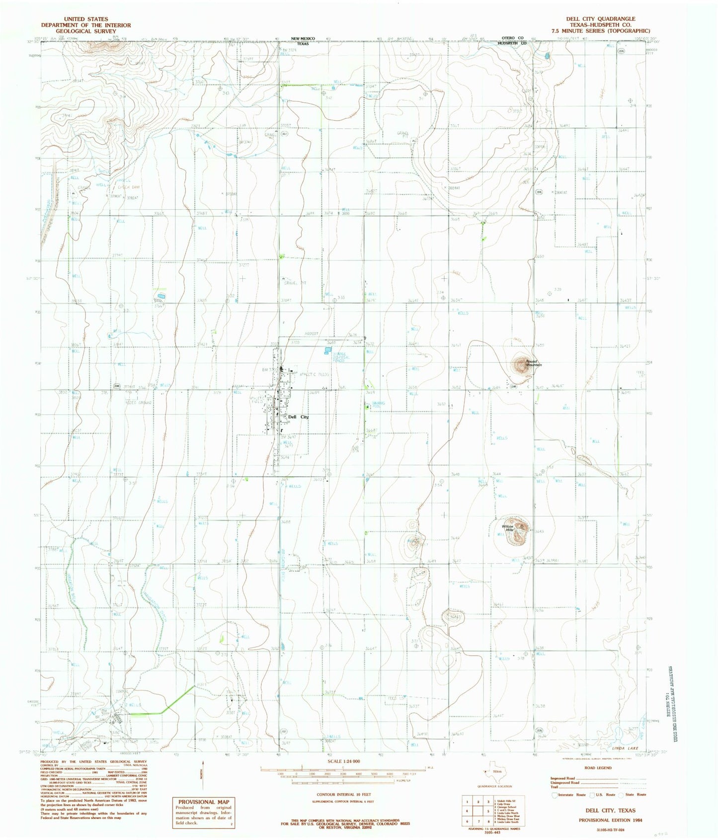
Classic USGS Dell City Texas 7.5'x7.5' Topo Map
Couldn't load pickup availability
Historical USGS topographic quad map of Dell City in the state of Texas. Map scale may vary for some years, but is generally around 1:24,000. Print size is approximately 24" x 27"
This quadrangle is in the following counties: Hudspeth.
The map contains contour lines, roads, rivers, towns, and lakes. Printed on high-quality waterproof paper with UV fade-resistant inks, and shipped rolled.
Contains the following named places: Brownfeld Corner, City of Dell City, Dell City, Dell City City Hall, Dell City Heliport, Dell City Municipal Airport, Dell City Post Office, Hudspeth County Constable's Office Precinct 4, Hudspeth County Sheriff's Office Substation, List Ranch, Lynch Ranch, Round Mountain, TC Ranch, Wilcox Hills