MyTopo
Classic USGS Dellahunt Draw East Texas 7.5'x7.5' Topo Map
Regular price
$16.95
Regular price
Sale price
$16.95
Unit price
per
Couldn't load pickup availability
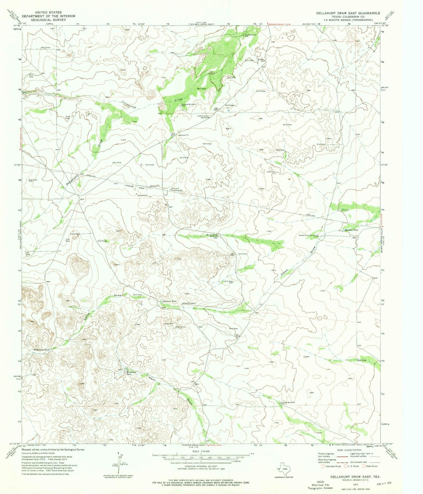
Historical USGS topographic quad map of Dellahunt Draw East in the state of Texas. Map scale may vary for some years, but is generally around 1:24,000. Print size is approximately 24" x 27"
This quadrangle is in the following counties: Culberson.
The map contains contour lines, roads, rivers, towns, and lakes. Printed on high-quality waterproof paper with UV fade-resistant inks, and shipped rolled.
Contains the following named places: Dellahunt Draw, Division Tank, Division Windmill, Grisham Pumping Station, Gulf Windmill, Henderson Tank, Humphrey Tank, Little Sulphur Windmill, McCutchum Windmill, Mendoza Tank, Orchard Windmill, Red Tank, Road Windmill, Sheep Camp Windmill