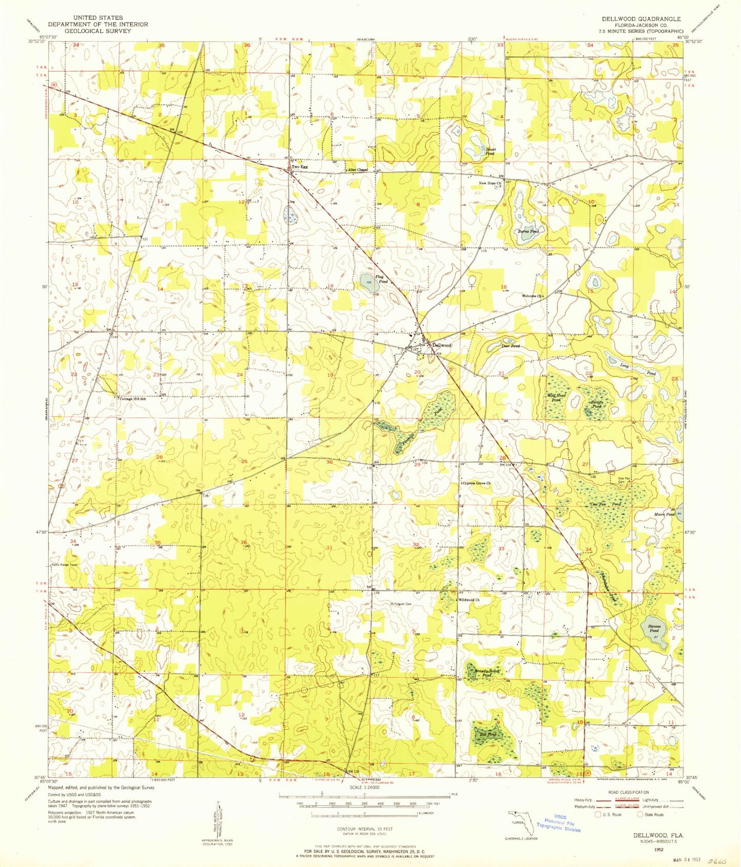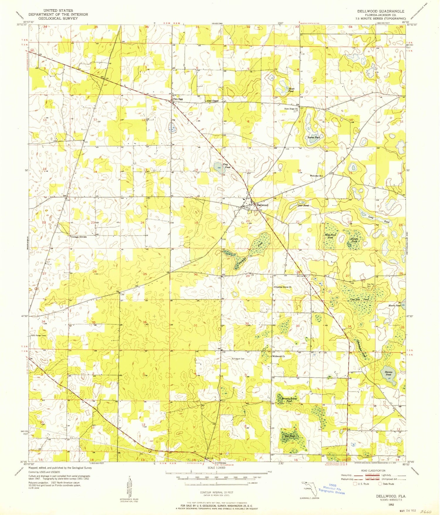
MyTopo
Classic USGS Dellwood Florida 7.5'x7.5' Topo Map
Couldn't load pickup availability
Historical USGS topographic quad map of Dellwood in the state of Florida. Map scale may vary for some years, but is generally around 1:24,000. Print size is approximately 24" x 27"
This quadrangle is in the following counties: Jackson.
The map contains contour lines, roads, rivers, towns, and lakes. Printed on high-quality waterproof paper with UV fade-resistant inks, and shipped rolled.
Contains the following named places: Allen Chapel, Bateau Pond, Brandy Beach Pond, Burns Pond, Cottage Hill Church, Cottage Hill School, Cow Pen Cemetery, Cow Pen Pond, Cypress Grove Church, Deer Pond, Dellwood, Dellwood Volunteer Fire Department, Fivemile Pond, Flag Pond, Fulgum Cemetery, Greenwood Division, Long Pond, New Hope Church, Newcumber Pond, Rat Pond, Stevens Pond, Sweet Pond, Two Egg, Welcome Church, Wildwood Church, Wolf Head Pond, ZIP Code: 32443