MyTopo
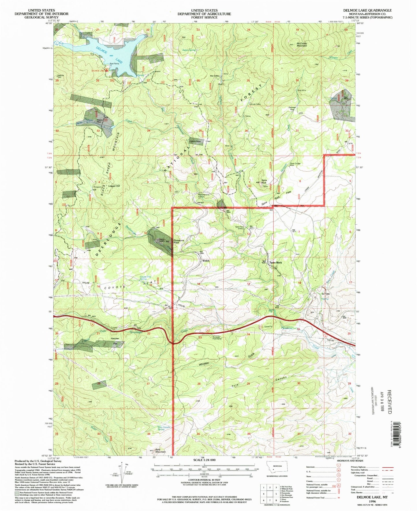
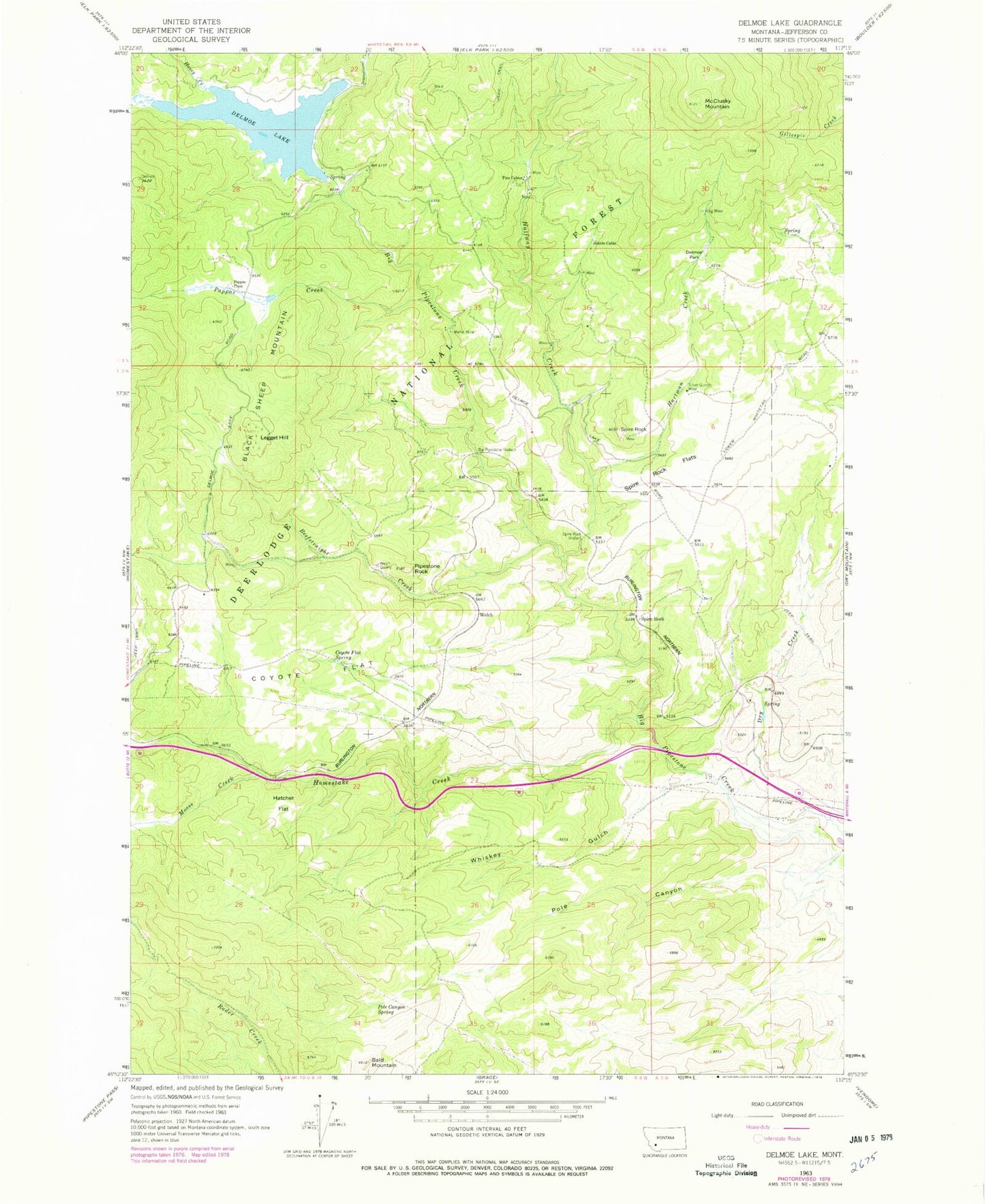
Classic USGS Delmoe Lake Montana 7.5'x7.5' Topo Map
Couldn't load pickup availability
Historical USGS topographic quad map of Delmoe Lake in the state of Montana. Map scale may vary for some years, but is generally around 1:24,000. Print size is approximately 24" x 27"
This quadrangle is in the following counties: Jefferson.
The map contains contour lines, roads, rivers, towns, and lakes. Printed on high-quality waterproof paper with UV fade-resistant inks, and shipped rolled.
Contains the following named places: Alice, Bald Mountain, Beef Straight, Beefstraight Creek, Big Chief Mine, Big Pipestone Viaduct, Black Sheep Mountain, Coyote Flat, Coyote Flat Spring, Delmoe Campground, Delmoe Lake, Delmoe Lake Dam, Delmoe Park, Dry Creek, Finn Cabin Mine, Finn Cabins, Halfway Creek, Haney Creek, Hartman Creek, Hatcher Flat, Homestake Creek, Humbolt Mine, International Creek, King Mine, Legget Hill, Legget Hill Mine, Lumber Spur, Marsh Mine, McClusky Mountain, Mikels, Moose Creek, NE NW Section 36 Mine, NE SW Section 36 Mine, NE SW Section 9 Mine, Omsons Spur, O'Neil Creek, Pappas Creek, Pappas Place, Paul Place, Pipestone Rock, Pole Canyon, Pole Canyon Spring, SE SE Section 18 Mine, SE SW Section 5 Mine, Silver Queen Mine, Spire Rock, Spire Rock Flats, Spire Rock Mine, Spire Rock Viaduct, Suicide Cabin, Suicide Cabin Mine, SW SE Section 18 Mine, SW SW Section 36 Mine, SW SW Section 9 Mine, Welch, Welch Post Office, Welch Quarry, Whiskey Gulch


