MyTopo
Classic USGS Deloit Nebraska 7.5'x7.5' Topo Map
Regular price
$16.95
Regular price
Sale price
$16.95
Unit price
per
Couldn't load pickup availability
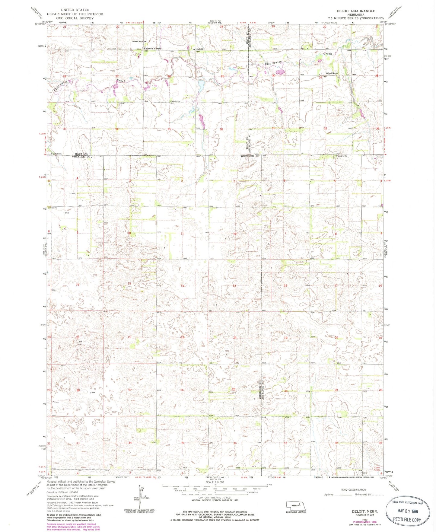
Historical USGS topographic quad map of Deloit in the state of Nebraska. Map scale may vary for some years, but is generally around 1:24,000. Print size is approximately 24" x 27"
This quadrangle is in the following counties: Antelope, Holt, Wheeler.
The map contains contour lines, roads, rivers, towns, and lakes. Printed on high-quality waterproof paper with UV fade-resistant inks, and shipped rolled.
Contains the following named places: Deloit, Deloit Post Office, Deloit School, Fairview Church, Funk Dam, Funk Reservoir, Knievels Corner, School Number 100, School Number 103, School Number 60, Sehi Dam, Sehi Reservoir, Sunnybrook Public School, Twiss Dam, Twiss Reservoir, Wolf Cemetery