MyTopo
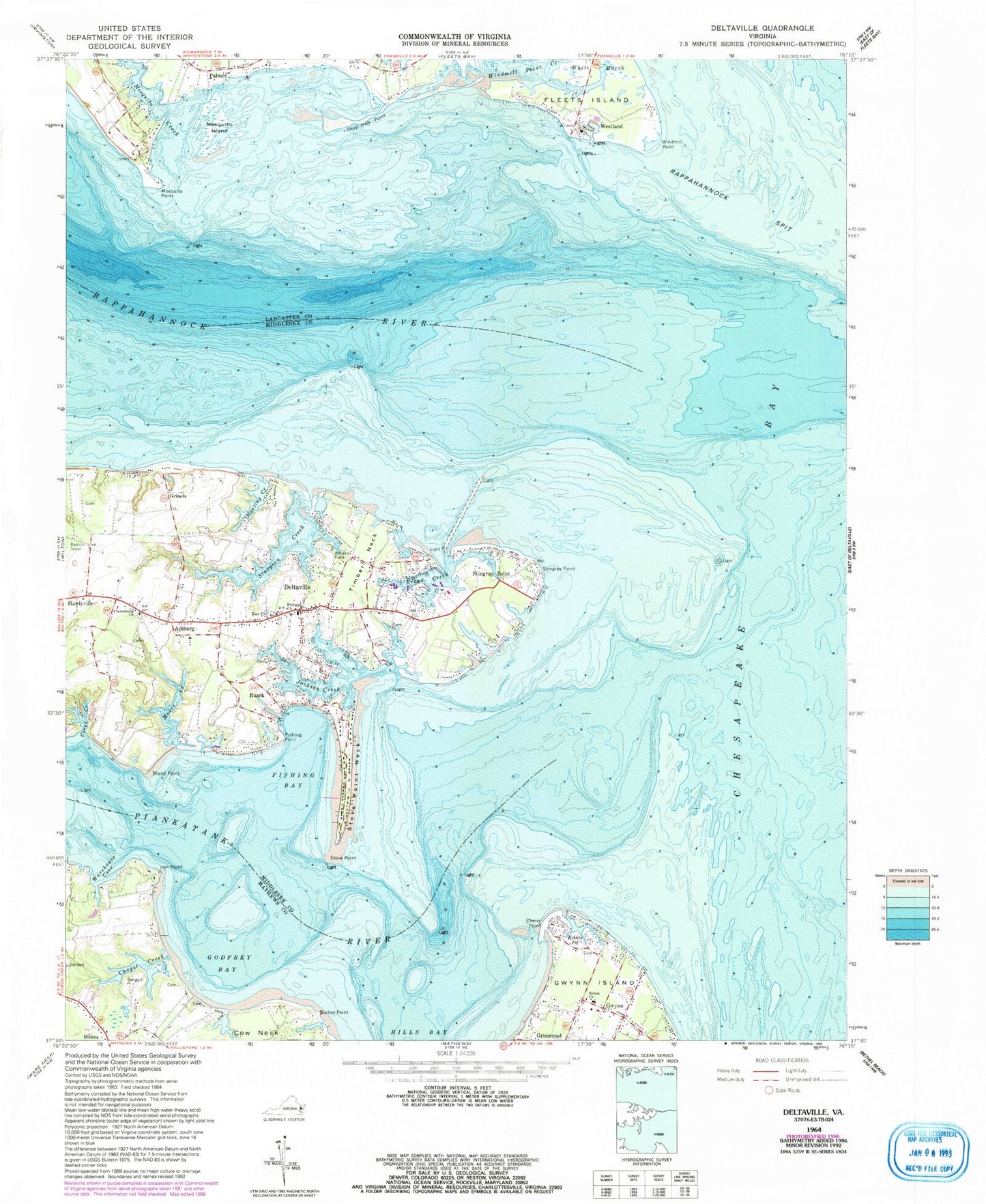
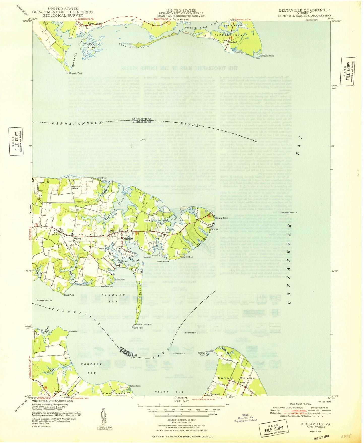
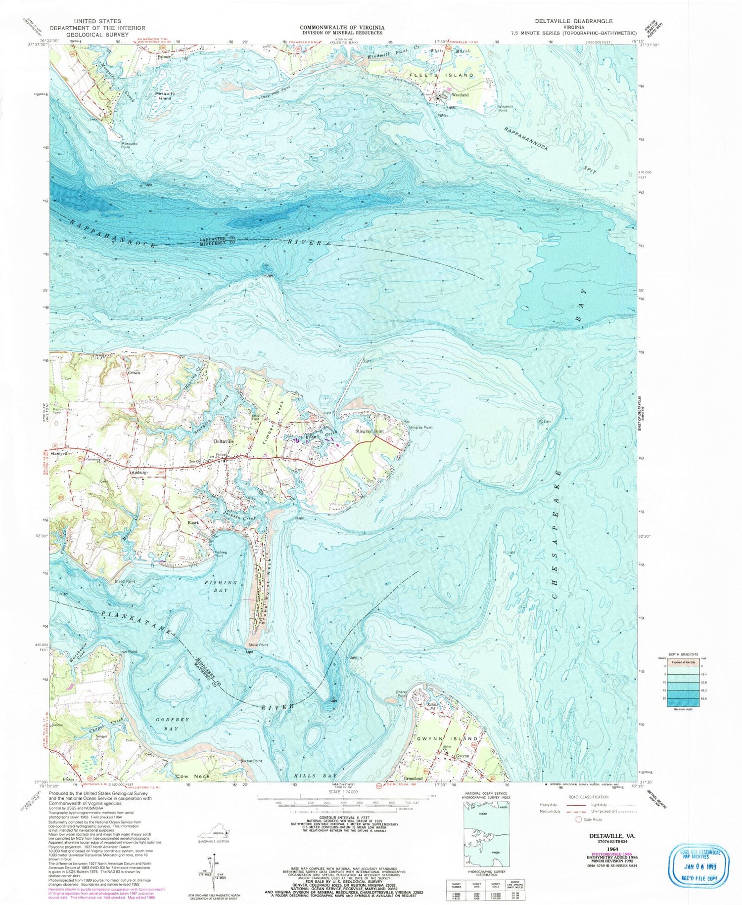
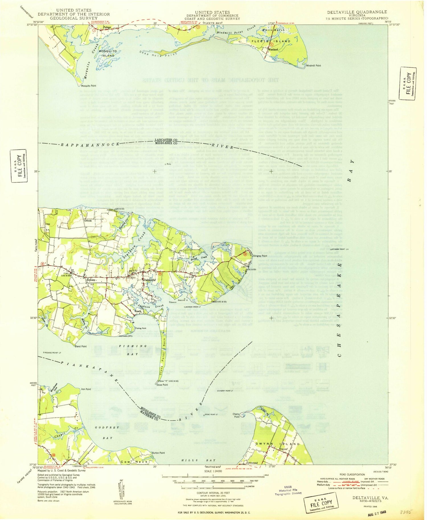
Classic USGS Deltaville Virginia 7.5'x7.5' Topo Map
Couldn't load pickup availability
Historical USGS topographic quad map of Deltaville in the state of Virginia. Typical map scale is 1:24,000, but may vary for certain years, if available. Print size: 24" x 27"
This quadrangle is in the following counties: Lancaster, Mathews, Middlesex.
The map contains contour lines, roads, rivers, towns, and lakes. Printed on high-quality waterproof paper with UV fade-resistant inks, and shipped rolled.
Contains the following named places: Amburg, Bland Point, Broad Creek, Burton Point, Chapel Creek, Cherry Point, Clarksburg Church, Cores Creek, Deep Hole Point, Fishing Bay, Fishing Point, Fleets Island, Godfrey Bay, Gwynn, Gwynn Island, Hardyville, Hunting Creek, Iron Point, Jackson Creek, Kibble Pond, Little Oyster Creek, Moore Creek, Mosquito Creek, Mosquito Island, Mosquito Point, Philippi Church, Piankatank River, Zoar Church, Shiloh Church, Stingray Point, Stingray Point, Stove Point, Stove Point Neck, Sturgeon Creek, Timber Neck, Warehouse Cove, White Marsh, Windmill Point, Windmill Point Creek, Grinels, Grinels Wharf, Rappahannock River, Rappahanncock Spit, Stingray Point, Deltaville, Grimstead, Palmer, Ruark, Westland, Gwynns Island Cemetery, Piankatank River Landing, Chesapeake Cove Marina, Club on Fishing Bay Marina, Jackson Creek Wharf, North End Wharf (historical), Norviews Landing, Georges Cove, Ships Hole, Windmill Point Landing, Sandy Bottom (historical), Stingray Point Post Office (historical), Pine Top District, Middlesex County Volunteer Rescue Squad, Mathews Volunteer Fire Department Station 3, Lower Middlesex Volunteer Fire Department, Piankatank Landing Boat Ramp, Windmill Point Boat Ramp, Fishing Bay Harbor Marina, Stingray Point Marina, Waldens Marina, Walters Marina, Windmill Point Yacht Harbor, Godfrey Bay Public Ramp, Norview Marina, Deltaville Marina, Windjammer Golf Course, Deltaville Census Designated Place, Deltaville Post Office, Grimstead Post Office, Gwynn Post Office


