MyTopo
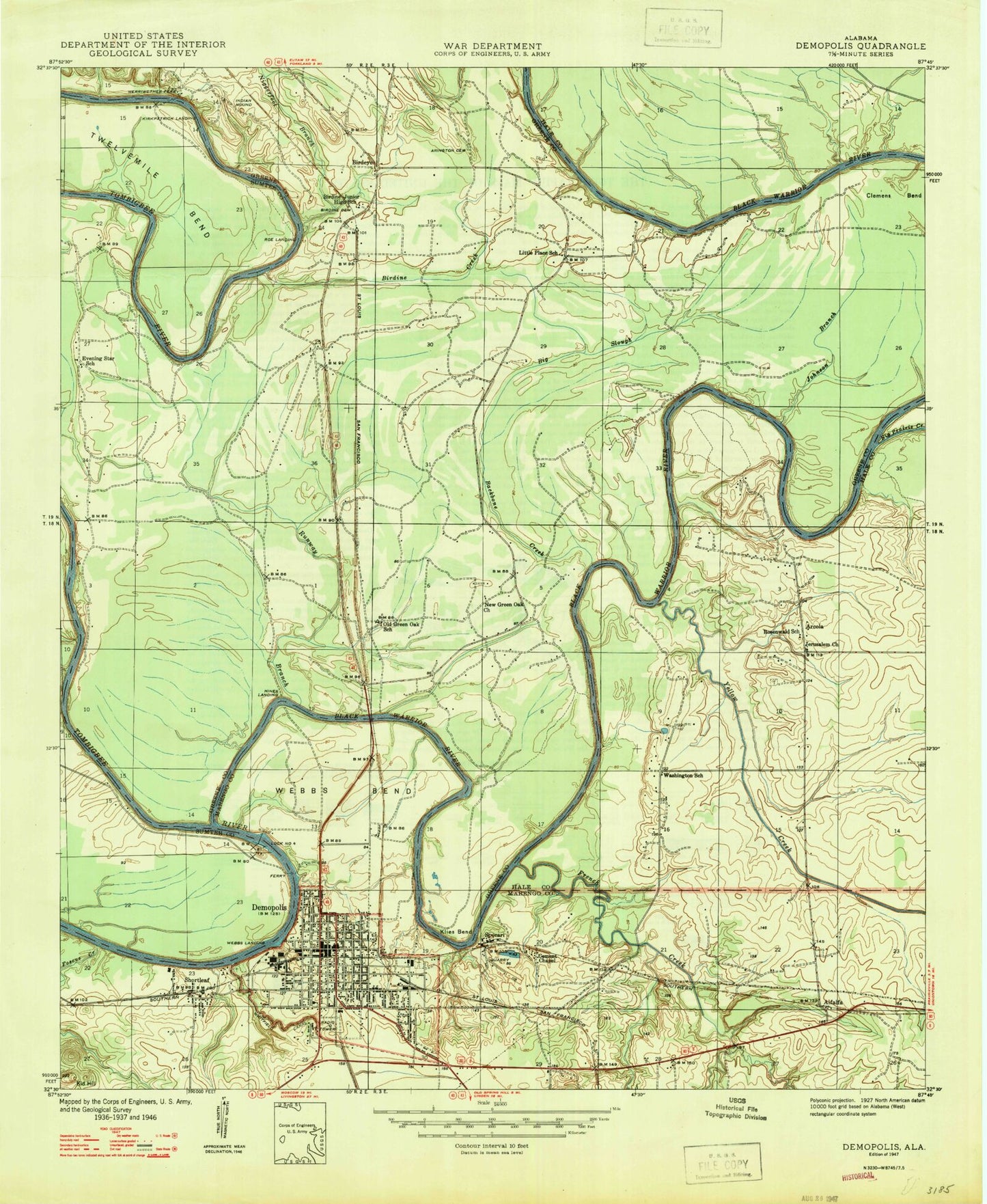
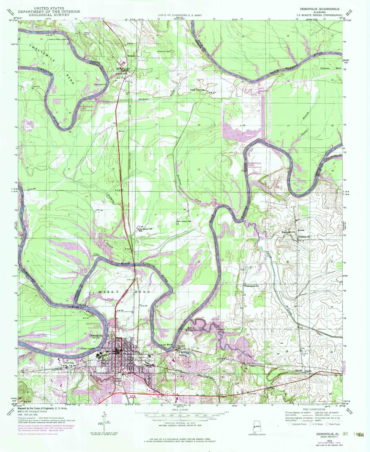
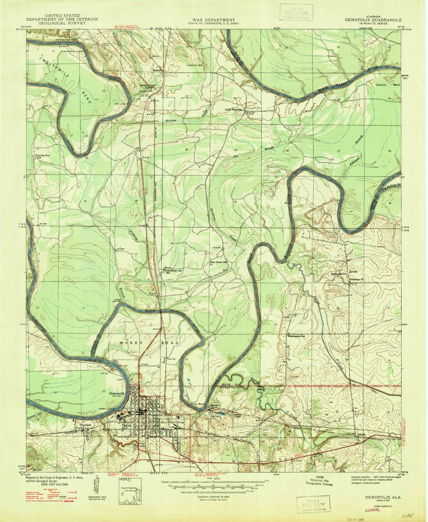
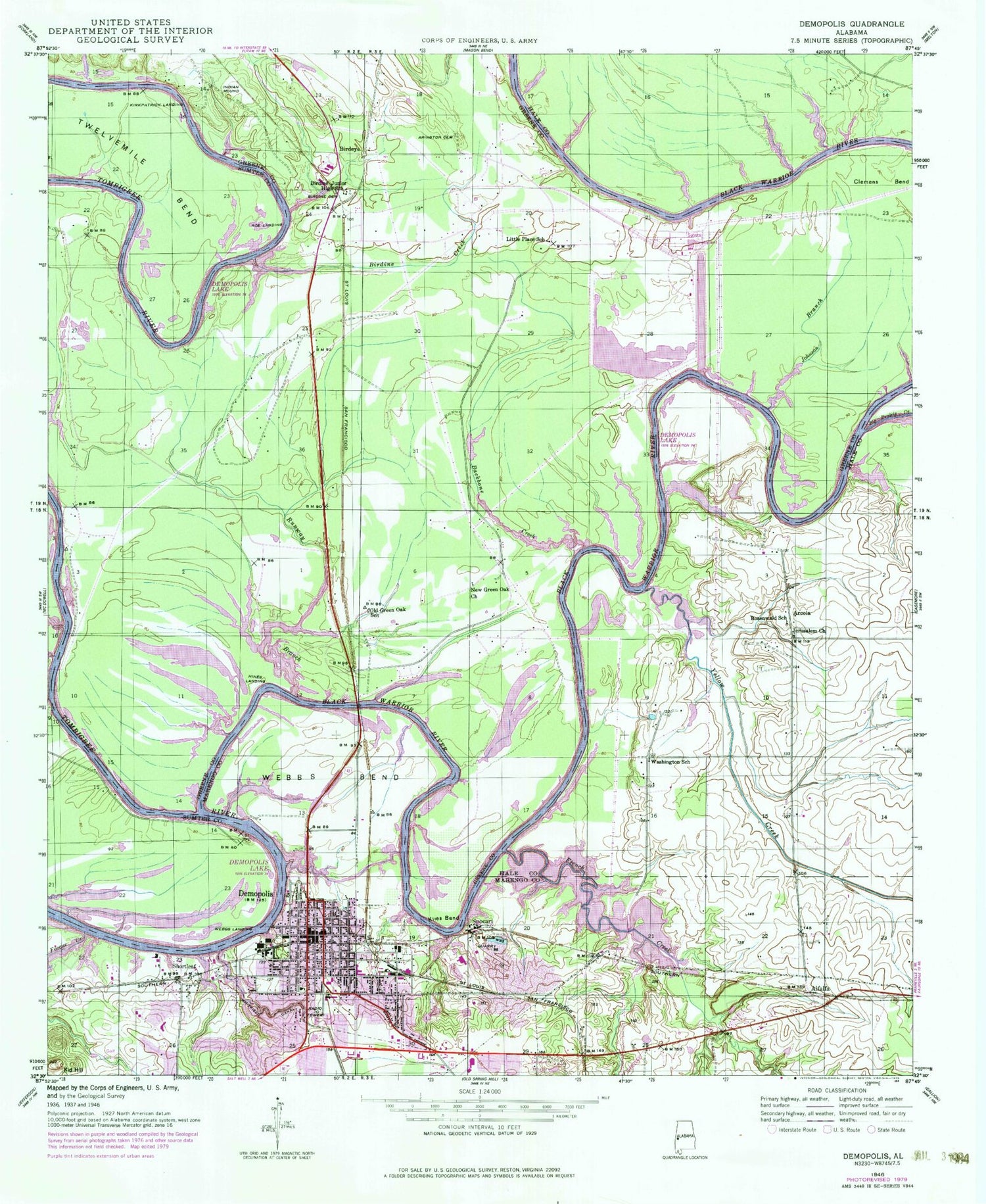
Classic USGS Demopolis Alabama 7.5'x7.5' Topo Map
Couldn't load pickup availability
Historical USGS topographic quad map of Demopolis in the state of Alabama. Map scale may vary for some years, but is generally around 1:24,000. Print size is approximately 24" x 27"
This quadrangle is in the following counties: Greene, Hale, Marengo, Sumter.
The map contains contour lines, roads, rivers, towns, and lakes. Printed on high-quality waterproof paper with UV fade-resistant inks, and shipped rolled.
Contains the following named places: Alfalfa, Arcola, Arcola Ferry, Arcola Public Use Area, Arcola School, Arington Cemetery, Backbone Branch Public Area, Backbone Creek, Backbone Park, Baggers Ferry, Baptist Hill, Beach Ridge, Big Prairie Creek, Big Slough, Birdeye, Birdine Bar, Birdine Cemetery, Birdine Church, Birdine Creek, Birdine Junior High School, Black Warrior River, Bluff Hall, Bordens Mill, Brown Ridge Slough, Bryan W Whitfield Memorial Hospital, Christian Baptist Chapel, Clemens Bend, Coles Bar, Demopolis, Demopolis Academy, Demopolis Access Area, Demopolis Botanical Gardens, Demopolis City Hall, Demopolis City Library, Demopolis Civic Center, Demopolis Country Club, Demopolis Country Club Dam, Demopolis Country Club Lake, Demopolis Fire Department Station 1, Demopolis Fire Department Station 2, Demopolis Fire Department Station 3, Demopolis High School, Demopolis Inland State Docks, Demopolis Lake, Demopolis Lower Landing, Demopolis Police Department, Demopolis Post Office, Demopolis Public Square, Demopolis Upper Landing, Demopolis Yacht Basin, Doctor Savages Hospital, Evening Star Church, Evening Star School, First Assembly of God Church, First Baptist Church, First Christian Church, First Presbyterian Church, First United Methodist Church, Foscue Creek, Foscue Creek Area, Foscue Park, French Creek, French Creek Public Use Area, Gadeous Bend, Gaineswood, Garners Ferry, Glovers Ferry, Green Oak Church, Greene County Steam Plant, Hancocks Bar, Haunted Point, Haunted Point Bar, Hines Landing, Jerusalem Cemetery, Jerusalem Church, Jerusalem School, Johnson Branch, Kaintuck Chute, Kid Hill, Kirkpatrick Landing, Kirkpatricks Shoals, Klies Bend, Knoxwood, Lamberths Mound, Lime Kiln Creek, Little Place School, Lock Four, Logan Cemetery, Logyard Shoals, Longer Cemetery, Marengo Military Academy, McGuilons Bar, Merryweathers Ferry, Morning Star Baptist Church, Negro Heel Bar, Negrofoot Branch, New Evening Star Cemetery, New Green Oak Baptist Church, New Green Oak Cemetery, New Morning Star Baptist Church, New Prospect Baptist Church, Old Green Oak Cemetery, Old Green Oak School, Prospect School, Reddicks Ferry, Rivers Bend Hunting Club, Riverside Cemetery, Rockcut, Roe Landing, Rosenwald School, Rowes Ferry, Runaway Branch Area Number 1, Runaway Branch Area Number 2, Runway Branch, Saint Leo Catholic Church, Shortleaf, Spocari, Taylors Bar, The Fork, The Rocks, Tindells Ferry, Trinity Episcopal Church, Tubbs Bar, US Jones Middle School, Washington School, Webbs Bend, Webbs Landing, Westside Elementary School, Whitfield Canal, WNAN-FM (Demopolis), WXAL-AM (Demopolis), Yellow Creek


