MyTopo
Classic USGS Dendron Virginia 7.5'x7.5' Topo Map
Couldn't load pickup availability
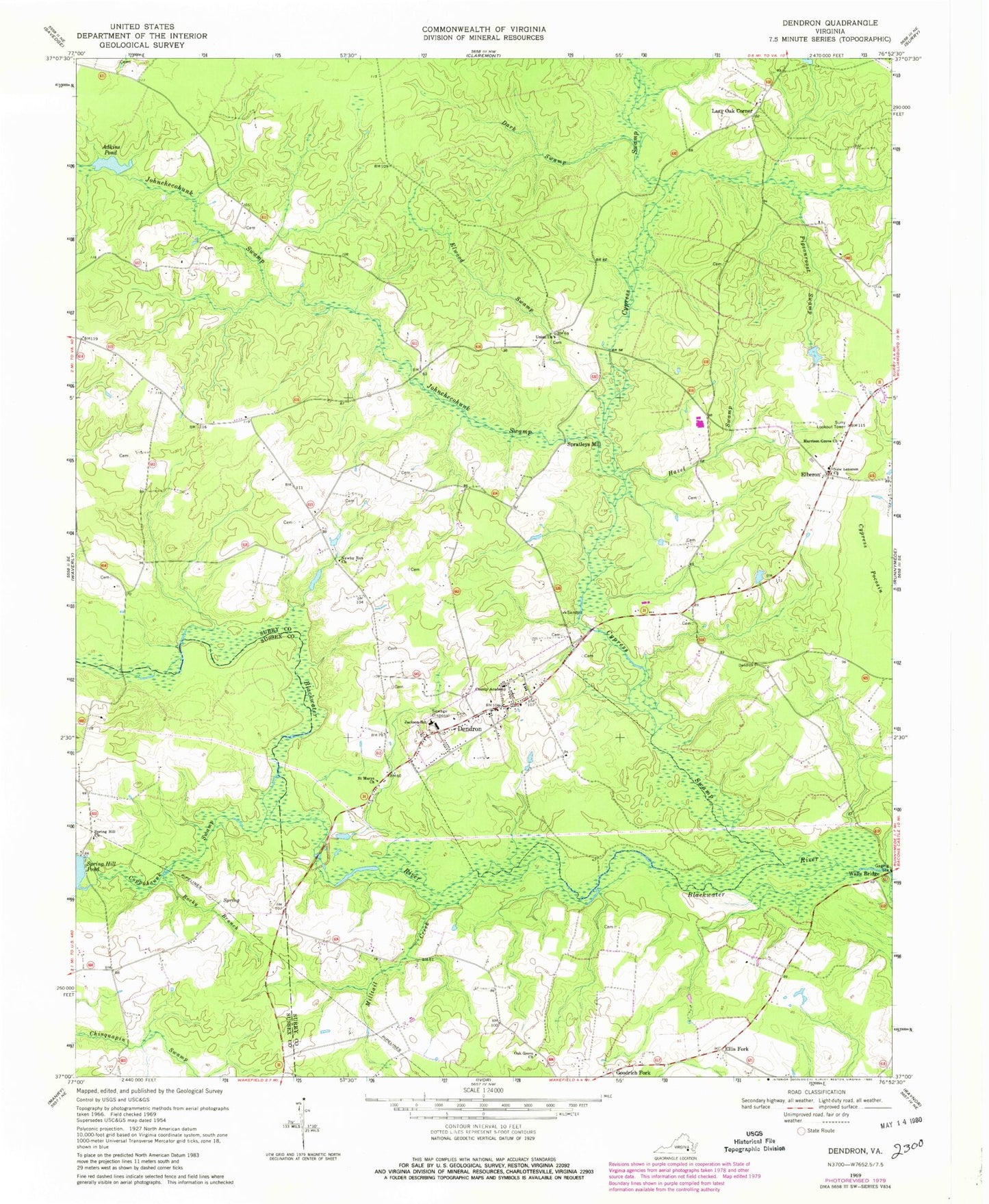
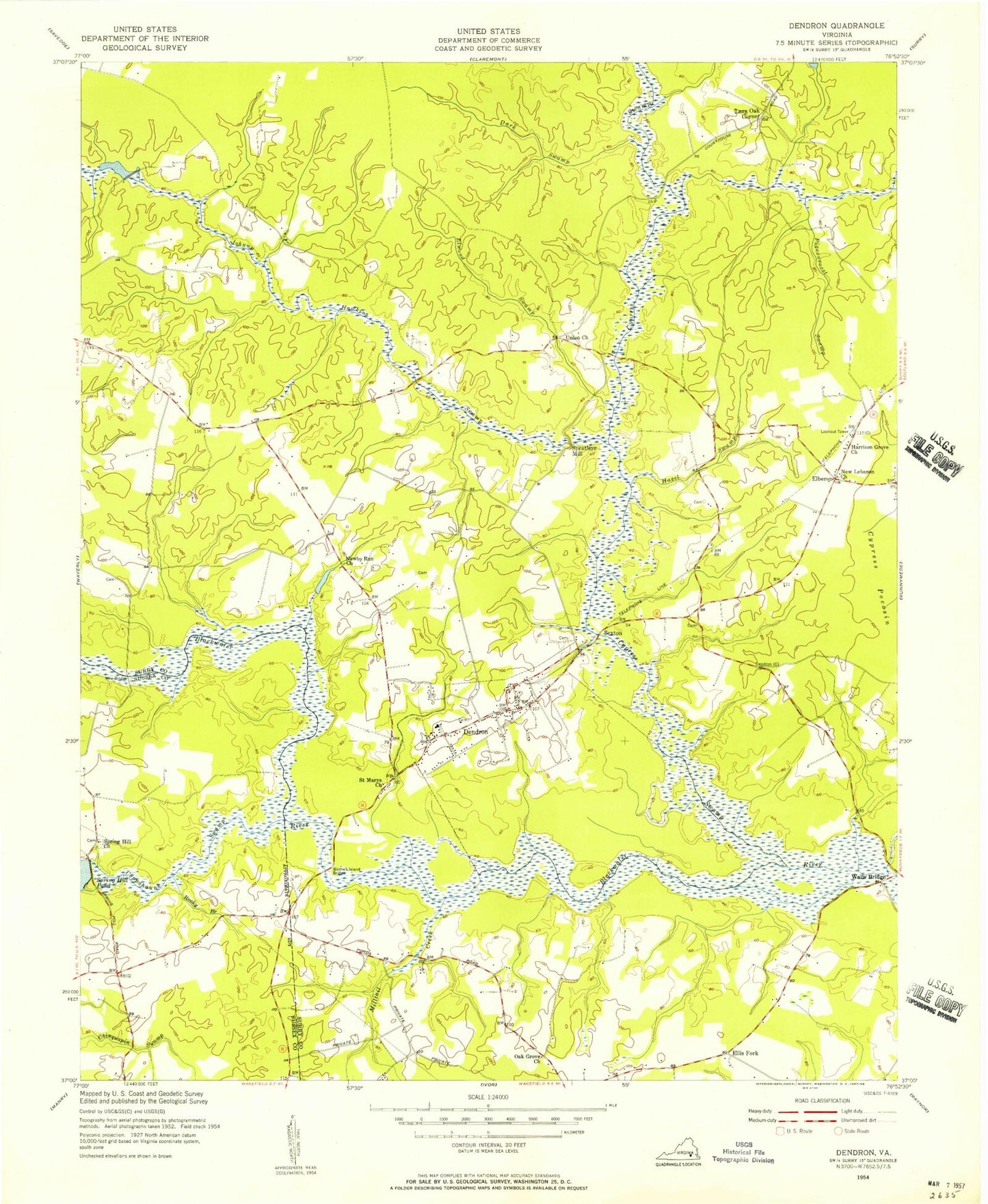
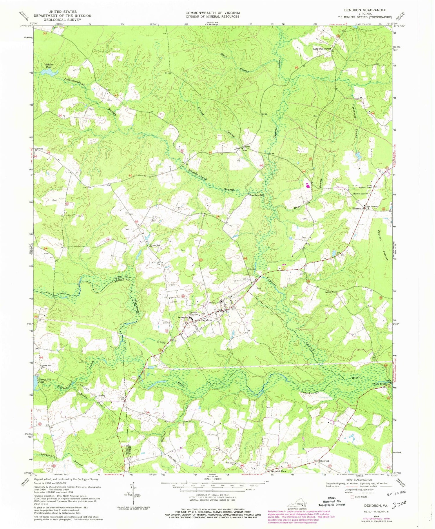
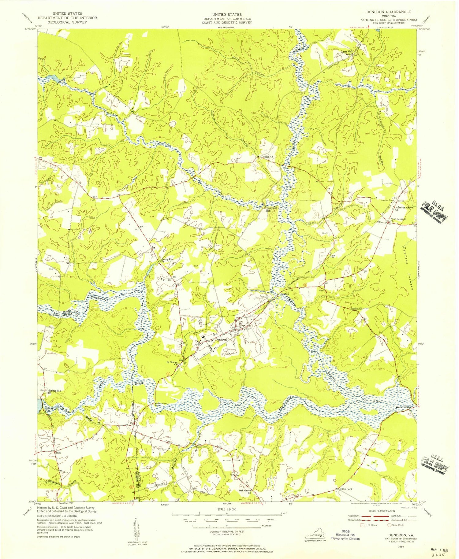
Historical USGS topographic quad map of Dendron in the state of Virginia. Map scale may vary for some years, but is generally around 1:24,000. Print size is approximately 24" x 27"
This quadrangle is in the following counties: Surry, Sussex.
The map contains contour lines, roads, rivers, towns, and lakes. Printed on high-quality waterproof paper with UV fade-resistant inks, and shipped rolled.
Contains the following named places: Atkins Dam, Atkins Pond, Birchen Island Bridge, Birdsongs Mill, Carsley District, Cedar Grove School, Coppahaunk Swamp, County Academy, Cypress Swamp, Dark Swamp, Dendron, Dendron District, Dendron Post Office, Dendron Volunteer Fire Department Surry County Station 2, Elberon, Ellis Fork, Elwood Swamp, Goodrich Fork, Harrison Grove Church, Hazel Swamp, Hazelbush School, Johnchecohunk Swamp, Lazy Oak Corner, Luther P Jackson Middle School, Milltail Creek, New Bridge, New Lebannon Church, Newby Run Church, Newby Run School, Oak Grove Church, Pigeonroost Swamp, Rocky Branch, Rough School, Saint Marys Church, Salisbury School, Sexton, Spratleys Mill, Spring Hill Church, Spring Hill Dam, Surry County, Surry County High School, Surry Elementary School, Surry Lookout Tower, Town of Dendron, Union Church, ZIP Code: 23839


