MyTopo
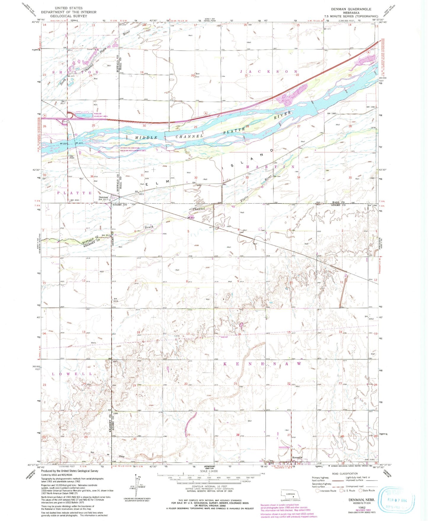
Classic USGS Denman Nebraska 7.5'x7.5' Topo Map
Couldn't load pickup availability
Historical USGS topographic quad map of Denman in the state of Nebraska. Map scale may vary for some years, but is generally around 1:24,000. Print size is approximately 24" x 27"
This quadrangle is in the following counties: Adams, Buffalo, Hall, Kearney.
The map contains contour lines, roads, rivers, towns, and lakes. Printed on high-quality waterproof paper with UV fade-resistant inks, and shipped rolled.
Contains the following named places: Denman, Denman Island State Wildlife Management Area, Denman Post Office, Denman School, Dry Creek, Hannon Federal Waterfowl Production Area, Martins Reach State Wildlife Management Area, School Number 1, School Number 37, Susan O Hail Grave Historical Marker, Township of Kenesaw, War Axe State Recreation Area, ZIP Code: 68956