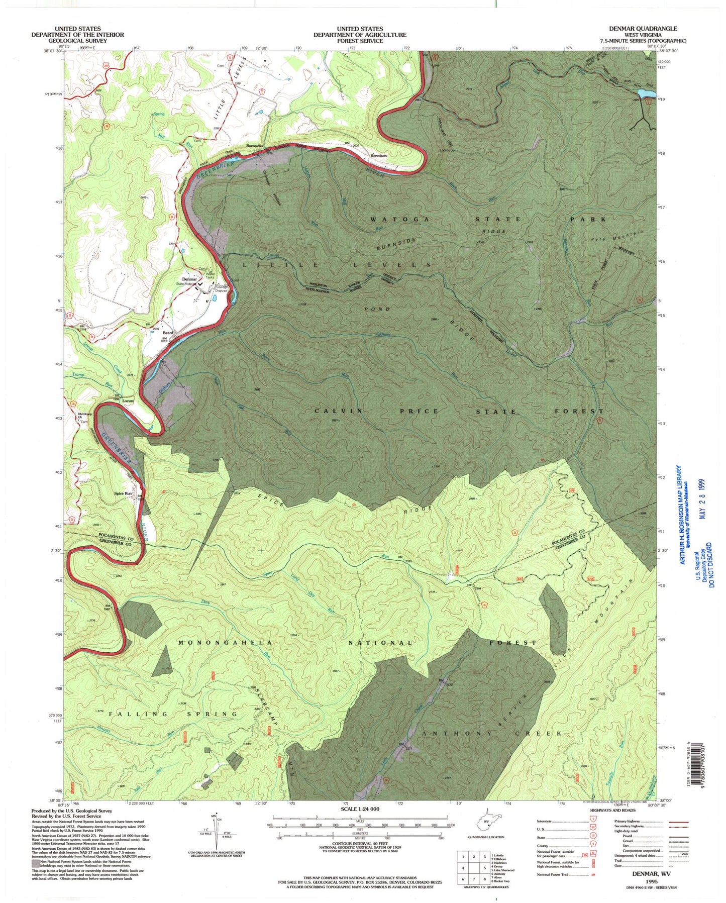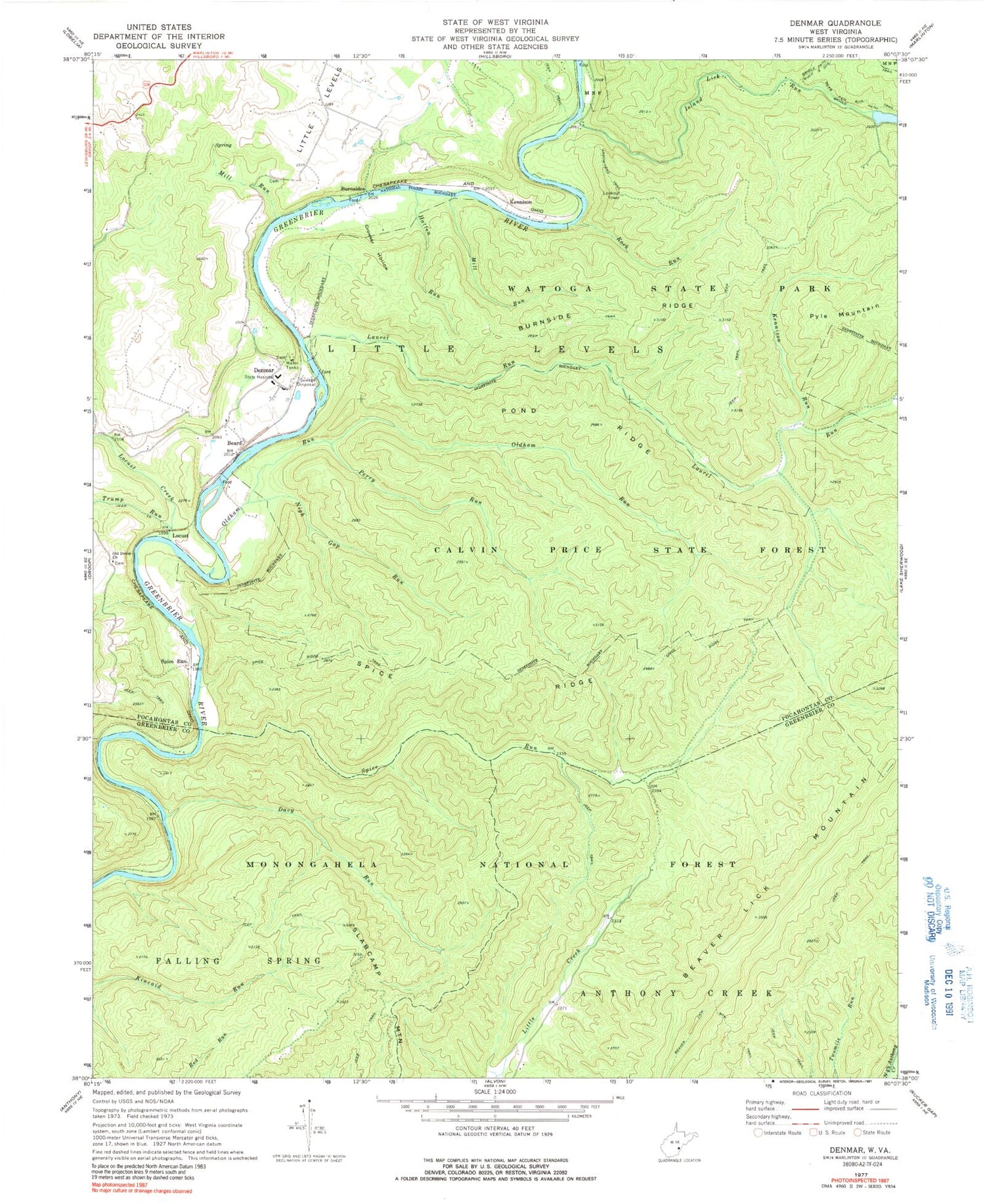
MyTopo
Classic USGS Denmar West Virginia 7.5'x7.5' Topo Map
Couldn't load pickup availability
Historical USGS topographic quad map of Denmar in the state of West Virginia. Typical map scale is 1:24,000, but may vary for certain years, if available. Print size: 24" x 27"
This quadrangle is in the following counties: Greenbrier, Pocahontas.
The map contains contour lines, roads, rivers, towns, and lakes. Printed on high-quality waterproof paper with UV fade-resistant inks, and shipped rolled.
Contains the following named places: Buck and Doe Trail, Arrowhead Trail, Bear Pen Run Trail, Beard, Burnside Ridge, Burnsides, Calvin Price State Forest, Crowser Hollow, Davy Run, Hatten Run, Island Lick Run, Kennison Run, Laurel Run, Locust, Locust Creek, Mill Run, Mill Run, Nigh Gap Run, Old Droop Church, Oldham Run, Perry Run, Pond Ridge, Rock Run, Slabcamp Mountain, Spice Ridge, Spice Ridge Trail, Spice Run, Trump Run, Watoga State Park, Long Day Run, Denmar, Kennison, Pyle Mountain, Jackson Farm Spring, Watoga Lake, Spice Run, Denmar School (historical), Denmar State Hospital (historical), Locust Creek School (historical), Maple Grove School (historical), Mill Run (historical), Denmar Correctional Center, Spice Run Wilderness