MyTopo
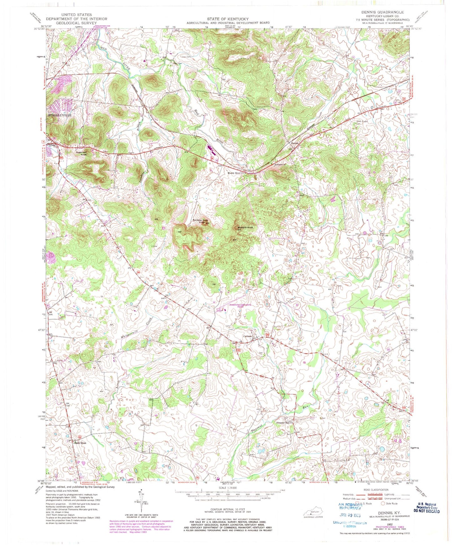
Classic USGS Dennis Kentucky 7.5'x7.5' Topo Map
Couldn't load pickup availability
Historical USGS topographic quad map of Dennis in the state of Kentucky. Map scale may vary for some years, but is generally around 1:24,000. Print size is approximately 24" x 27"
This quadrangle is in the following counties: Logan.
The map contains contour lines, roads, rivers, towns, and lakes. Printed on high-quality waterproof paper with UV fade-resistant inks, and shipped rolled.
Contains the following named places: Bib's Chapel Cemetery, Butlers, Buzzard Knob, Cook Cemetery, Corinth, Dennis, Duncans Shed, Halls Store, Mud River Valley School, Muddy River Church, Pillow Cemetery, Pleasant Run, Pleasant Run Church, Poindexter Branch, Rainbow Rock Knob, Rockcastle Church, Russellville-Logan County Airport, Sugarloaf Knob