
MyTopo
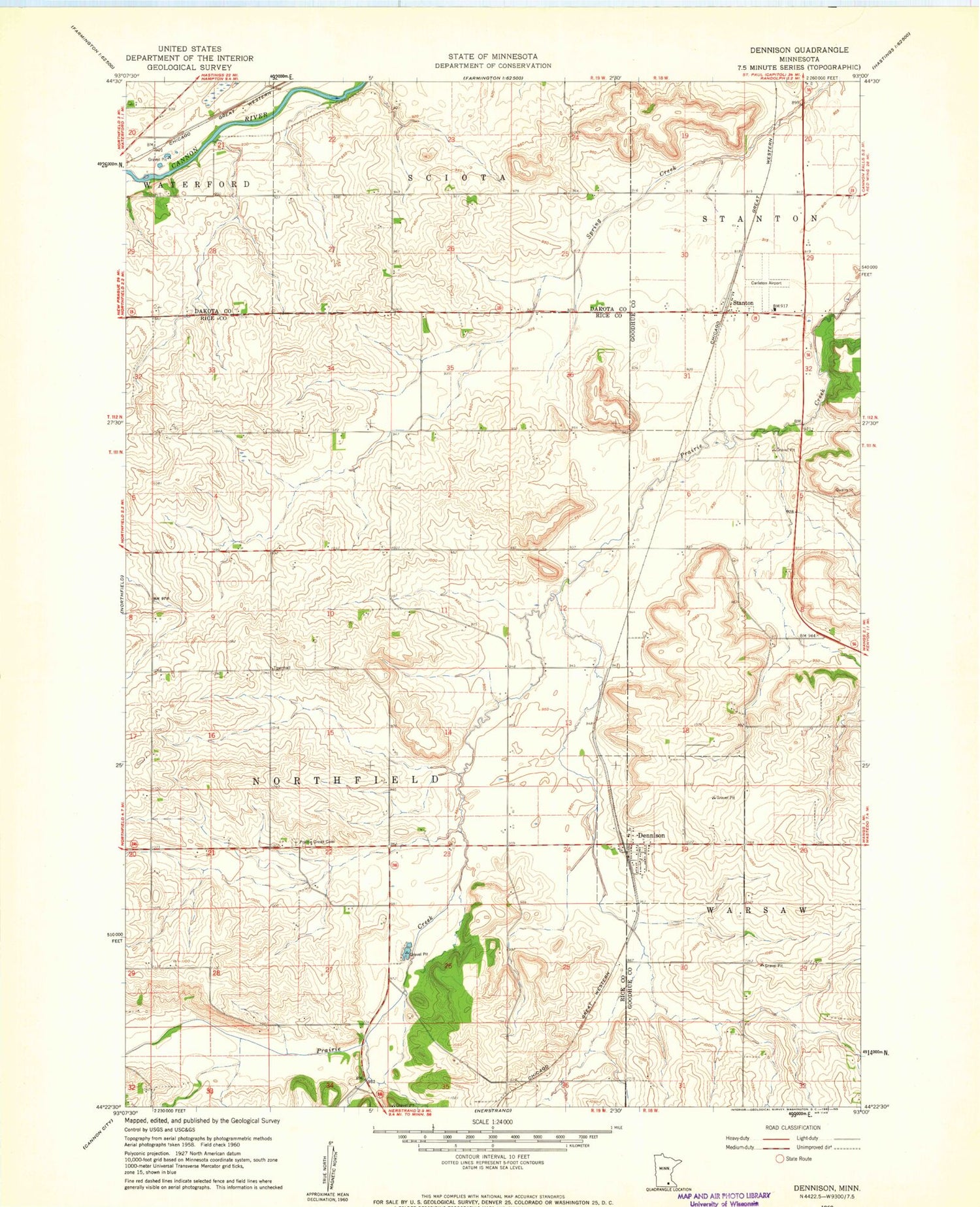
Classic USGS Dennison Minnesota 7.5'x7.5' Topo Map
Couldn't load pickup availability
Historical USGS topographic quad map of Dennison in the state of Minnesota. Map scale may vary for some years, but is generally around 1:24,000. Print size is approximately 24" x 27"
This quadrangle is in the following counties: Dakota, Goodhue, Rice.
The map contains contour lines, roads, rivers, towns, and lakes. Printed on high-quality waterproof paper with UV fade-resistant inks, and shipped rolled.
Contains the following named places: City of Dennison, Dennison, Dennison City Hall, Dennison Depot, Dennison Lutheran Church, Dennison Post Office, Horning-Festler Detention Dam, KYMN-AM (Northfield), Prairie Creek Cemetery, Stanton, Stanton Airfield, Stanton Post Office, Stanton United Methodist Church, Township of Northfield, White Barn Orchard


