MyTopo
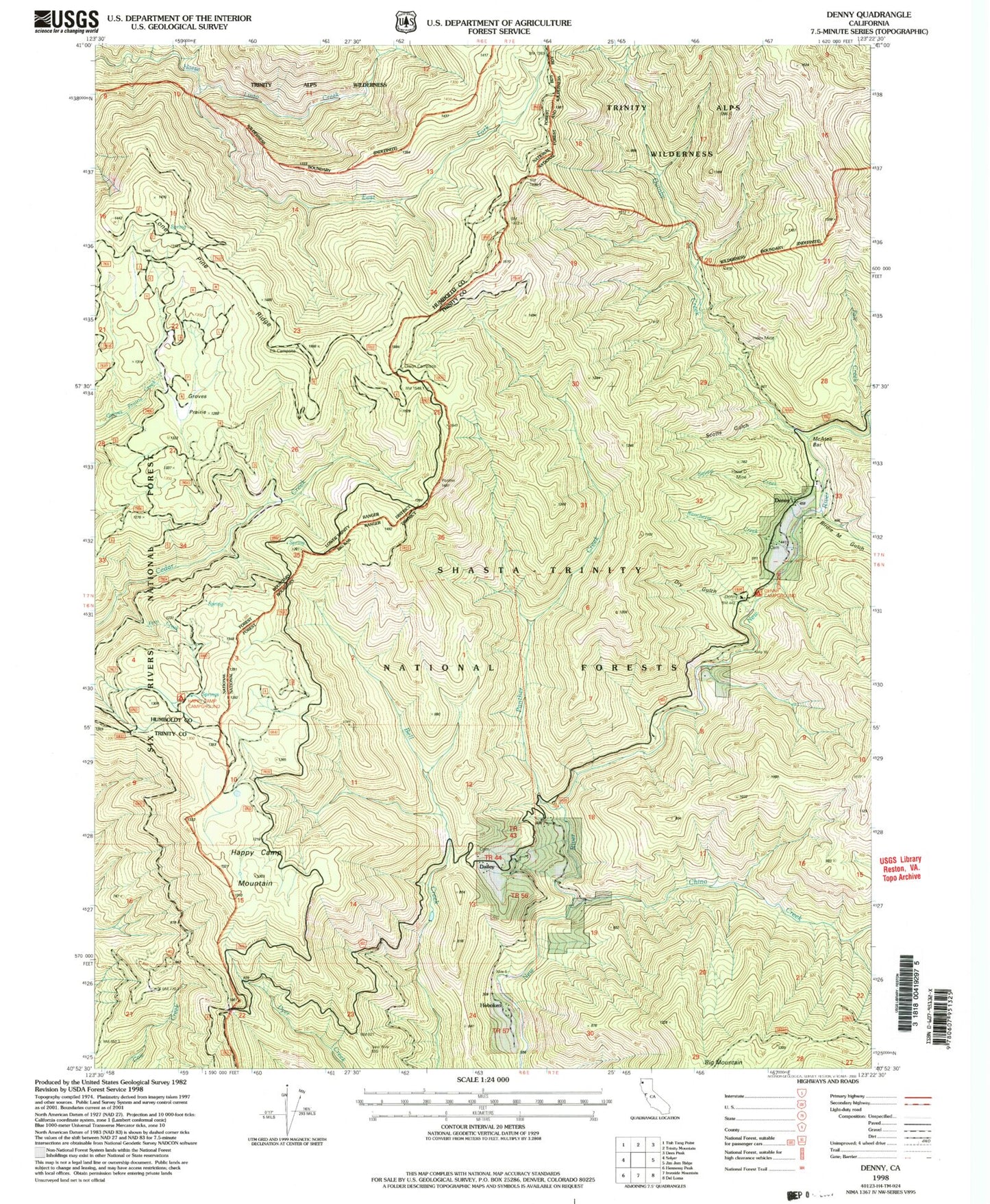
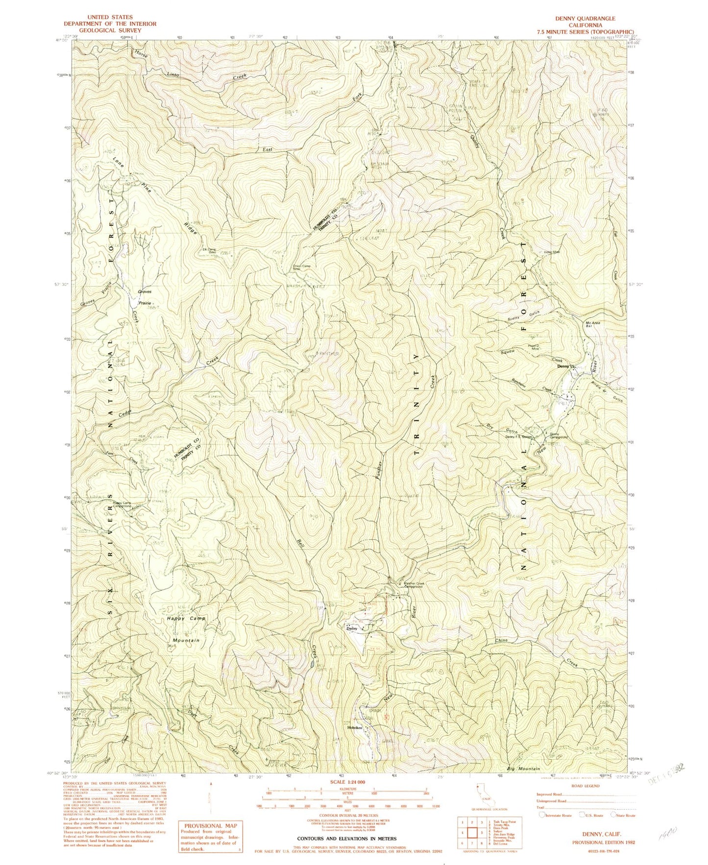
Classic USGS Denny California 7.5'x7.5' Topo Map
Couldn't load pickup availability
Historical USGS topographic quad map of Denny in the state of California. Map scale may vary for some years, but is generally around 1:24,000. Print size is approximately 24" x 27"
This quadrangle is in the following counties: Humboldt, Trinity.
The map contains contour lines, roads, rivers, towns, and lakes. Printed on high-quality waterproof paper with UV fade-resistant inks, and shipped rolled.
Contains the following named places: Big Mountain, Birdie M Gulch, China Creek, Denny, Denny Campground, Denny Forest Service Station, Dry Gulch, East Fork Horse Linto Creek, Elk Camp, Fall Creek, Fern Creek, Groves Prairie, Happy Camp Campground, Happy Camp Mountain, Hazel D Mine, Hoboken, Index Mine, Lone Pine Ridge, McAtee Bar, Onion Camp, Panther Creek, Panther Creek Campground, Quinby, Quinby Creek, Rancheria Creek, Scotts Gulch, Squaw Creek, ZIP Code: 95563


