MyTopo
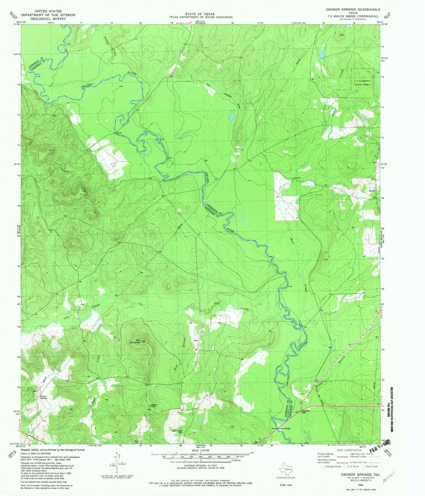
Classic USGS Denson Springs Texas 7.5'x7.5' Topo Map
Regular price
$16.95
Regular price
Sale price
$16.95
Unit price
per
Couldn't load pickup availability
Historical USGS topographic quad map of Denson Springs in the state of Texas. Map scale may vary for some years, but is generally around 1:24,000. Print size is approximately 24" x 27"
This quadrangle is in the following counties: Anderson, Cherokee.
The map contains contour lines, roads, rivers, towns, and lakes. Printed on high-quality waterproof paper with UV fade-resistant inks, and shipped rolled.
Contains the following named places: Bird Branch, Bird Mountain Lookout Tower, Bull Creek, Caney Creek, Cedar Creek, Fastrill Bridge, Ioni Creek, Muse Church, Sardis Cemetery, Sardis Church, Tailes Creek