MyTopo
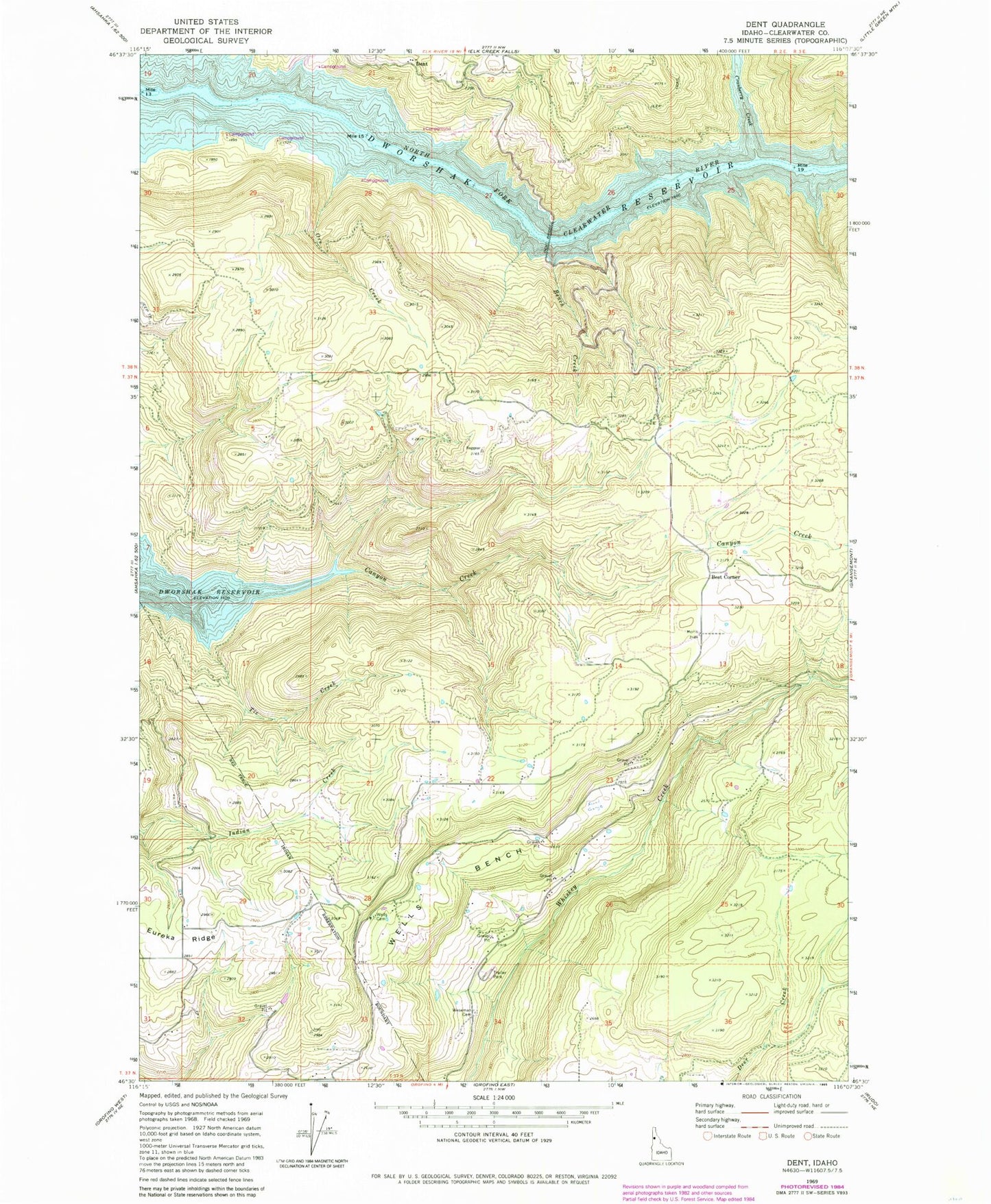
Classic USGS Dent Idaho 7.5'x7.5' Topo Map
Couldn't load pickup availability
Historical USGS topographic quad map of Dent in the state of Idaho. Map scale may vary for some years, but is generally around 1:24,000. Print size is approximately 24" x 27"
This quadrangle is in the following counties: Clearwater.
The map contains contour lines, roads, rivers, towns, and lakes. Printed on high-quality waterproof paper with UV fade-resistant inks, and shipped rolled.
Contains the following named places: Bench Creek, Best Corner, Canyon Creek Recreation Site, Cold Springs Recreation Site, Cranberry Creek, Dent, Dent Acres Recreation Site, Dent Bridge, Dent Orchards Recreation Site, Dworshak Reservoir, Eureka Ridge, Hansberg, KLER-FM (Orofino), Orofino-Grangemont Check Station, Ove Creek, Tie Creek, Twin Ridge Rural Fire Department, Wells Bench, Wells Cemetery, Weseman Cemetery