MyTopo
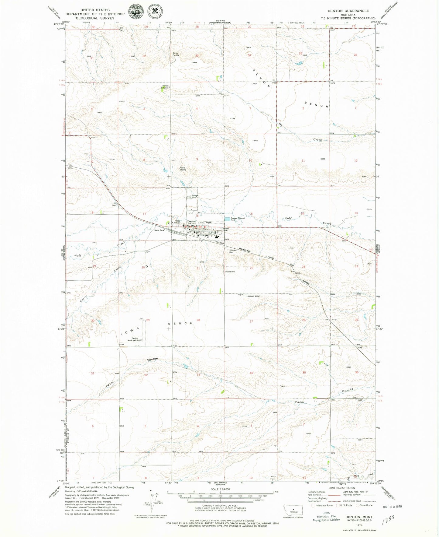
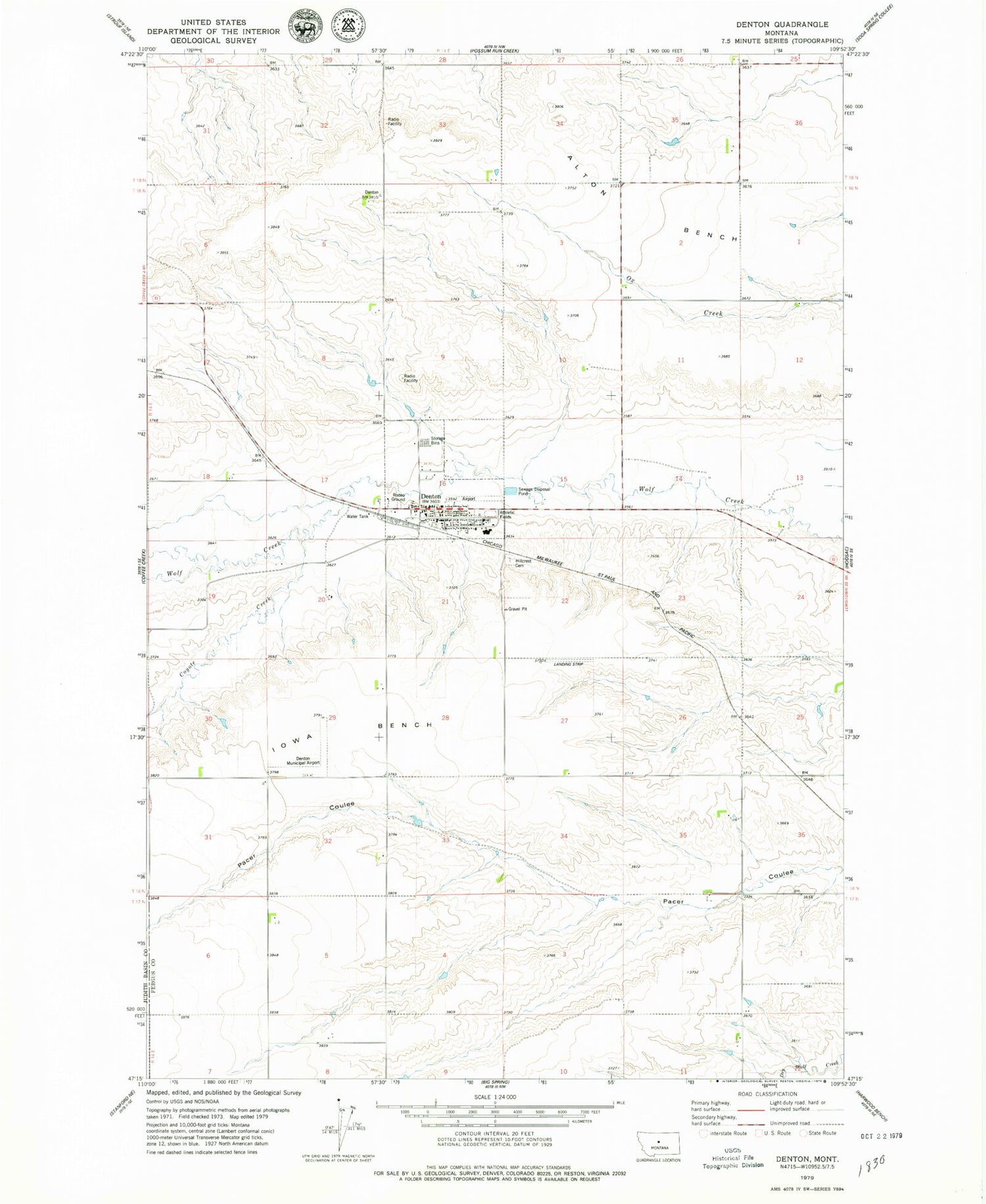
Classic USGS Denton Montana 7.5'x7.5' Topo Map
Couldn't load pickup availability
Historical USGS topographic quad map of Denton in the state of Montana. Map scale may vary for some years, but is generally around 1:24,000. Print size is approximately 24" x 27"
This quadrangle is in the following counties: Fergus.
The map contains contour lines, roads, rivers, towns, and lakes. Printed on high-quality waterproof paper with UV fade-resistant inks, and shipped rolled.
Contains the following named places: 17N14E06DCCA02 Well, 18N14E10DAB_01 Well, 18N14E14CAB_01 Well, 18N14E15DBB_01 Well, 18N14E30CDD_01 Well, 18N14E33AAA_01 Well, 19N14E28CCCB01 Well, 19N14E32AAB_01 Well, 19N14E33BBBB01 Well, 19N14E33BBBB02 Well, 19N14E33BBCD01 Well, 19N14E33BCBD01 Well, Coyote Creek, Denton, Denton Airport, Denton Ambulance, Denton Bible Church, Denton City Park, Denton Community Methodist Church, Denton Fire Department, Denton Post Office, Denton Public Library, Denton Public School, Denton Rural Fire District, Farmers Cooperative Elevator, Gallatin Valley Milling Company Elevator, General Mills Incorporated Elevator, Hillcrest Cemetery, Iowa Bench, Lions Club Park, Melton School, Our Saviors Lutheran Church, Saint Anthony Church, Strong School, Town of Denton, Tutsch Reservoir Dam, Western Lumber and Grain Company Elevator


