MyTopo
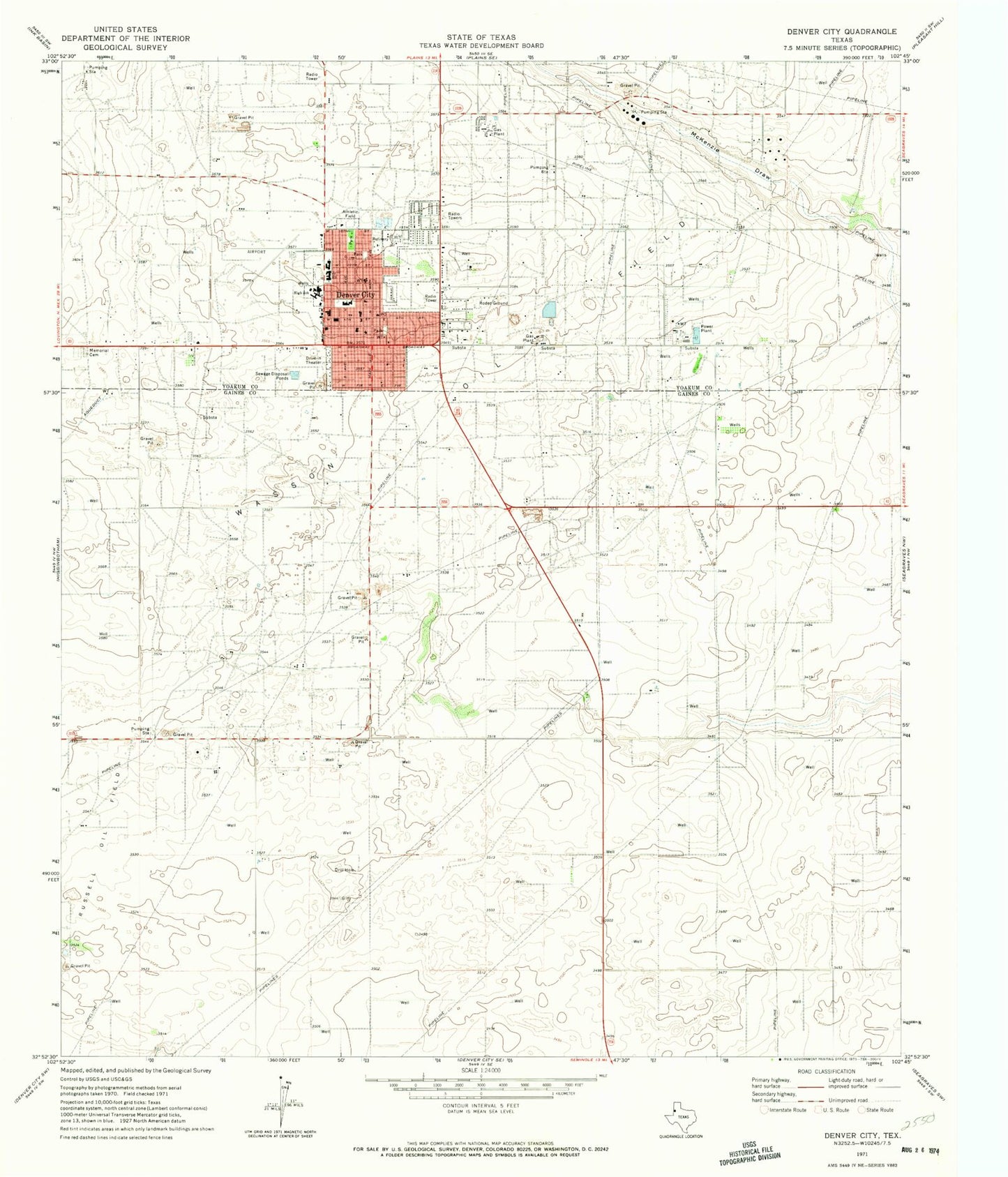
Classic USGS Denver City Texas 7.5'x7.5' Topo Map
Couldn't load pickup availability
Historical USGS topographic quad map of Denver City in the state of Texas. Map scale may vary for some years, but is generally around 1:24,000. Print size is approximately 24" x 27"
This quadrangle is in the following counties: Gaines, Yoakum.
The map contains contour lines, roads, rivers, towns, and lakes. Printed on high-quality waterproof paper with UV fade-resistant inks, and shipped rolled.
Contains the following named places: Abundant Life Fellowship, Bethel Baptist Church, Church of the Nazarene, Denver City, Denver City Airport, Denver City City Hall, Denver City Emergency Medical Service, Denver City Fire Marshal's Office, Denver City High School, Denver City Historical Museum, Denver City Intermediate School, Denver City Junior High School, Denver City Memorial Park, Denver City Police Department, Denver City Post Office, Denver City Volunteer Fire Department, El Calvario Assembly of God Church, Excalibur Adult Education School, Faith Baptist Church, Kelley Elementary School, Mustang Stadium, Saint Williams Catholic Church, Town of Denver City, Trinity Baptist Church, Yoakum County Hospital, Yoakum County Sheriff's Office Substation, ZIP Code: 79323