
MyTopo
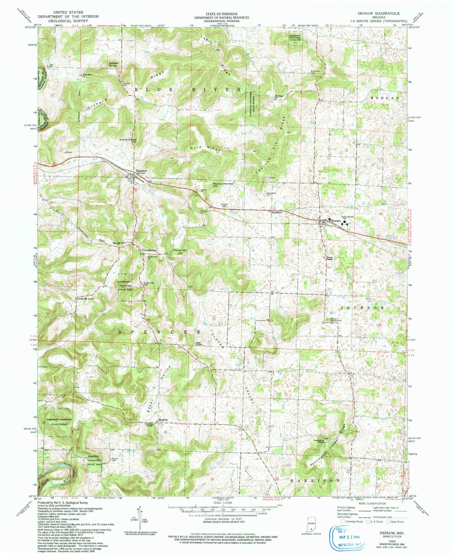
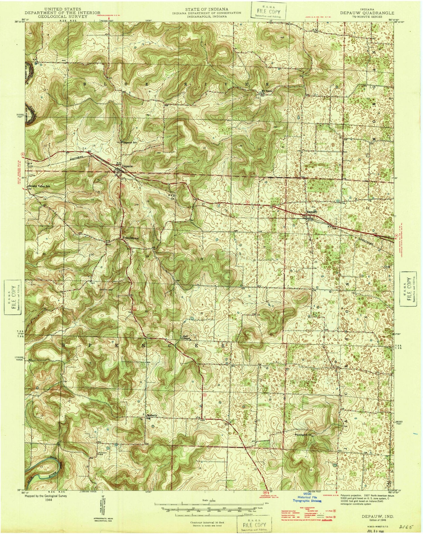
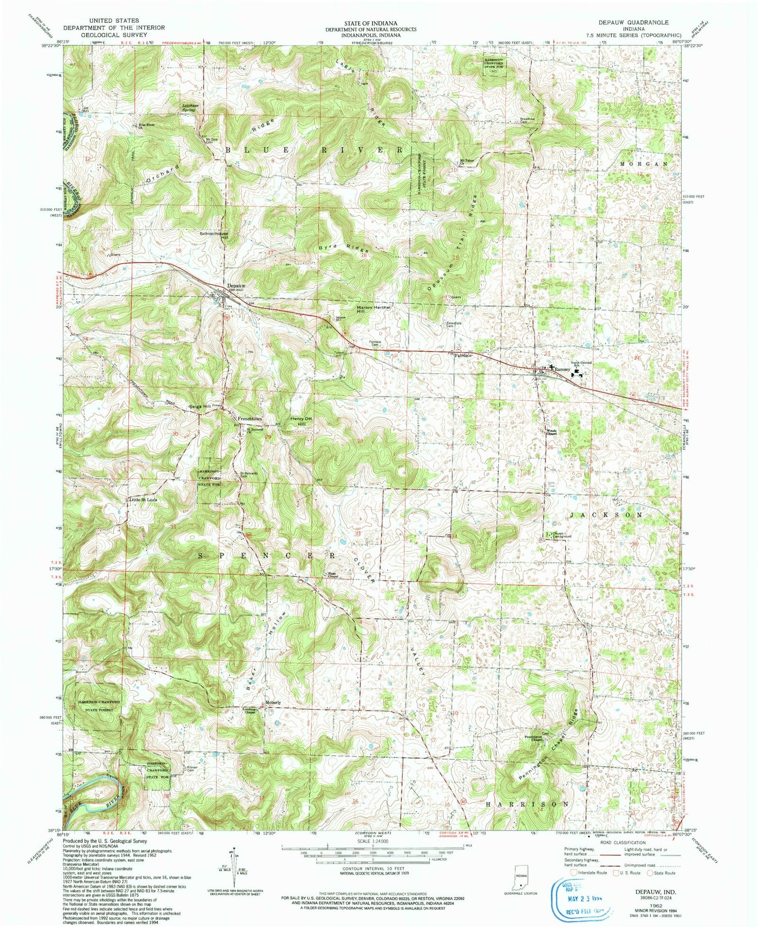
Classic USGS Depauw Indiana 7.5'x7.5' Topo Map
Couldn't load pickup availability
Historical USGS topographic quad map of Depauw in the state of Indiana. Typical map scale is 1:24,000, but may vary for certain years, if available. Print size: 24" x 27"
This quadrangle is in the following counties: Crawford, Harrison.
The map contains contour lines, roads, rivers, towns, and lakes. Printed on high-quality waterproof paper with UV fade-resistant inks, and shipped rolled.
Contains the following named places: Blue River Church, Breedlove Cemetery, Byrd Ridge, Clover Valley, Depauw, Devils Elbow, Fairdale, Fairdale Cemetery, Frenchtown, Haas Chapel, Henry Ott Hill, Lagle Ridge, Leichner Spring, Little Saint Louis, Loudens Chapel, Marion Herthel Hill, Moberly, Mount Tabor Church, Mount Zion Cemetery, North Central School, Opossum Trial Ridge, Orchard Ridge, Pennington Chapel, Pennington Chapel Ridge, Pitman Cemetery, Ramsey, Saint Bernard Catholic Cemetery, Saint Bernards Church, Satenfield Cemetery, Schoolhouse Hill, Seigs Hill, Woods Chapel, Baker Hollow, Glen-Hire Ranch Airport (historical), Township of Spencer, Ramsey Post Office, Ramsey Volunteer Fire Department Station 1, Ramsey Volunteer Fire Department Station 3, Corydon Stone Quarry, Milltown Rock Quarry, Depauw Post Office