
MyTopo
Classic USGS Derby Dam Nevada 7.5'x7.5' Topo Map
Regular price
$16.95
Regular price
Sale price
$16.95
Unit price
per
Couldn't load pickup availability
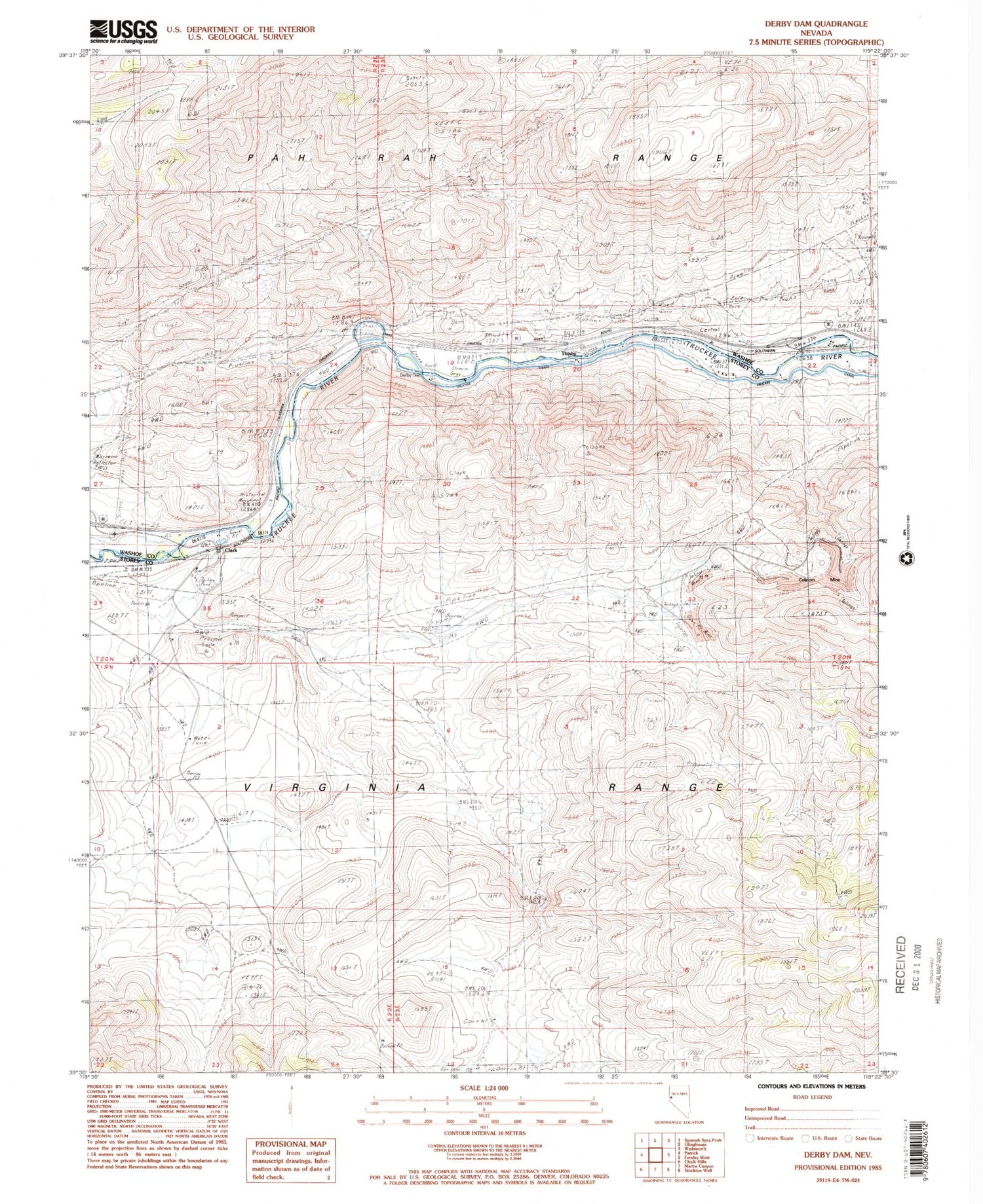
Historical USGS topographic quad map of Derby Dam in the state of Nevada. Map scale may vary for some years, but is generally around 1:24,000. Print size is approximately 24" x 27"
This quadrangle is in the following counties: Storey, Washoe.
The map contains contour lines, roads, rivers, towns, and lakes. Printed on high-quality waterproof paper with UV fade-resistant inks, and shipped rolled.
Contains the following named places: Celatom Mine, Clark, Clark Mining District, Clark Post Office, Clarks, Clarks Post Office, Derby Dam, Eagle-Picher Industries Inc Mill, Fort Storey, Post Canyon, Sarvia, Storey County Fire Department Station 5 Tahoe - Reno Industrial Complex, Taylor Branch Prospect, Thisby


