
MyTopo
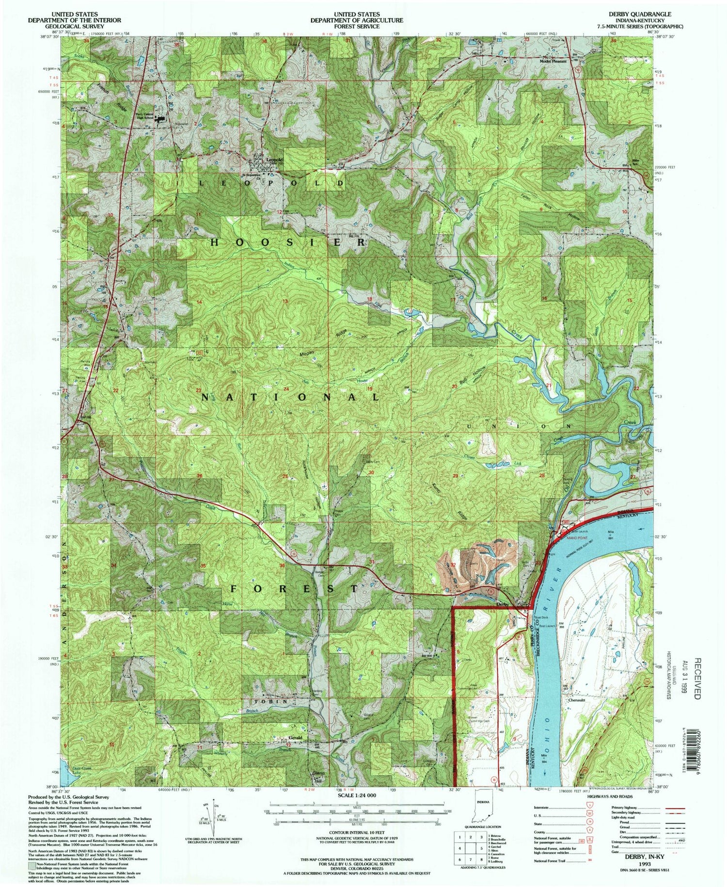
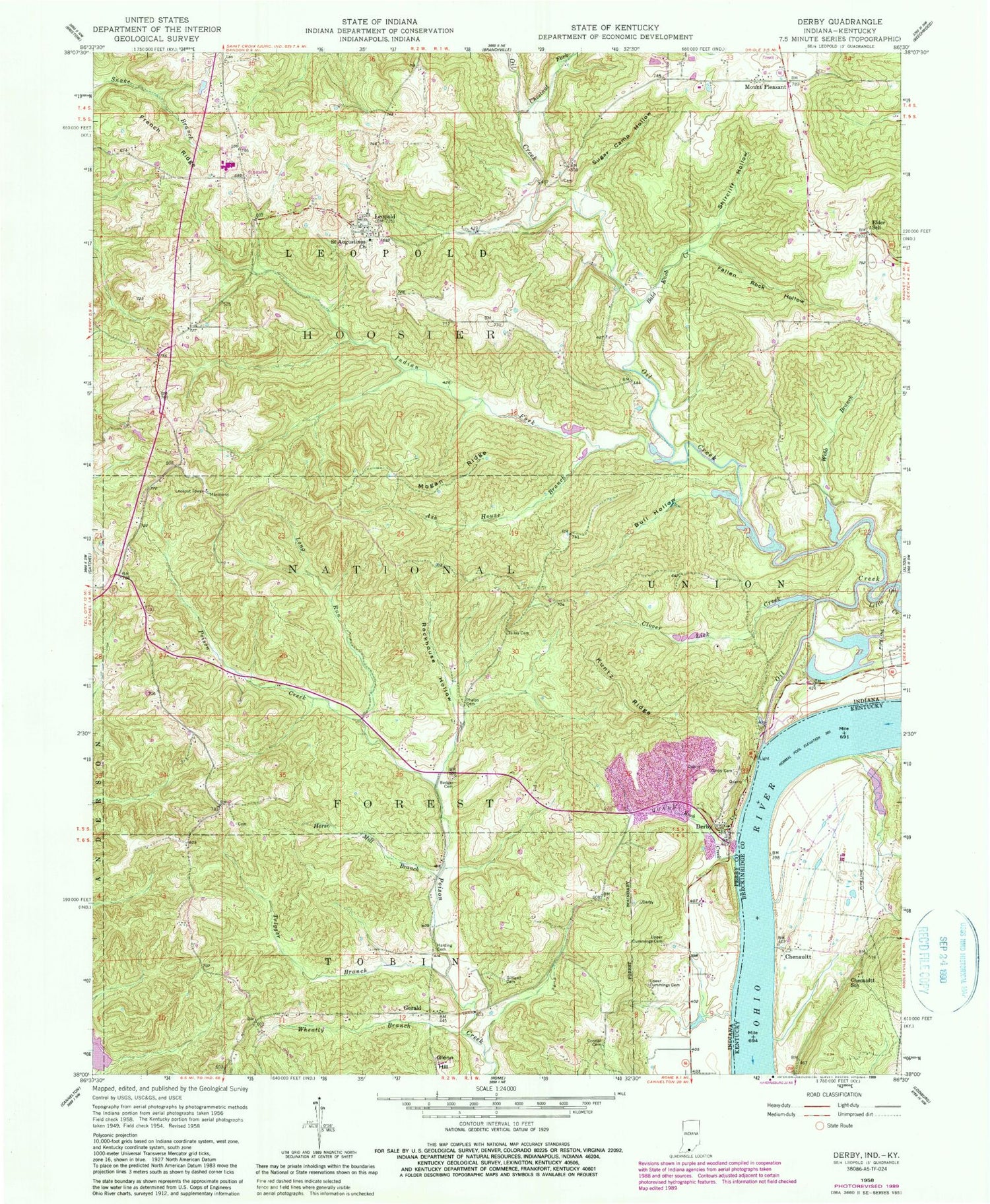
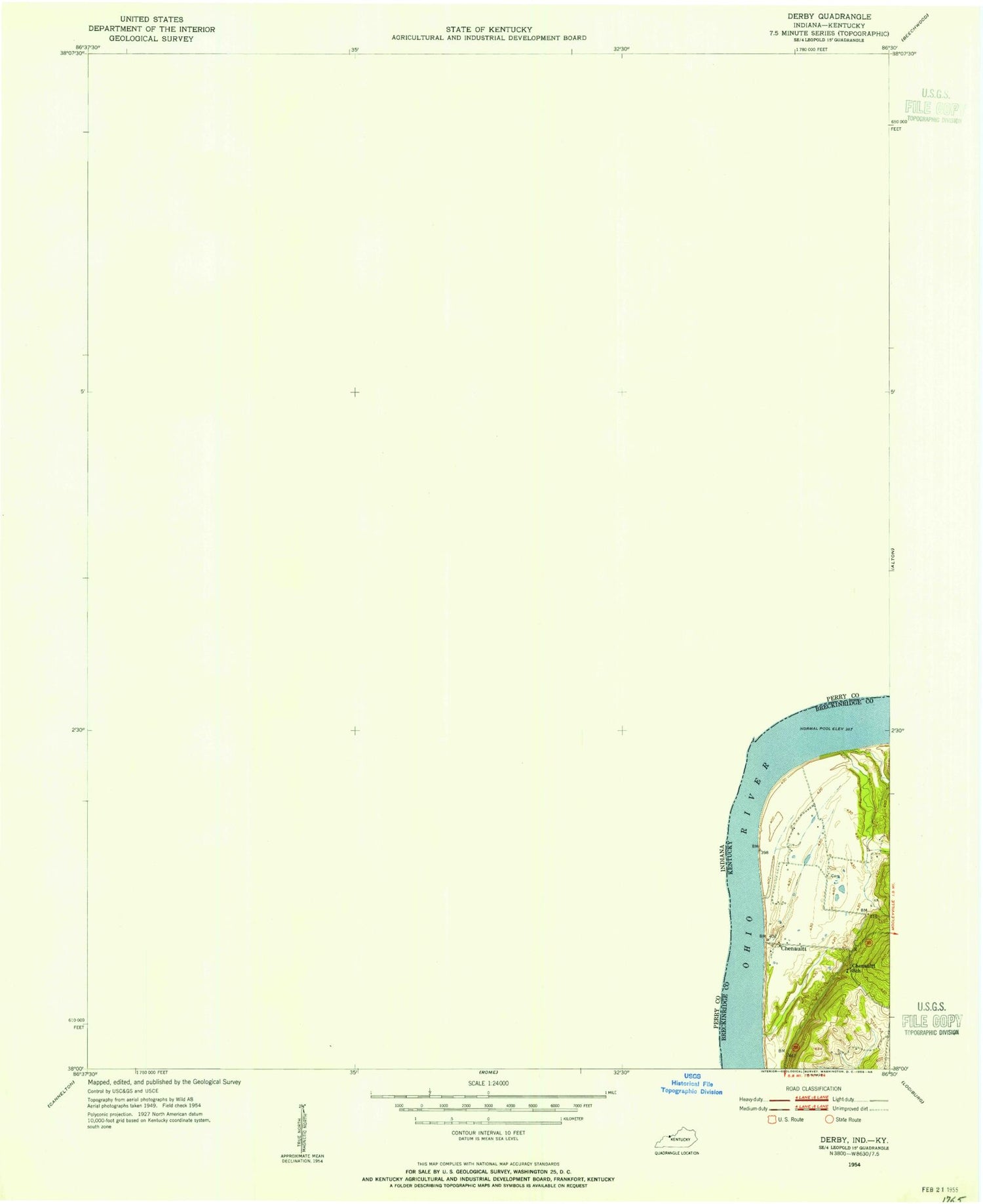
Classic USGS Derby Indiana 7.5'x7.5' Topo Map
Couldn't load pickup availability
Historical USGS topographic quad map of Derby in the states of Indiana, Kentucky. Map scale may vary for some years, but is generally around 1:24,000. Print size is approximately 24" x 27"
This quadrangle is in the following counties: Breckinridge, Perry.
The map contains contour lines, roads, rivers, towns, and lakes. Printed on high-quality waterproof paper with UV fade-resistant inks, and shipped rolled.
Contains the following named places: Ash House Branch, Badger Cemetery, Bald Knob Creek, Bull Hollow, Central Perry Fire Department Station 2, Central Perry Volunteer Fire Department, Chenaultt, Chenaultt School, Chestnut Fork, Clover Lick Creek, Conner Cemetery, Derby, Derby Cemetery, Derby Pond, Derby Quarry, Elder School, Fallen Rock Hollow, French Ridge, Gerald, Gilliand Cemetery, Glenn Hill, Harding Cemetery, Harding Pond, Horse Mill Branch, Indian Fork, Knob Creek, Kuntz Ridge, Leopold, Little Oil Creek, Long Run, Lower Cummings Cemetery, Mano Point Recreation Site, Mogan Ridge, Mount Pleasant, Oil Creek, Perry Central Elementary School Number 1, Perry Central Elementary School Number 2, Perry Central Junior-Senior High School, Perry County Emergency Management Agency Fire and Rescue Station 2, Phelps Cemetery, Rockhouse Hollow, Saint Augustine Cemetery, Saint Augustinus Church, Shircliff Hollow, Sugar Camp Hollow, Talley Cemetery, Township of Leopold, Township of Union, Trigger Branch, Upper Cummings Cemetery, Webb Branch, Wheatly Branch, ZIP Codes: 47525, 47551


