MyTopo
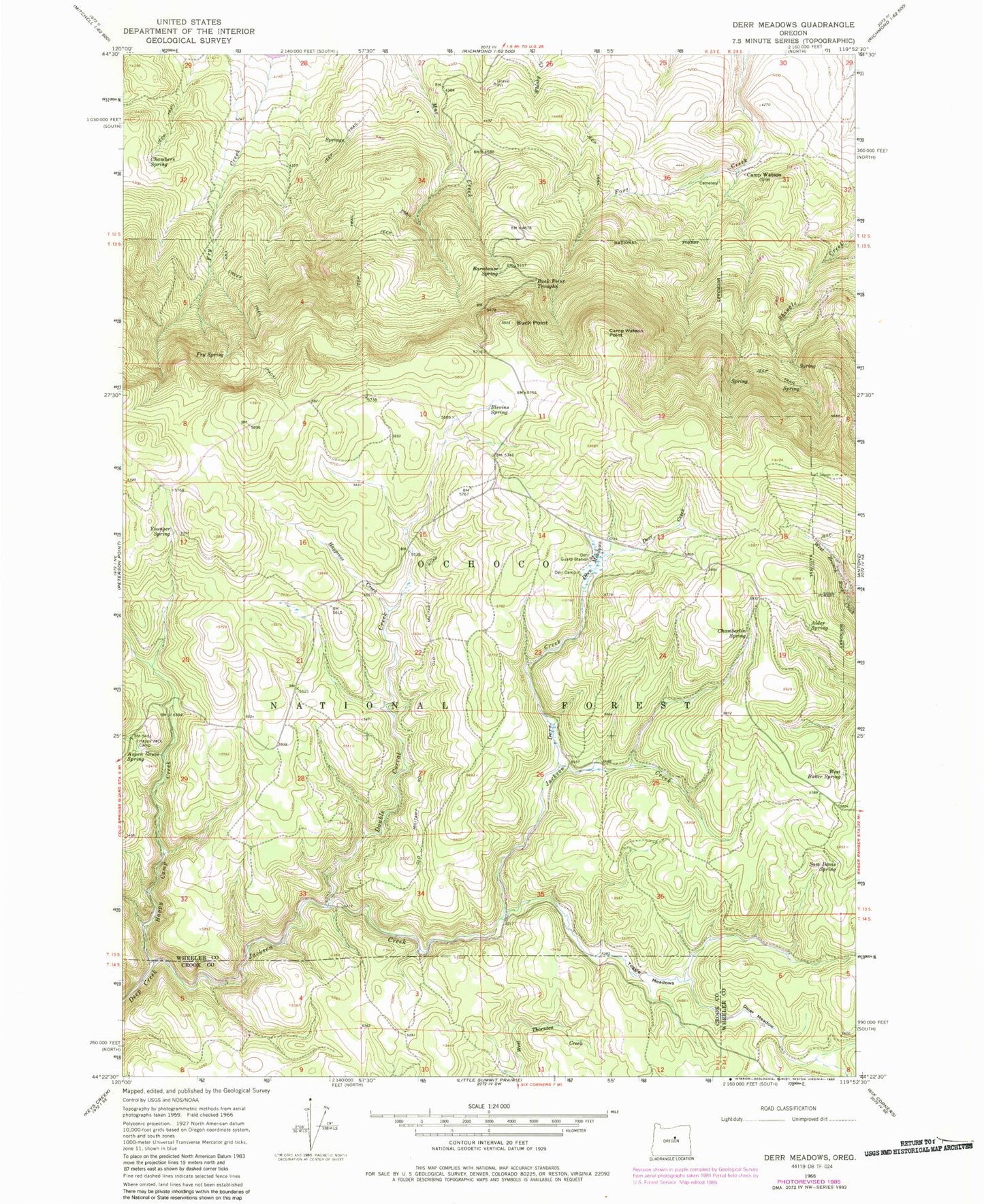
Classic USGS Derr Meadows Oregon 7.5'x7.5' Topo Map
Couldn't load pickup availability
Historical USGS topographic quad map of Derr Meadows in the state of Oregon. Map scale may vary for some years, but is generally around 1:24,000. Print size is approximately 24" x 27"
This quadrangle is in the following counties: Crook, Wheeler.
The map contains contour lines, roads, rivers, towns, and lakes. Printed on high-quality waterproof paper with UV fade-resistant inks, and shipped rolled.
Contains the following named places: Alder Spring, Aspen Grove Spring, Barnhouse Recreation Site, Barnhouse Spring, Blevins Spring, Buck Point, Buck Point Troughs, Cabbage Creek, Camp Watson, Camp Watson Cemetery, Camp Watson Point, Camp Watson Post Office, Chamberlin Spring, Chambers Spring, Derr Camp, Derr Creek, Derr Guard Station, Derr Meadows, Dicer Meadow, Double Corral, Double Corral Creek, Fry Spring, Happy Camp Creek, Happy Jack Camp, Haypress Creek, Jackson Creek, Sam Davis Spring, Toggle Creek, Toggle Meadows, West Buker Spring, Younger Spring