MyTopo
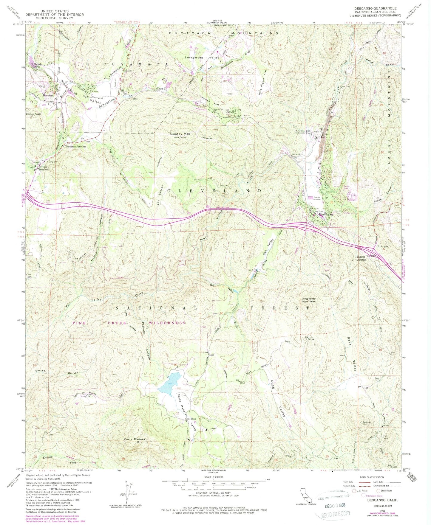
Classic USGS Descanso California 7.5'x7.5' Topo Map
Couldn't load pickup availability
Historical USGS topographic quad map of Descanso in the state of California. Typical map scale is 1:24,000, but may vary for certain years, if available. Print size: 24" x 27"
This quadrangle is in the following counties: San Diego.
The map contains contour lines, roads, rivers, towns, and lakes. Printed on high-quality waterproof paper with UV fade-resistant inks, and shipped rolled.
Contains the following named places: Bear Valley, Carl Spring, Corte Madera Mountain, Corte Madera Trail, Corte Madera Valley, Descanso, Descanso Valley, Farley Flat, Guatay Campground, Guatay Mountain, Horsethief Ridge, Laguna Junction (historical), Las Bancas, Long Valley, Long Valley Peak, Los Terrenitos, Nelson Canyon, Oak Valley, Oak Valley Creek, Pine Creek Bible Conference Ground, Pine Creek Campground, Pine Valley, Pothole Canyon, Samagatuma Valley, Wild Pigeon Flat, Descanso Creek, Noble Canyon, Pine Creek Trail, Samagatuma Creek, Scove Canyon, Noble Canyon Trailhead, Descanso Fire Station, Pine Valley, Beulah Picnic Ground (historical), Descanso Junction, Dexter Peak, Guatay, Hulburd Grove, Corte Madera 837 Dam, Harbaugh Ranch, Decker Prospect, Eagle Nest Mine, Mahood Prospect, Tres Amigos Mine, Descanso Branch San Diego County Library, Descanso Elementary School, Descanso Post Office, Pine Valley Branch San Diego County Library, Pine Valley County Park, Pine Valley Elementary School, Pine Valley Post Office, Pine Creek Wilderness, Pine Valley Census Designated Place, Pine Creek Trailhead, Bear Valley Trailhead, Nello Irwin Greer Memorial Bridge, CAL FIRE Descanso Fire Station 45, Pine Valley Fire Station 44, San Diego County Sheriff's Office Pine Valley Substation, Ellis Ranch Cemetery


