MyTopo
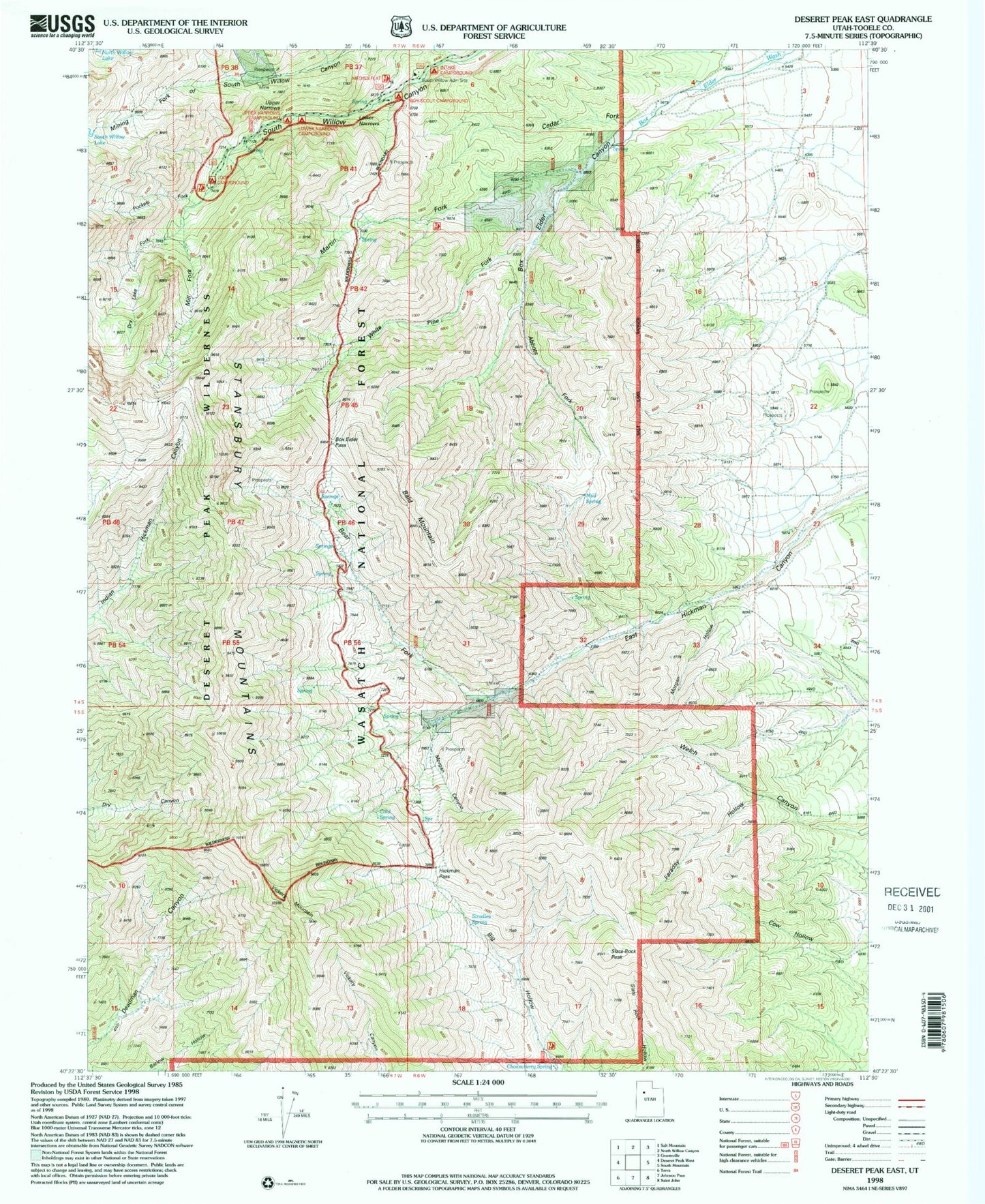
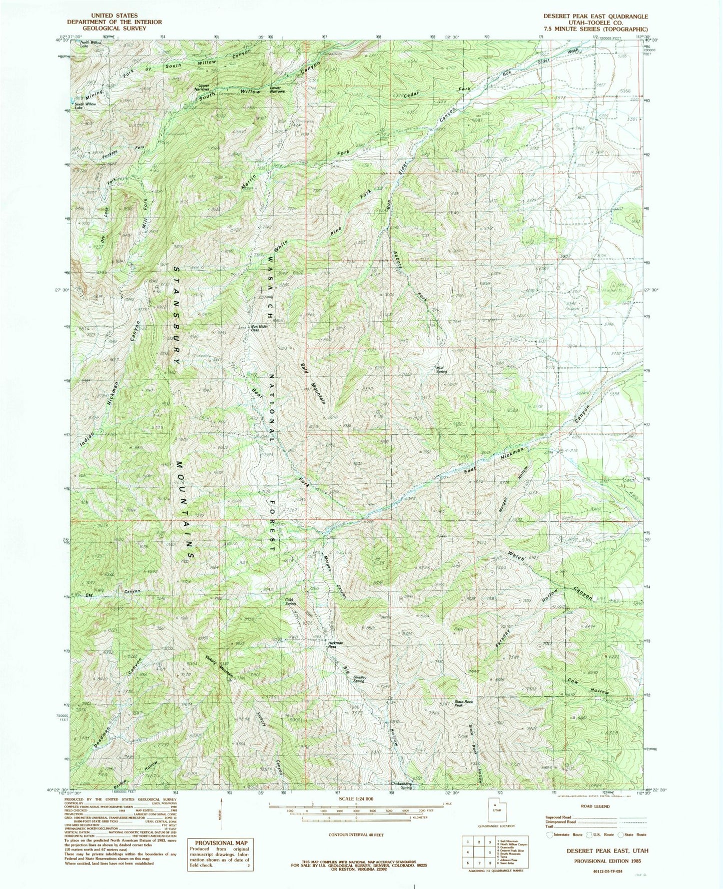
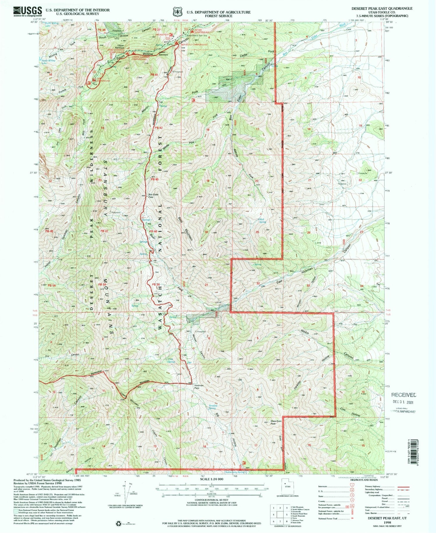
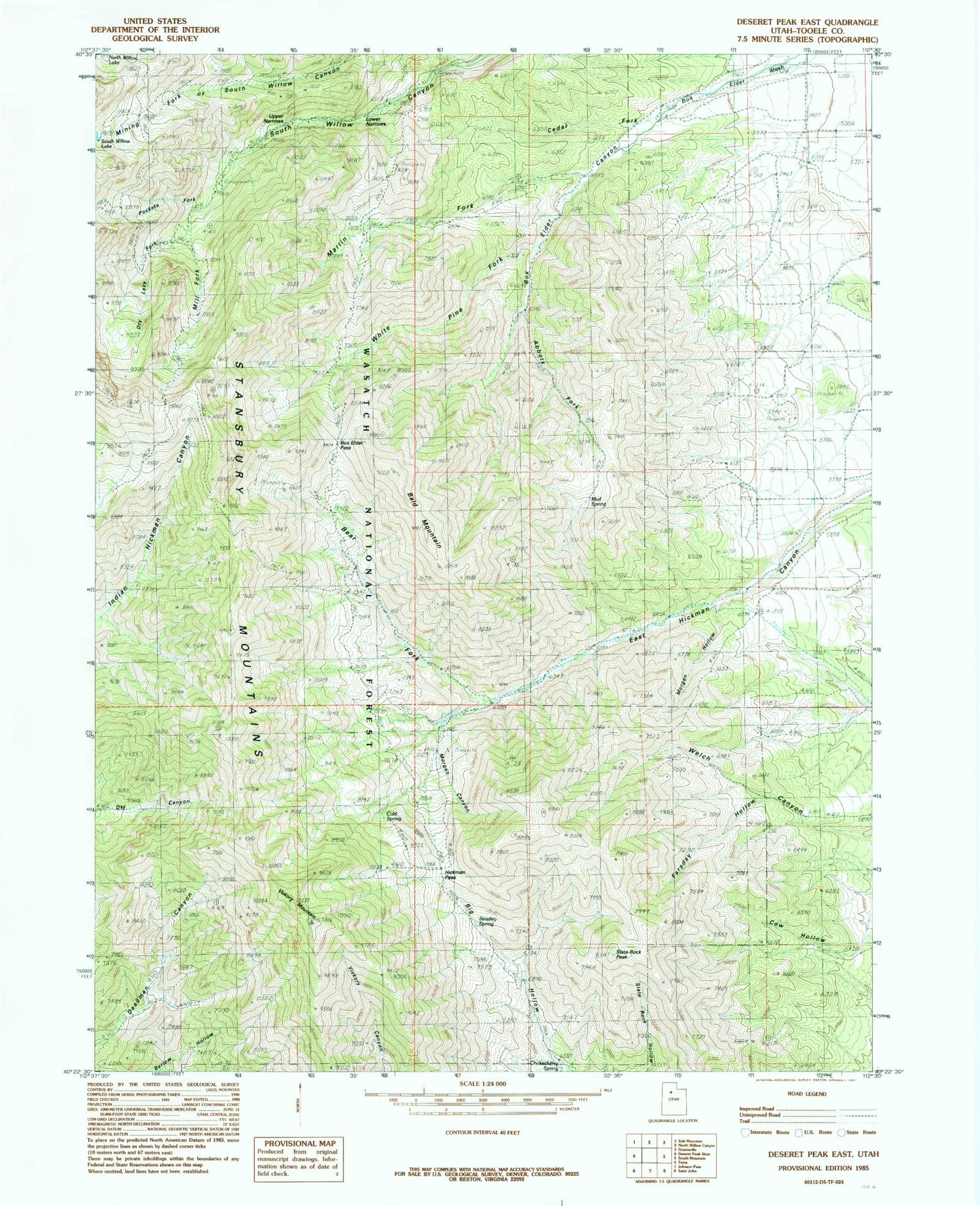
Classic USGS Deseret Peak East Utah 7.5'x7.5' Topo Map
Couldn't load pickup availability
Historical USGS topographic quad map of Deseret Peak East in the state of Utah. Typical map scale is 1:24,000, but may vary for certain years, if available. Print size: 24" x 27"
This quadrangle is in the following counties: Tooele.
The map contains contour lines, roads, rivers, towns, and lakes. Printed on high-quality waterproof paper with UV fade-resistant inks, and shipped rolled.
Contains the following named places: Abbots Fork, Bald Mountain, Bear Fork, Box Elder Canyon, Box Elder Pass, Cedar Fork, Chokecherry Spring, Cold Spring, Cow Hollow, Dry Lake Fork, Hickman Pass, Lower Narrows, Martin Fork, Mill Fork, Mining Fork of South Willow Canyon, Morgan Canyon, Morgan Hollow, Mud Spring, Pockets Fork, Silver Drum Mine, Slate Rock Peak, Stradley Spring, Upper Narrows, Vickory Mountain, White Pine Fork, Faraday Hollow, Boy Scout Campground, Buck Spring, Intake Campground, Little Bald Mountain, Loop Campground, Lower Narrows Campground, Upper Narrows Campground, Dry Fork, South Willow Guard Station, Medina Flat Trailhead, Mining Fork of South Willow Creek


