MyTopo
Classic USGS Deseret Peak West Utah 7.5'x7.5' Topo Map
Regular price
$16.95
Regular price
Sale price
$16.95
Unit price
per
Couldn't load pickup availability
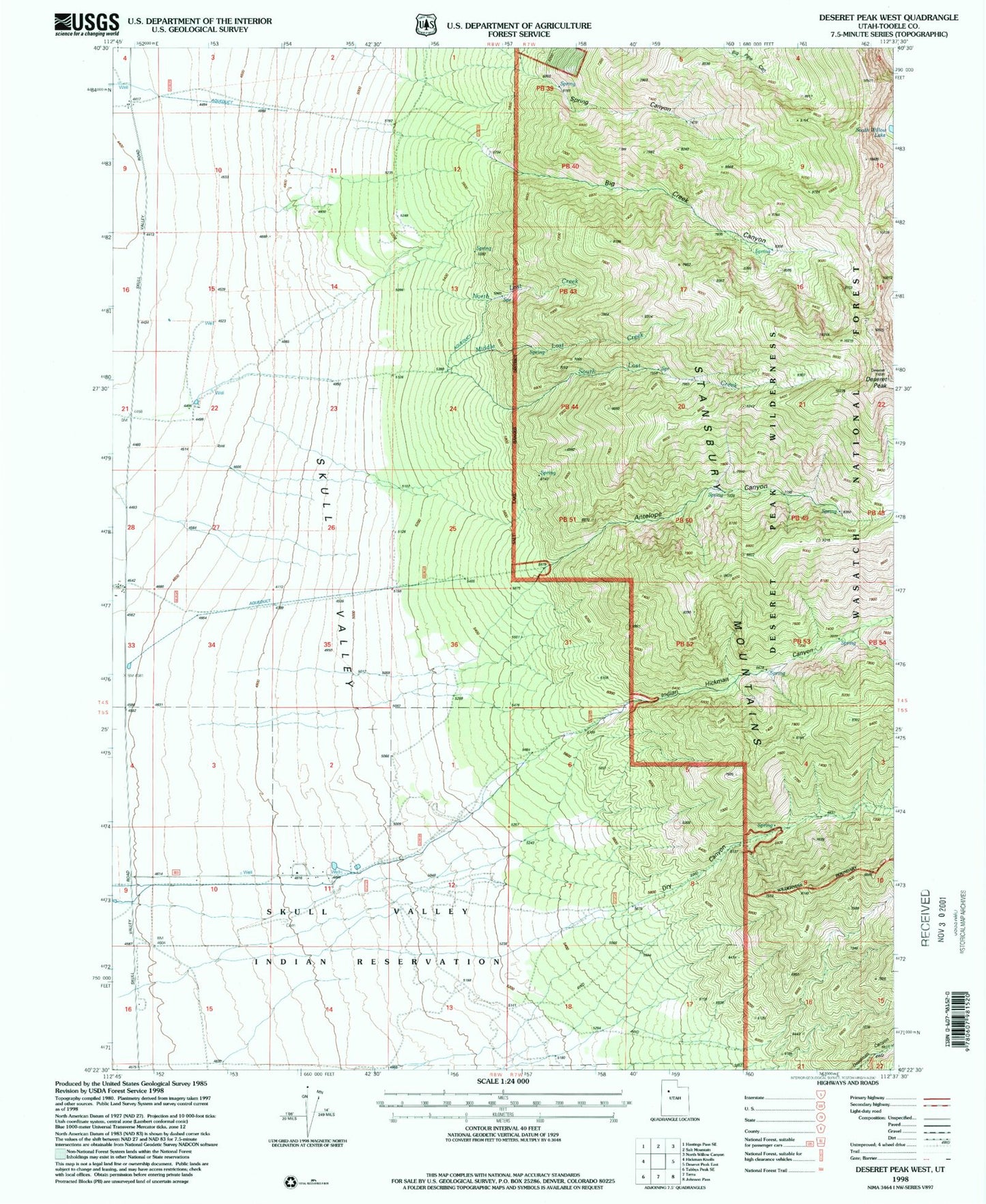
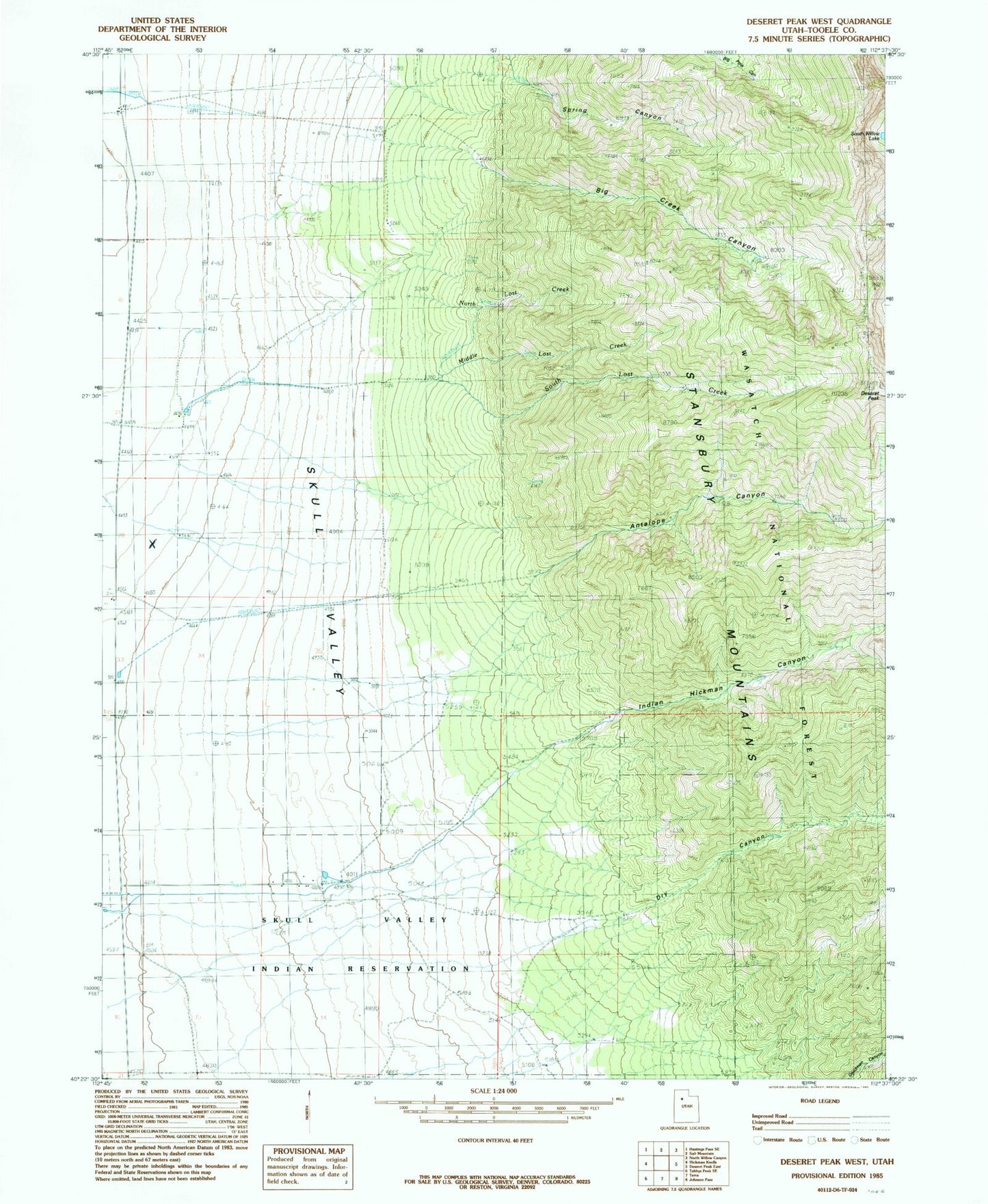
Historical USGS topographic quad map of Deseret Peak West in the state of Utah. Map scale may vary for some years, but is generally around 1:24,000. Print size is approximately 24" x 27"
This quadrangle is in the following counties: Tooele.
The map contains contour lines, roads, rivers, towns, and lakes. Printed on high-quality waterproof paper with UV fade-resistant inks, and shipped rolled.
Contains the following named places: Antelope Canyon, Big Creek Canyon, Deseret Peak, Deseret Peak Wilderness, Deseret Ranch, Dry Canyon, Hatch Ranch, Indian Hickman Canyon, Island Ranch, Middle Lost Creek, Skull Valley Reservation, South Lost Creek, South Willow Lake, Spring Canyon, Upper Spring, ZIP Code: 84022