MyTopo
Classic USGS Desert Creek Peak Nevada 7.5'x7.5' Topo Map
Couldn't load pickup availability
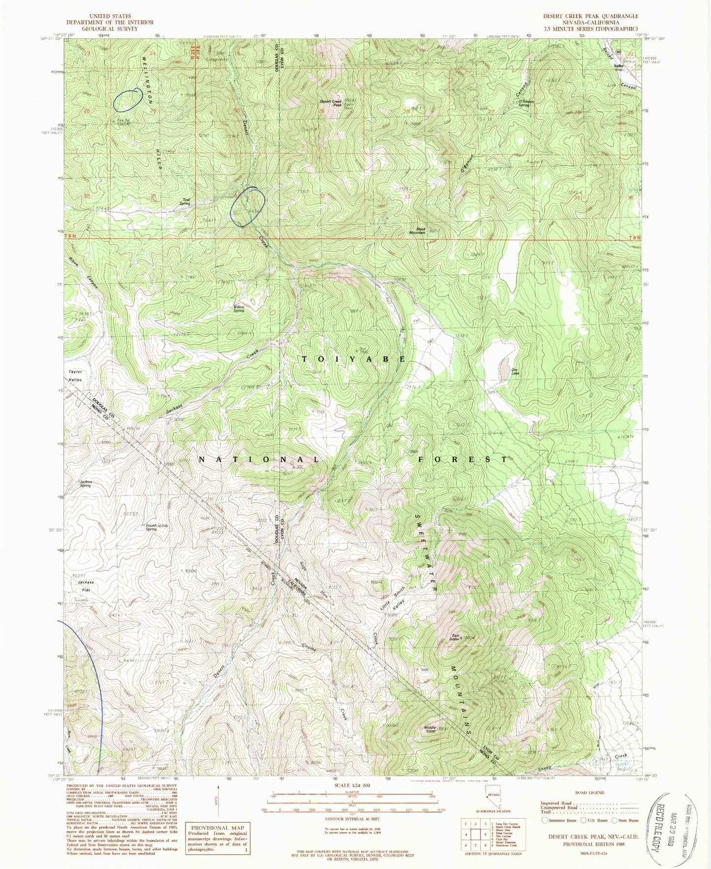
Historical USGS topographic quad map of Desert Creek Peak in the states of Nevada, California. Typical map scale is 1:24,000, but may vary for certain years, if available. Print size: 24" x 27"
This quadrangle is in the following counties: Douglas, Lyon, Mono.
The map contains contour lines, roads, rivers, towns, and lakes. Printed on high-quality waterproof paper with UV fade-resistant inks, and shipped rolled.
Contains the following named places: Desert Creek Mountains, Black Mountain, Desert Creek Peak, Dry Lake, East Sister, Little Smith Valley, O'Banion Spring, Rickey Mine, Sulfur, Trail Spring, Wellington Hills, Willow Spring, Desert Creek Campground, Coyote Creek, Fourth of July Spring, Jackass Creek, Jackass Flat, Jackass Spring, Middle Sister, Sage Hen Creek