MyTopo
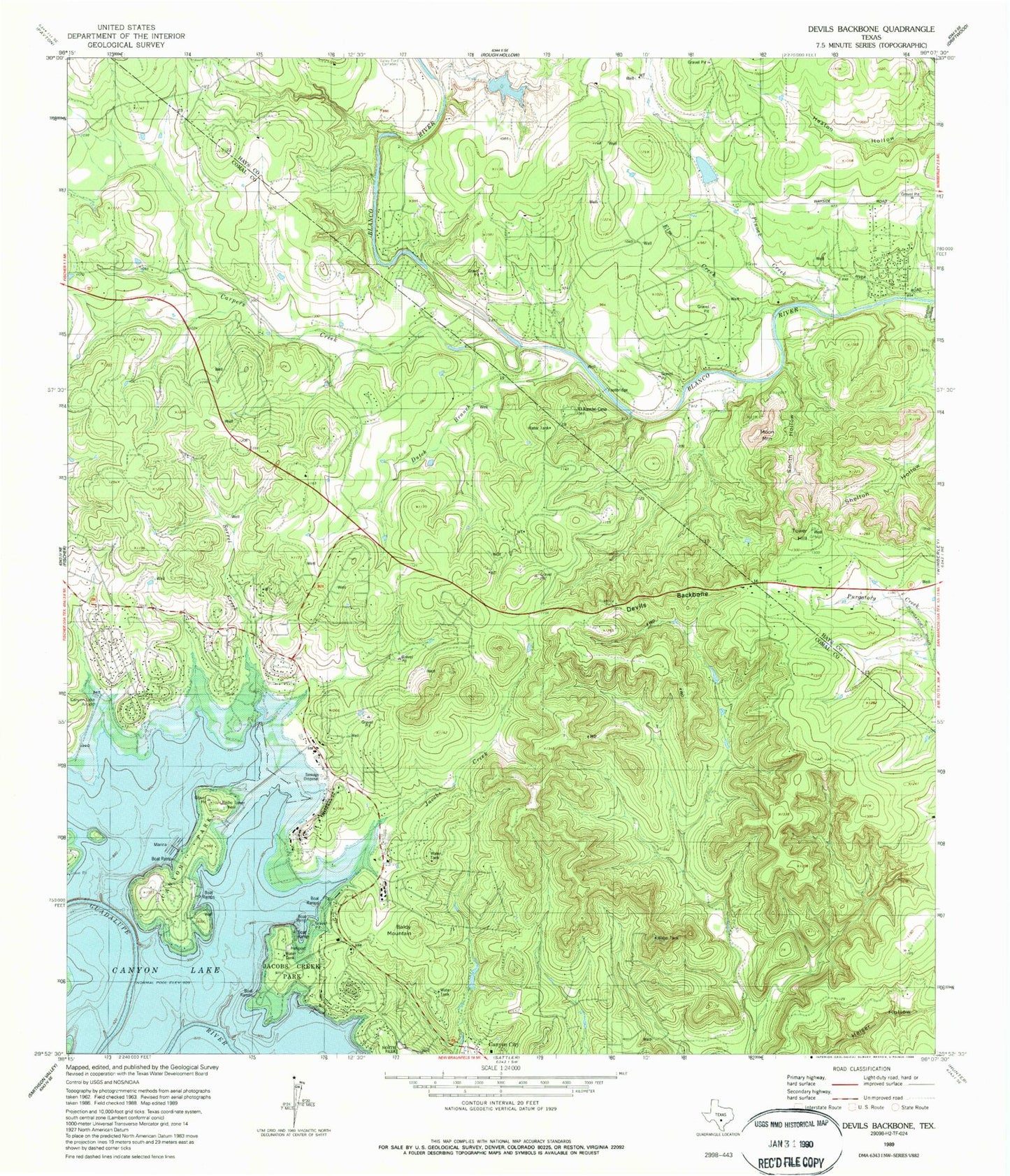
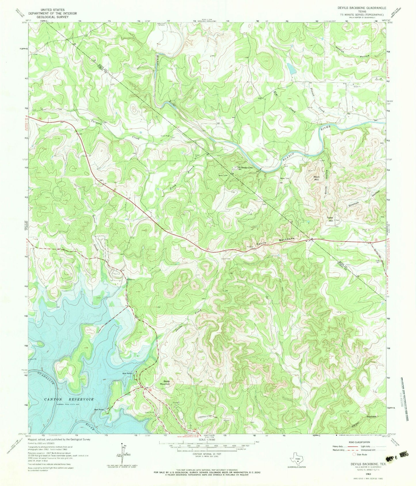
Classic USGS Devils Backbone Texas 7.5'x7.5' Topo Map
Couldn't load pickup availability
Historical USGS topographic quad map of Devils Backbone in the state of Texas. Typical map scale is 1:24,000, but may vary for certain years, if available. Print size: 24" x 27"
This quadrangle is in the following counties: Comal, Hays.
The map contains contour lines, roads, rivers, towns, and lakes. Printed on high-quality waterproof paper with UV fade-resistant inks, and shipped rolled.
Contains the following named places: Baldy Mountain, Carpers Creek, Devils Backbone, Dutch Branch, El Rancho Cima, Elm Creek, Hugo Cemetery, Jacobs Creek, Moon Mountain, Pinoak Creek, Shelton Hollow, Smith Hollow, Sorrel Creek, Tower Hill, Canyon Lake Airport, Rancho Del Lago Heliport, Pierce Dam, Pierce Lake, Clear Lake Dam, Clear Lake, Boy Scout Dam, Boy Scout Lake, Canyon Park, Jacobs Creek Park, Old Hancock Trail, Randolph Recreation Area at Canyon Lake, Fort Sam Houston Recreation Area at Canyon Lake, 4 S Ranch Airport