MyTopo
Classic USGS Devils Elbow Pennsylvania 7.5'x7.5' Topo Map
Couldn't load pickup availability
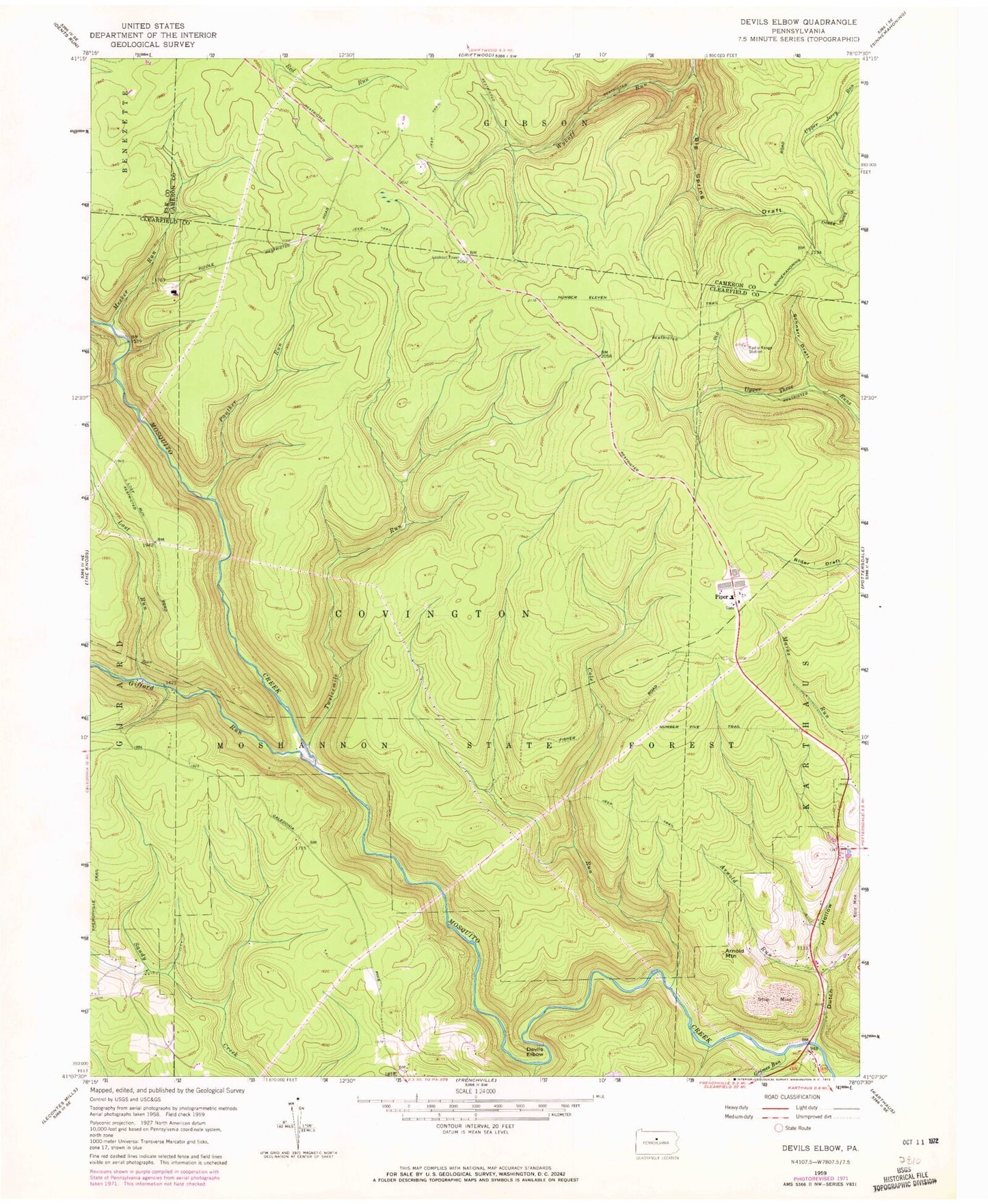
Historical USGS topographic quad map of Devils Elbow in the state of Pennsylvania. Typical map scale is 1:24,000, but may vary for certain years, if available. Print size: 24" x 27"
This quadrangle is in the following counties: Cameron, Clearfield, Elk.
The map contains contour lines, roads, rivers, towns, and lakes. Printed on high-quality waterproof paper with UV fade-resistant inks, and shipped rolled.
Contains the following named places: Arnold Mountain, Arnold Run, Big Sandy Run, Big Spring Draft, Cole Run, Dutch Hollow, Grimes Run, Lost Run, Meeker Run, Panther Run, Piper, Schnarr Draft, Susman Run, Twelvemile Run, Devils Elbow, Number Eleven Trail, Number Five Trail, Apollo Rangers Club, Sanders Draft, Lime Spring Camp, Gum Spring Camp, Dry Draft, Blackwell Dam (historical), Pine Spring Camp, Cherry Hollow Trail, Big Spring Draft Trail, Gifford Run, Gifford Run, Wykoff Run State Forest Natural Area, Heichel Run, Township of Covington