
MyTopo
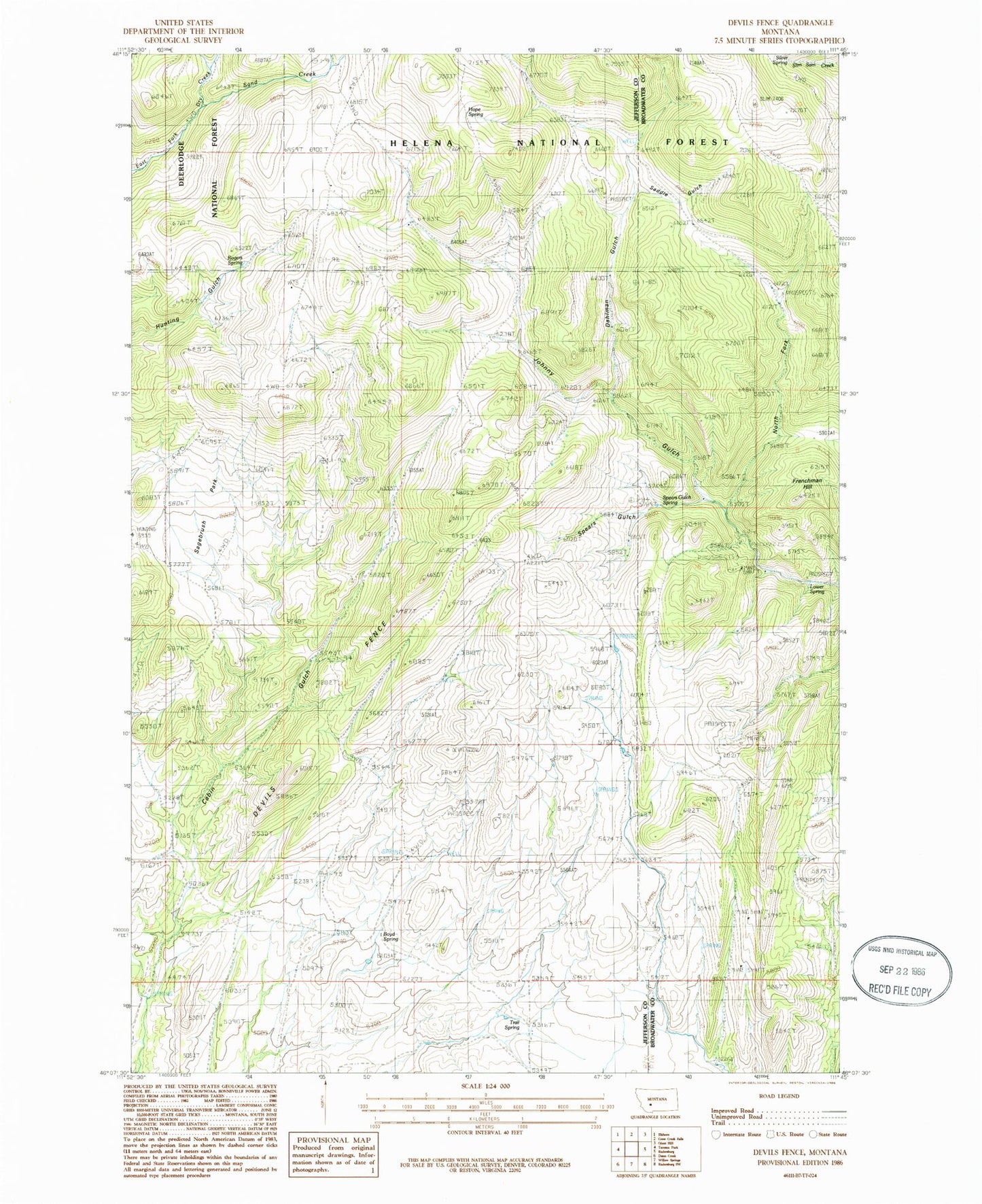
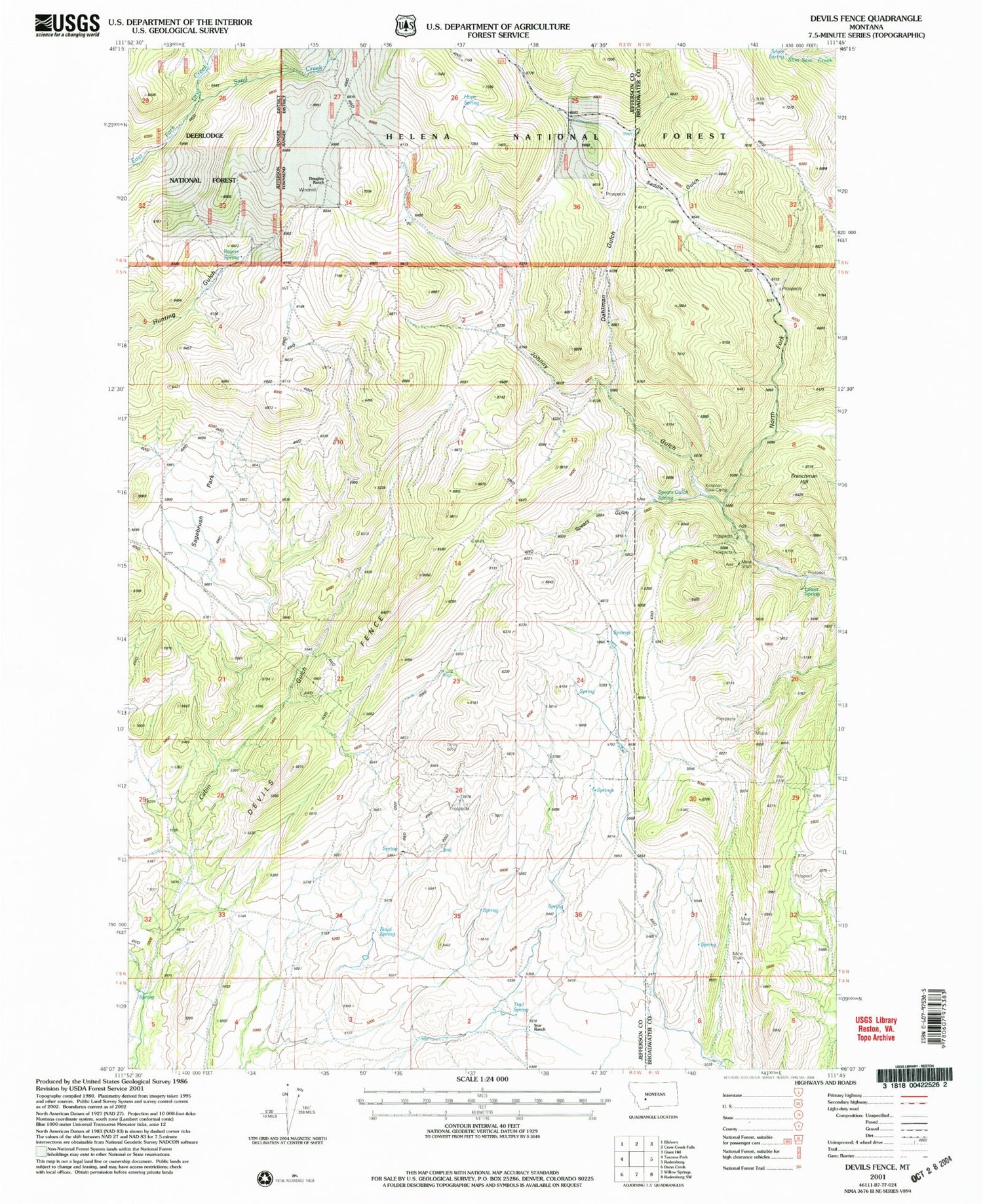
Classic USGS Devils Fence Montana 7.5'x7.5' Topo Map
Couldn't load pickup availability
Historical USGS topographic quad map of Devils Fence in the state of Montana. Map scale may vary for some years, but is generally around 1:24,000. Print size is approximately 24" x 27"
This quadrangle is in the following counties: Broadwater, Jefferson.
The map contains contour lines, roads, rivers, towns, and lakes. Printed on high-quality waterproof paper with UV fade-resistant inks, and shipped rolled.
Contains the following named places: Boyd Spring, Dahlman Gulch, Devils Fence, Doughty Ranch, Frenchman Hill, Hope Spring, Kimpton Cow Camp, Lower Spring, North Fork Johnny Gulch, Rogers Spring, Saddle Gulch, Sagebrush Park, Sand Creek, SE NE Section 18 Mine, SE NE Section 31 Mine, SE SE Section 31 Mine, Silver Spring, Spar Mine, Spears Gulch, Spears Gulch Spring, Star Ranch, Trail Spring, Turman Creek