MyTopo
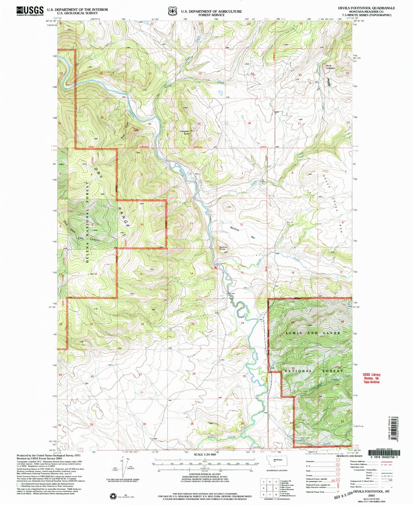
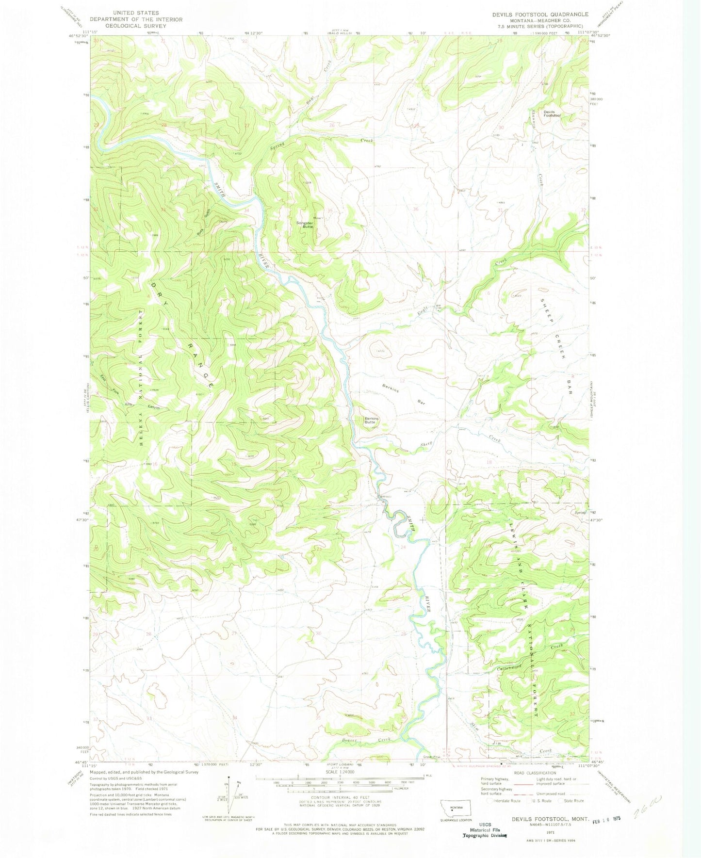
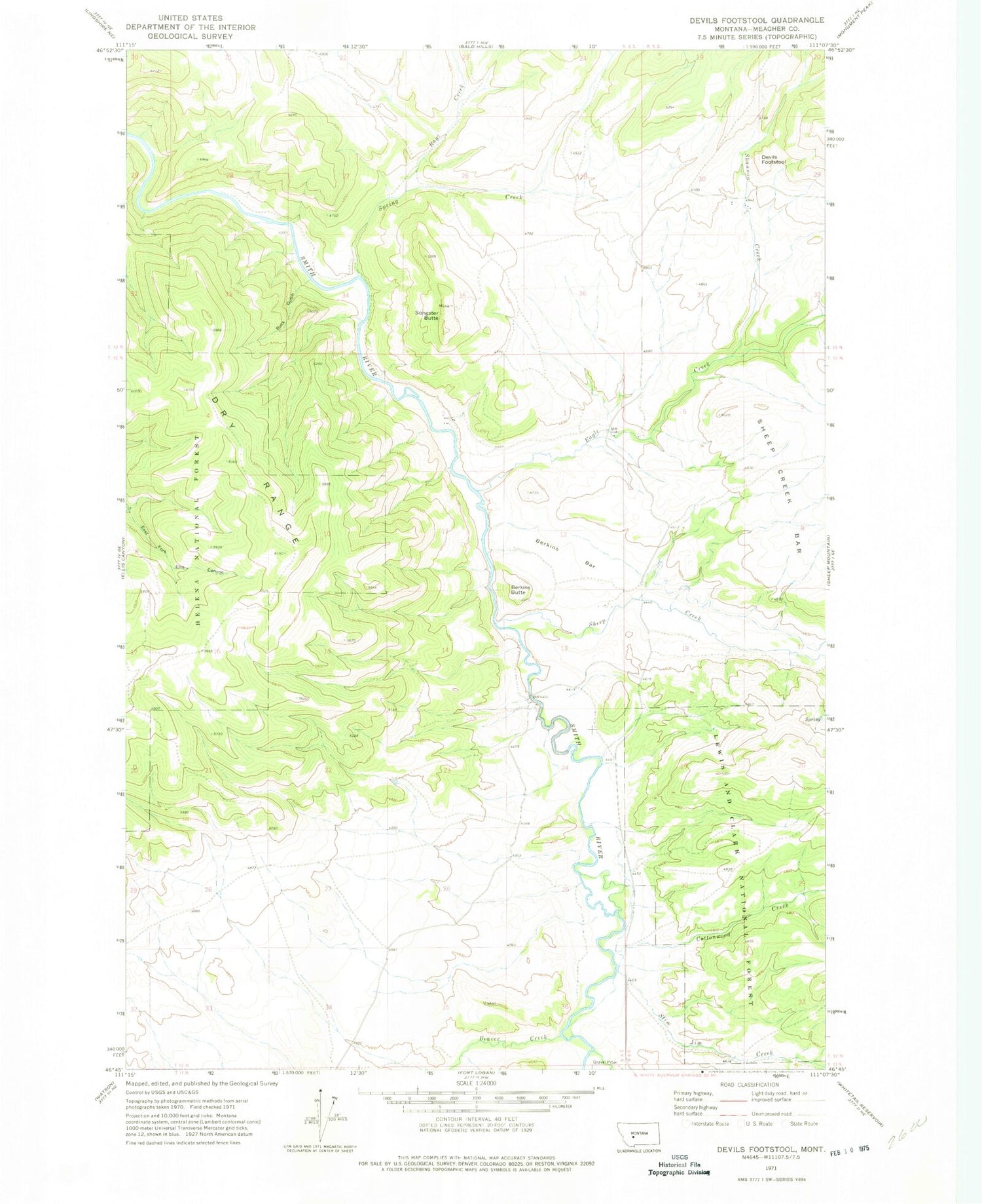
Classic USGS Devils Footstool Montana 7.5'x7.5' Topo Map
Couldn't load pickup availability
Historical USGS topographic quad map of Devils Footstool in the state of Montana. Map scale may vary for some years, but is generally around 1:24,000. Print size is approximately 24" x 27"
This quadrangle is in the following counties: Meagher.
The map contains contour lines, roads, rivers, towns, and lakes. Printed on high-quality waterproof paper with UV fade-resistant inks, and shipped rolled.
Contains the following named places: Beaver Creek, Berkins Bar, Berkins Butte, Buck Gulch, Camp Baker Recreation Site, Cottonwood Creek, Devils Footstool, Eagle Creek, Fort Baker Sportmans Access, Ray Creek, Shannon Creek, Sheep Creek, Slim Jim Creek, Songster Butte, Songster Butte Mine, Spring Creek, Whitetail Deer Creek