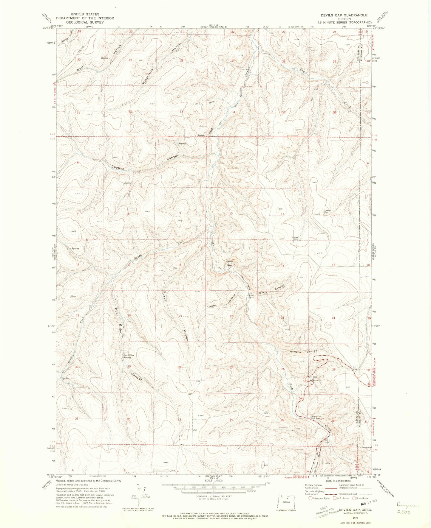
MyTopo
Classic USGS Devils Gap Oregon 7.5'x7.5' Topo Map
Regular price
$16.95
Regular price
Sale price
$16.95
Unit price
per
Couldn't load pickup availability
Historical USGS topographic quad map of Devils Gap in the state of Oregon. Map scale may vary for some years, but is generally around 1:24,000. Print size is approximately 24" x 27"
This quadrangle is in the following counties: Gilliam, Morrow.
The map contains contour lines, roads, rivers, towns, and lakes. Printed on high-quality waterproof paper with UV fade-resistant inks, and shipped rolled.
Contains the following named places: Arbogast Ranch, Box Elder Canyon, Box Elder Spring, Brown Cemetery, Cayuse Canyon, Devils Gap, Dry Creek, Ghost Camp, Harris Canyon, Horse Hollow, Sixmile Canyon, Sixmile Creek, South Fork Rock Creek, Tivate Canyon, Wallace Canyon, Whyte Park Rest Area