MyTopo
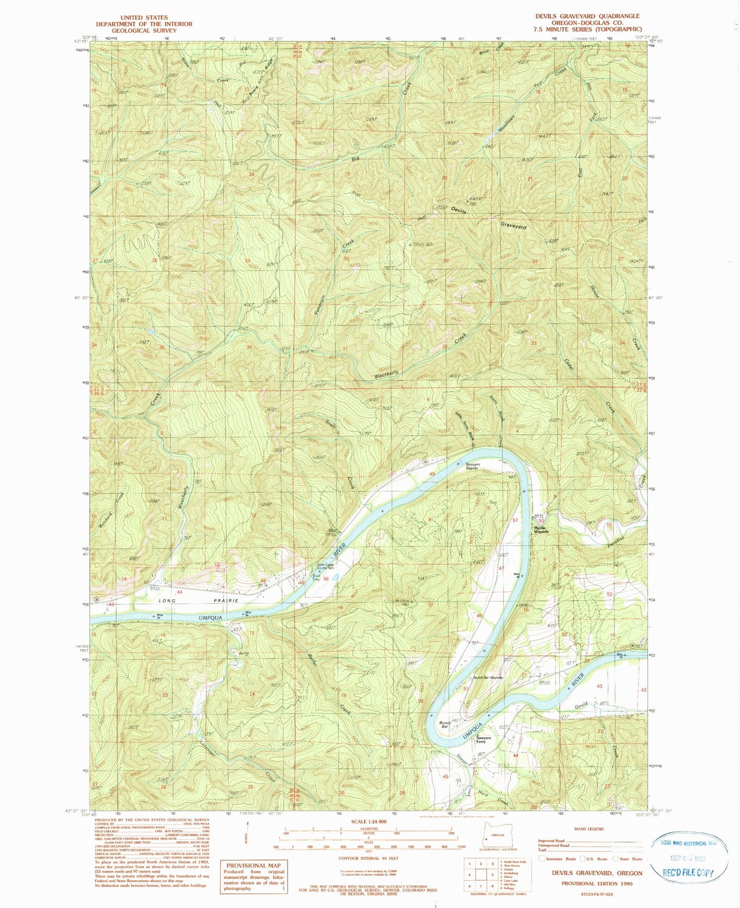
Classic USGS Devils Graveyard Oregon 7.5'x7.5' Topo Map
Couldn't load pickup availability
Historical USGS topographic quad map of Devils Graveyard in the state of Oregon. Map scale may vary for some years, but is generally around 1:24,000. Print size is approximately 24" x 27"
This quadrangle is in the following counties: Douglas.
The map contains contour lines, roads, rivers, towns, and lakes. Printed on high-quality waterproof paper with UV fade-resistant inks, and shipped rolled.
Contains the following named places: Brown Cemetery, Bunch Bar, Bunch Bar Wayside, Butler Creek, Cedar Creek, Devils Graveyard, East Fork Mosetown Creek, Gould Creek, Grabb Creek, Hurd Creek, Little Paradise Creek, Little Stony Brook Creek, Long Prairie, Lutsinger Creek, Paradise Creek, Patterson Creek, Sawyer Creek, Sawyer Rapids, Sawyers Ferry, Sawyers Rapids, Sawyers Rapids County Park Boat Ramp, Scare Ridge, Scott Creek, Scott Creek County Park, Scott Creek County Park Boat Ramp, Stony Brook, Umpqua Myrtle State Park, Weatherly Creek