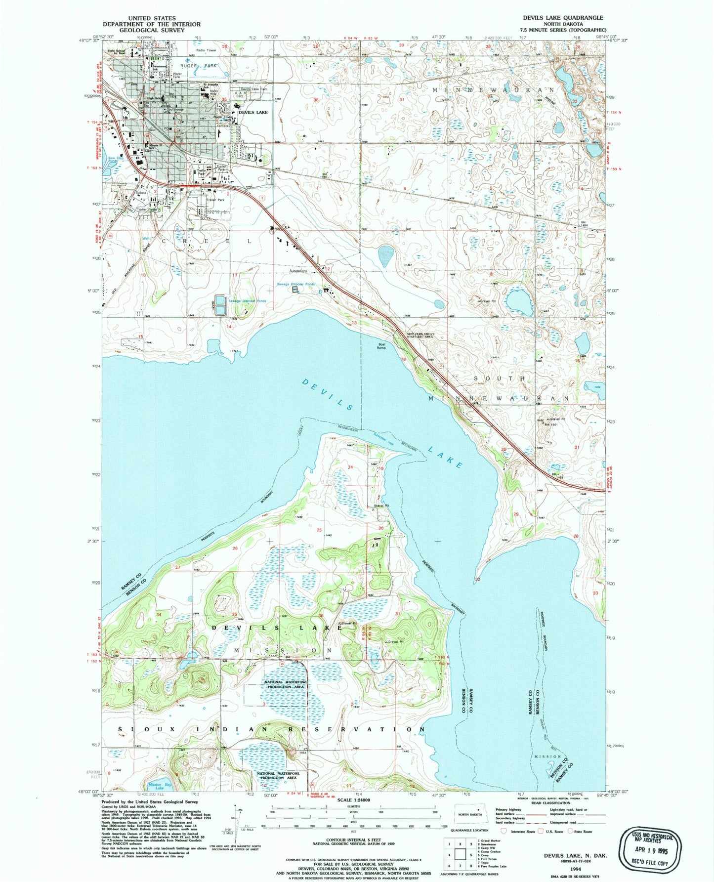
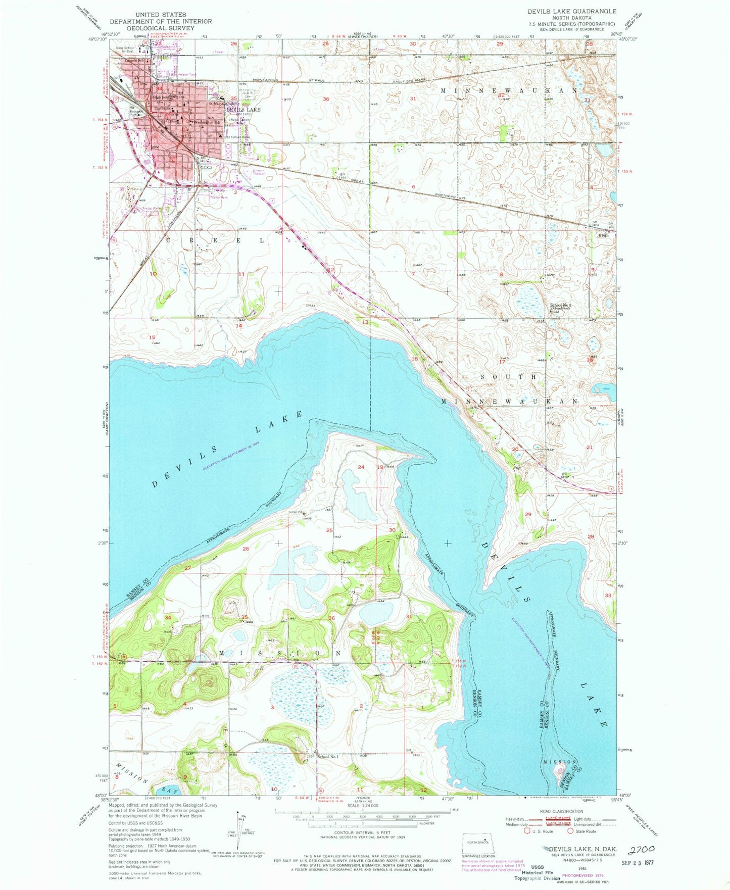
MyTopo
Classic USGS Devils Lake North Dakota 7.5'x7.5' Topo Map
Couldn't load pickup availability
Historical USGS topographic quad map of Devils Lake in the state of North Dakota. Map scale may vary for some years, but is generally around 1:24,000. Print size is approximately 24" x 27"
This quadrangle is in the following counties: Benson, Ramsey.
The map contains contour lines, roads, rivers, towns, and lakes. Printed on high-quality waterproof paper with UV fade-resistant inks, and shipped rolled.
Contains the following named places: Central Middle School, City of Devils Lake, Devils Lake City Fire Station, Devils Lake City Hall, Devils Lake Police Department, Devils Lake Post Office, Devils Lake Rural Fire Department, Good Samaritan Society-Devils Lake, Grand Army of the Republic Cemetery, Heartland Care Center, KDLR-AM (Devils Lake), KDVL-FM (Devils Lake), Keith, Lake Region Ambulance Service, Lake Region Heritage Center, Lake Region Public Library, Lincoln School, Minnie H Elementary School, North Dakota Highway Patrol Eastern Division Devils Lake Office, North Dakota Maritime Museum, North Dakota School for the Deaf, Prairie View Elementary School, Ramsey County Courthouse, Ramsey County Jail, Ramsey County Sheriff's Office, Roosevelt Park, Saint Alexius Health Devils Lake Hospital, Saint Joseph Elementary School, Saint Joseph's Catholic Cemetery, Saint Marys Academy, School Number 1, School Number 3, Sheriff's Musuem, Sweetwater Elementary School, Washington School