MyTopo
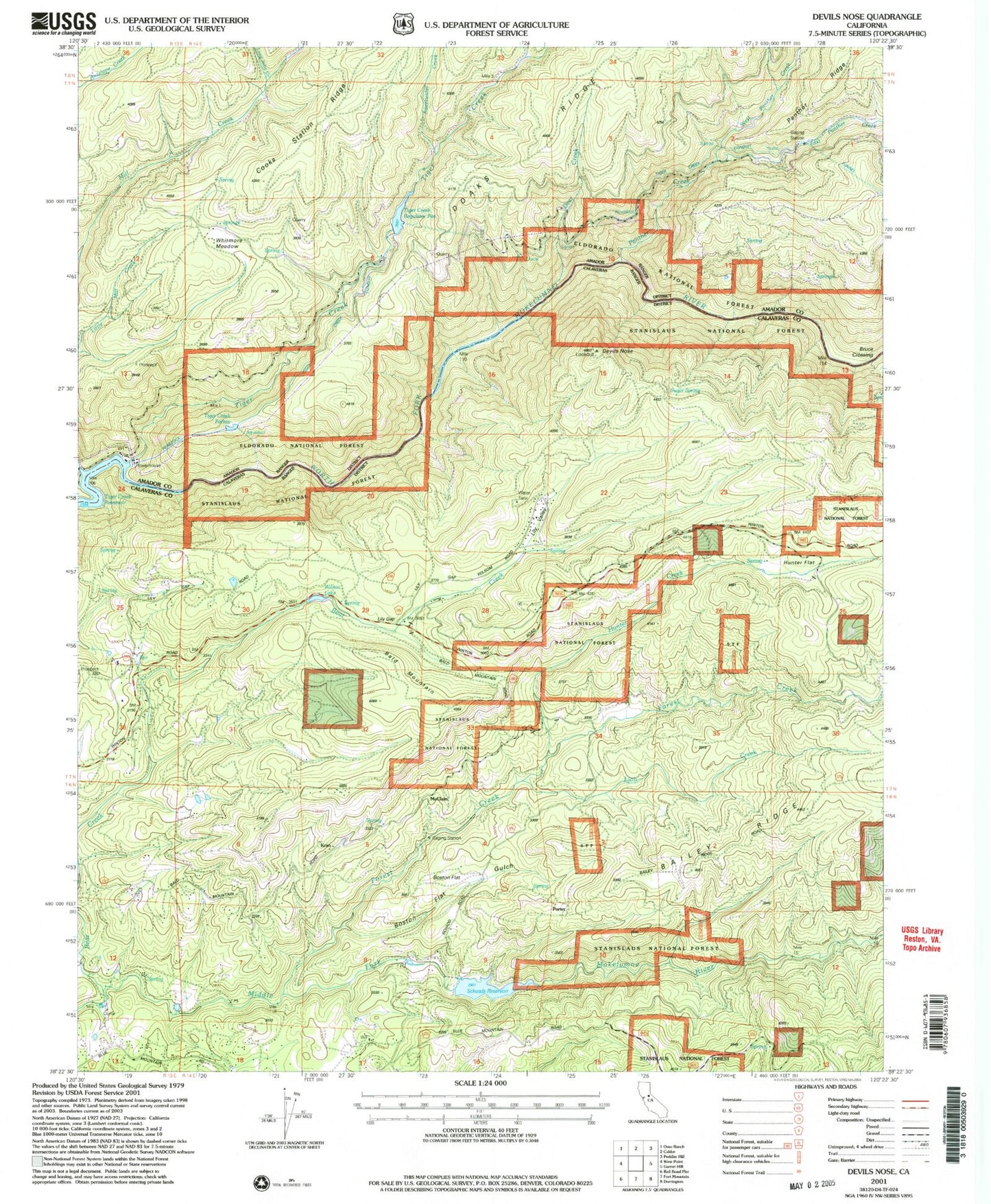
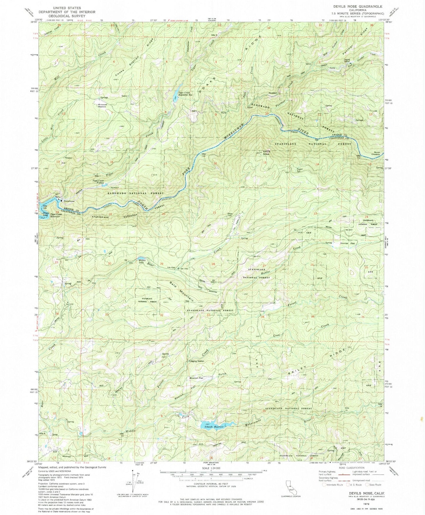
Classic USGS Devils Nose California 7.5'x7.5' Topo Map
Couldn't load pickup availability
Historical USGS topographic quad map of Devils Nose in the state of California. Map scale may vary for some years, but is generally around 1:24,000. Print size is approximately 24" x 27"
This quadrangle is in the following counties: Amador, Calaveras.
The map contains contour lines, roads, rivers, towns, and lakes. Printed on high-quality waterproof paper with UV fade-resistant inks, and shipped rolled.
Contains the following named places: Bald Mountain, Boston Flat, Boston Flat Gulch, Bruce Crossing, Cooks Ranch, Deer Creek, Devils Nose, East Panther Creek, Forest Creek, Hunter Creek, Hunter Flat, Kran, Lily Gap, Lily Valley, Lion Creek, Little Tiger Creek, Long John Creek, McClain, Middle Fork 82-002 Dam, Panther Creek, Panther Portal, Porter, Schaads Reservoir, Sugar Spring, Sweetwater Creek, Tiger Creek, Tiger Creek Conduit, Tiger Creek Forbay, Tiger Creek Forebay 97-126 Dam, Tiger Creek Picnic Area, Tiger Creek Regulation Reservoir, Tiger Creek Regulator 97-104 Dam, Tiger Creek Reservoir, West Panther Creek, West Point Reg 1024-002 Dam, Whitmore Meadow, Wilson Lake, ZIP Codes: 95255, 95257