MyTopo
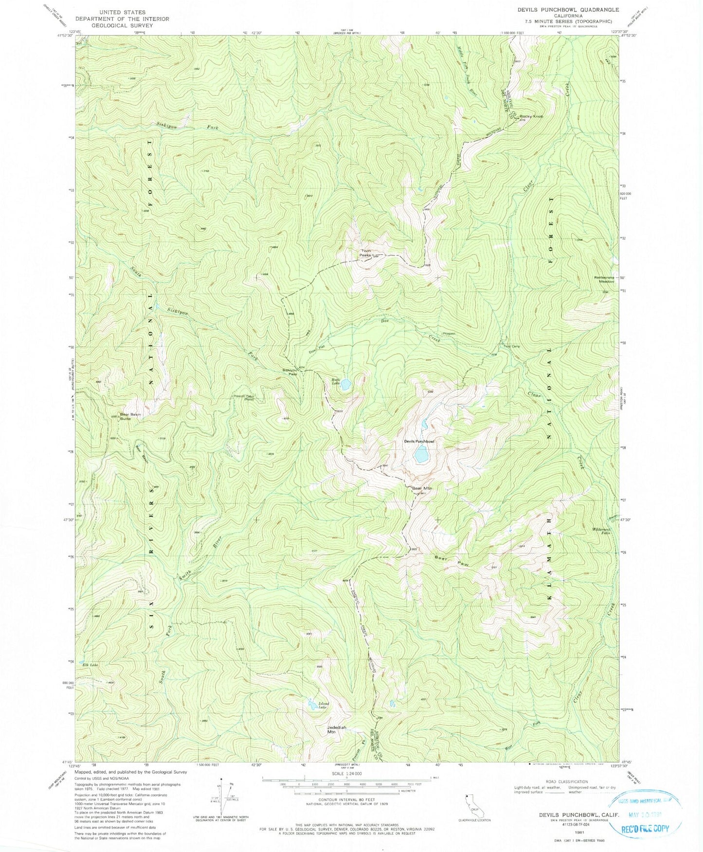
Classic USGS Devils Punchbowl California 7.5'x7.5' Topo Map
Couldn't load pickup availability
Historical USGS topographic quad map of Devils Punchbowl in the state of California. Typical map scale is 1:24,000, but may vary for certain years, if available. Print size: 24" x 27"
This quadrangle is in the following counties: Del Norte, Siskiyou.
The map contains contour lines, roads, rivers, towns, and lakes. Printed on high-quality waterproof paper with UV fade-resistant inks, and shipped rolled.
Contains the following named places: Jedediah Mountain, Bear Paw, Siskiyou Pass, Rocky Knob, Wilderness Falls, Bear Basin, Bear Basin Butte, Bear Mountain, Buck Lake, Devils Punchbowl, Doe Creek, Doe Flat, Elk Lake, Island Lake, Little Bear Basin, Prescott Cabin, Preston Creek, Rattlesnake Meadow, Trout Camp, Twin Peaks, West Fork Clear Creek, Siskiyou Mountains