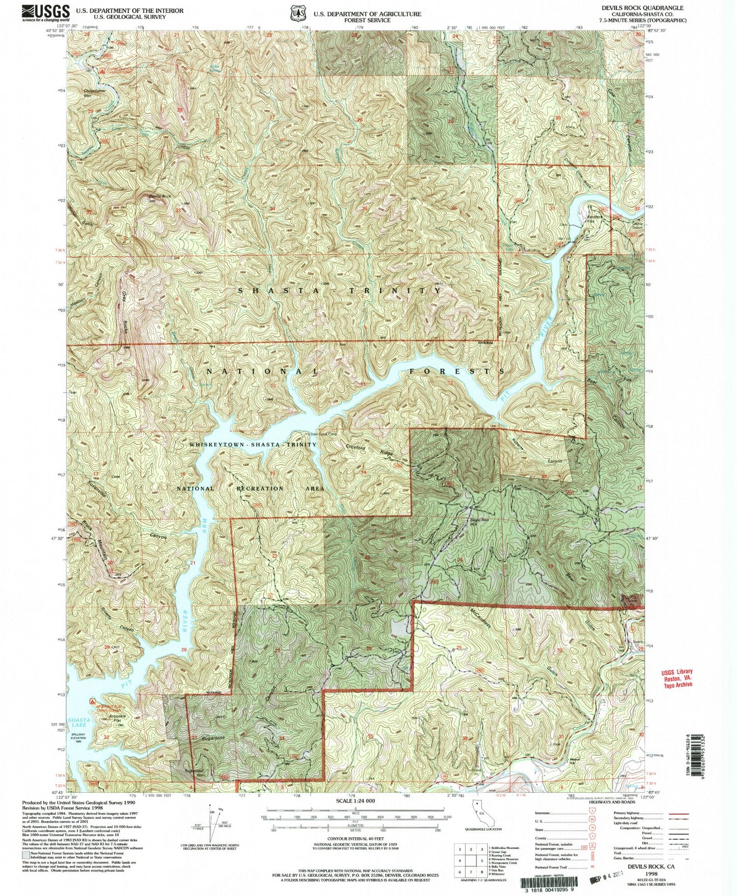
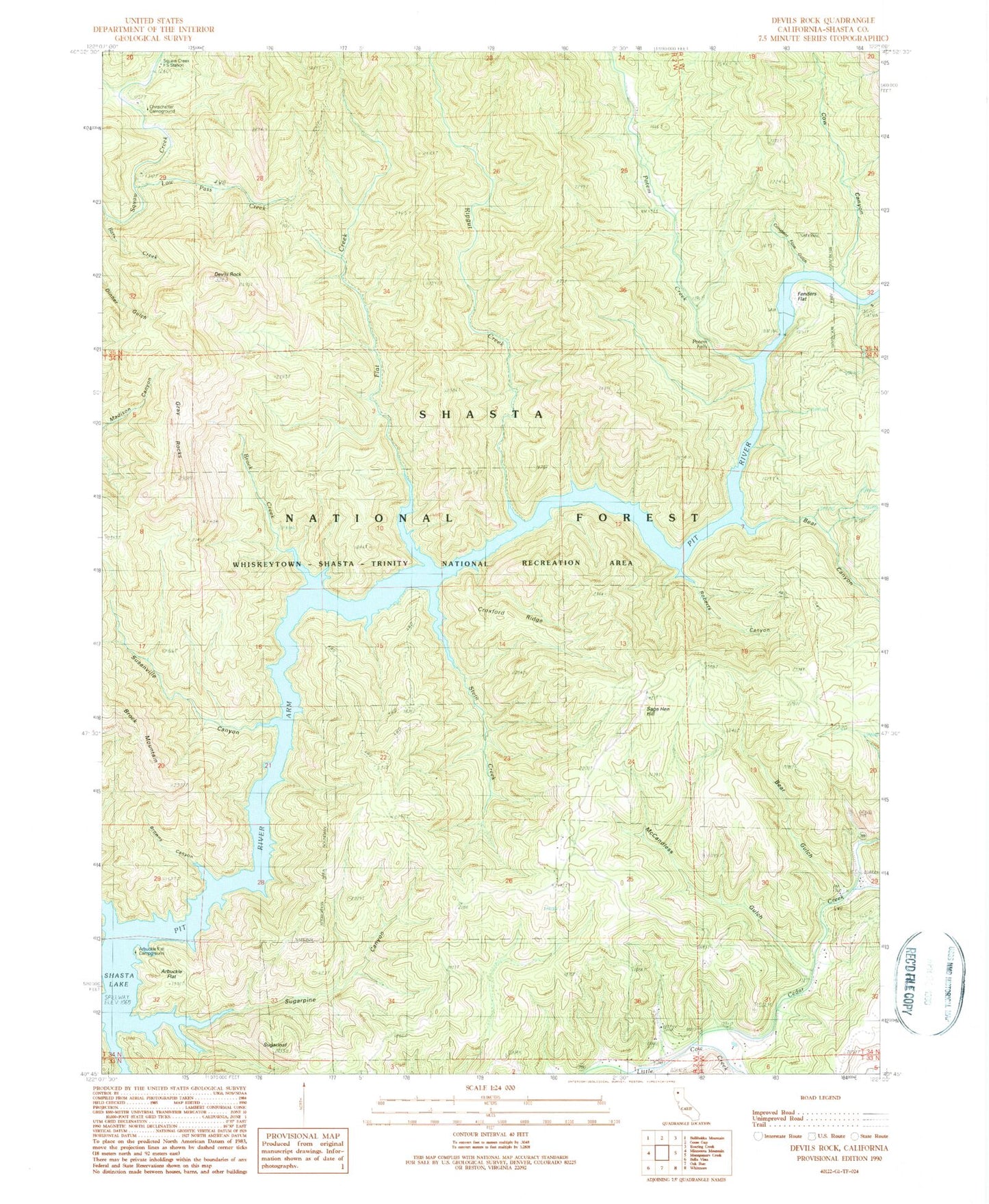
MyTopo
Classic USGS Devils Rock California 7.5'x7.5' Topo Map
Couldn't load pickup availability
Historical USGS topographic quad map of Devils Rock in the state of California. Map scale may vary for some years, but is generally around 1:24,000. Print size is approximately 24" x 27"
This quadrangle is in the following counties: Shasta.
The map contains contour lines, roads, rivers, towns, and lakes. Printed on high-quality waterproof paper with UV fade-resistant inks, and shipped rolled.
Contains the following named places: Alder Spring, Arbuckle Camp, Arbuckle Flat, Arbuckle Flat Campground, Bars Creek, Bear Canyon, Bear Gulch, Brock Creek, Browns Canyon, Cedar Creek, Chirpchatler Camp, Constant Flow Gulch, Cow Canyon, Croxford Ridge, Devils Rock, Fenders Flat, Flat Creek, Gray Rocks, Low Pass Creek, McCandless Gulch, Mineral School, Potem Creek, Potem Falls, Ripgut Creek, Roberts Canyon, Sage Hen Hill, Shasta County, Squaw Creek Fire Control Station, Stein Creek, Stein Creek Camp, Sugarloaf, Sugarpine Canyon, Susanville Canyon