MyTopo
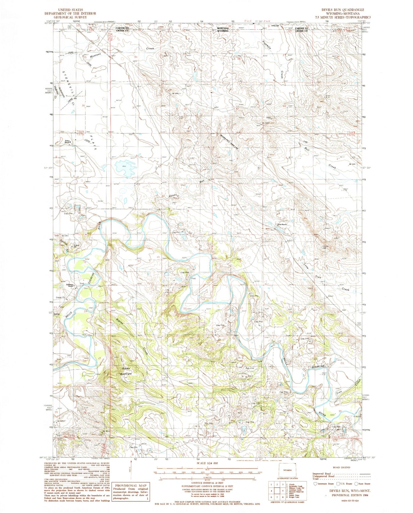
Classic USGS Devils Run Wyoming 7.5'x7.5' Topo Map
Couldn't load pickup availability
Historical USGS topographic quad map of Devils Run in the states of Wyoming, Montana. Map scale may vary for some years, but is generally around 1:24,000. Print size is approximately 24" x 27"
This quadrangle is in the following counties: Carter, Crook.
The map contains contour lines, roads, rivers, towns, and lakes. Printed on high-quality waterproof paper with UV fade-resistant inks, and shipped rolled.
Contains the following named places: 09S61E31CCCC01 Well, Bean Ranch, Coburn Ranch, Devils Run, Green Mountain, Iron Creek, King Number 1 Dam, King Number 1 Reservoir, Montana Creek Mine, Newby Creek Dam, Newby Creek Reservoir, Newland Number 4 Dam, Newland Number 4 Reservoir, Raber Ranch, Ripley Creek, Robinson Ranch, Robinson School, Spring Creek, Stoneville Flats, Trouble Creek