MyTopo
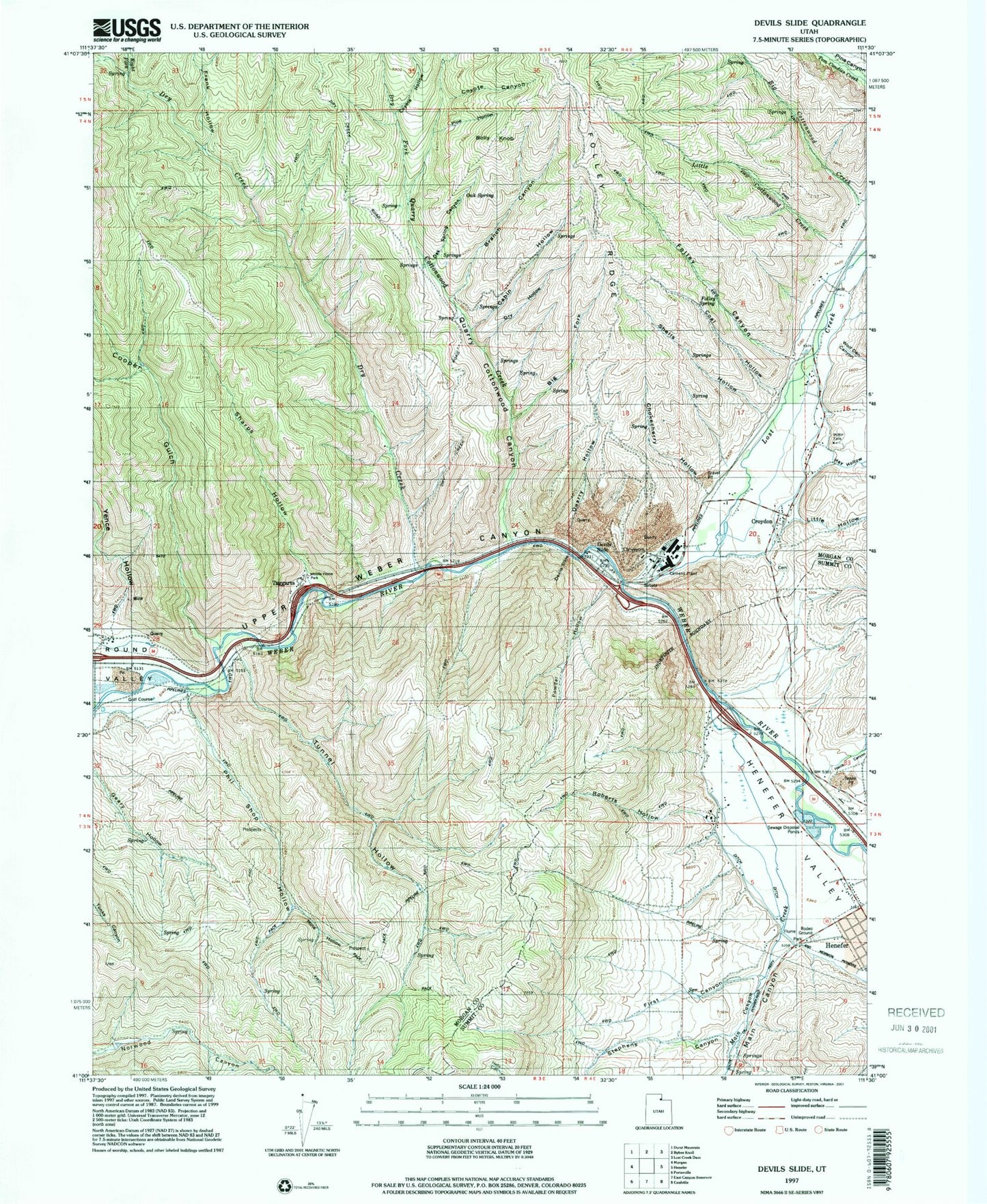
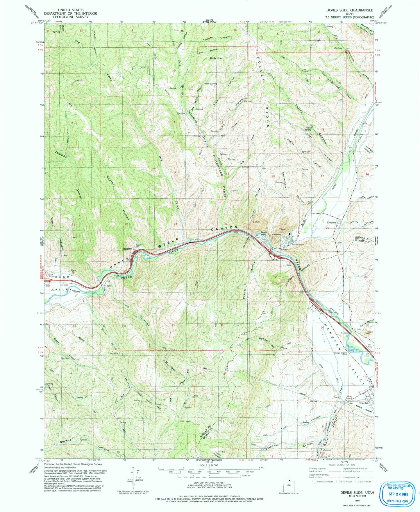
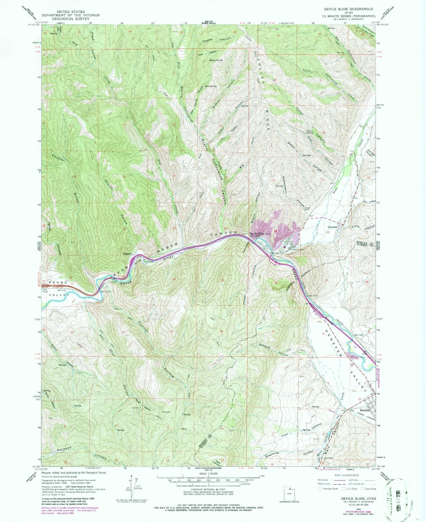
Classic USGS Devils Slide Utah 7.5'x7.5' Topo Map
Couldn't load pickup availability
Historical USGS topographic quad map of Devils Slide in the state of Utah. Map scale may vary for some years, but is generally around 1:24,000. Print size is approximately 24" x 27"
This quadrangle is in the following counties: Morgan, Summit.
The map contains contour lines, roads, rivers, towns, and lakes. Printed on high-quality waterproof paper with UV fade-resistant inks, and shipped rolled.
Contains the following named places: Big Cottonwood Creek, Big Fork, Bolly Knob, Branch Canyon, Cabin Hollow, Chokecherry Hollow, Coal Hollow, Cooper Gulch, Coyote Canyon, Coyote Hollow, Croydon, Croydon Cemetery, Devils Slide, Dry Creek, Dry Fork, Dry Hollow, First Canyon, Folley Canyon, Folley Spring, Frank Hollow, Harris Canyon, Hay Hollow, Henefer Valley, Little Cottonwood Creek, Little Hollow, Lost Creek, Lost Valley, Main Canyon, Main Canyon Creek, Mine Hollow, Morgan County, Oak Spring, Oak Spring Canyon, Phil Shop Hollow, Pipe Hollow, Powder Hollow, Quarry Cottonwood Canyon, Quarry Cottonwood Creek, Quarry Hollow, Right Fork Dry Creek, Roberts Hollow, Sharps Hollow, Shells Hollow, Stephens Canyon, Taggarts, Tunnel Hollow, Wolf Den Canyon, Yence Hollow